
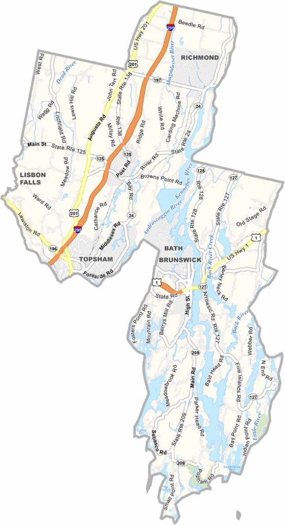
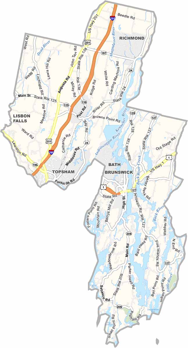
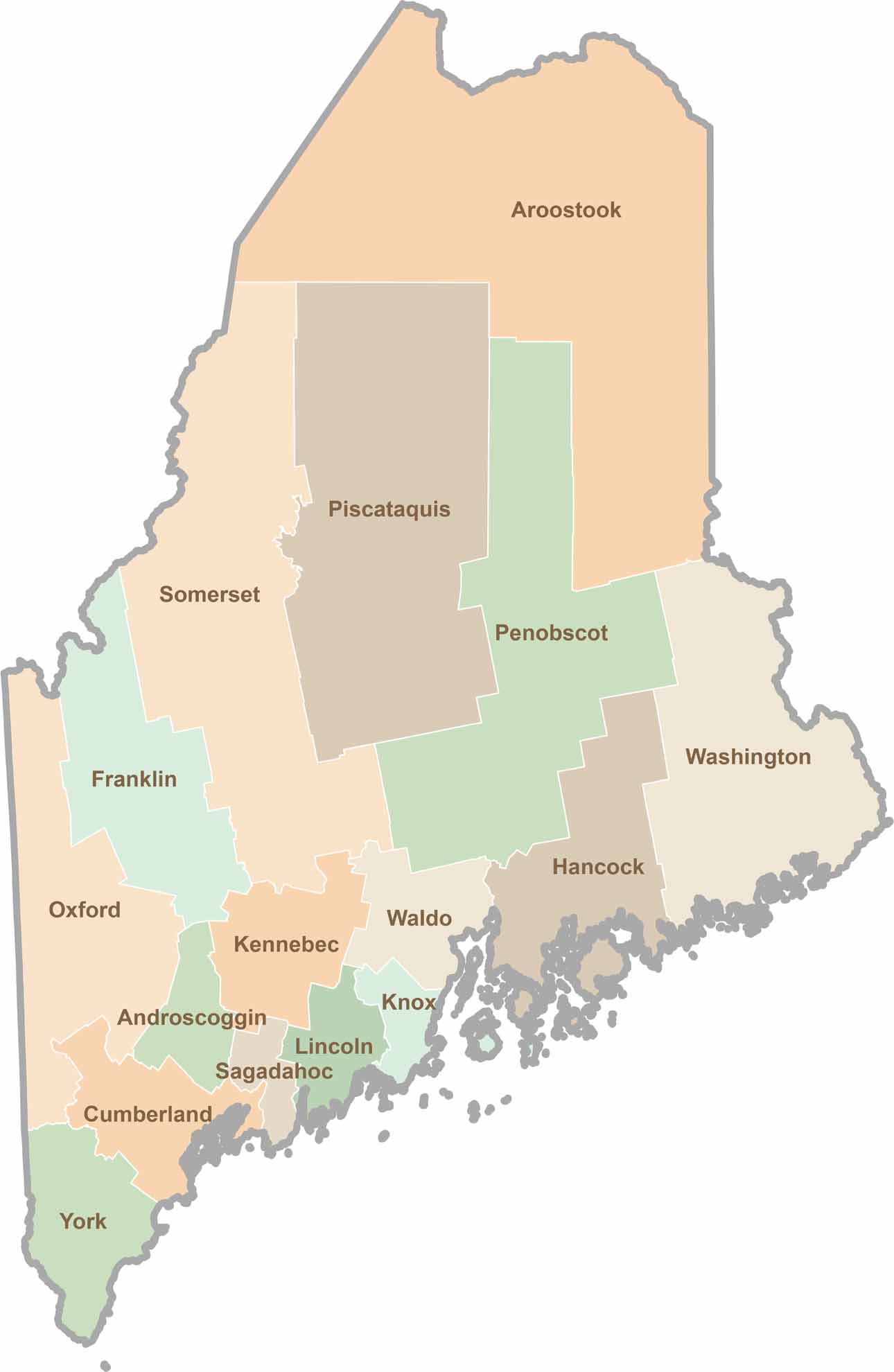
Sagadahoc County may be the smallest county in Maine by area, but it certainly packs a punch. Located along the state’s central coast, it’s where the mighty Kennebec River meets the Atlantic Ocean.
Bath, the county seat, is known as the “City of Ships.” And for good reason. Bath Iron Works has been building Navy destroyers for more than a century.
Popham Beach is a local favorite, offering long stretches of sand and views of offshore islands. But the county isn’t all coastline. Inland, you’ll find rolling hills, farms, and peaceful forests.
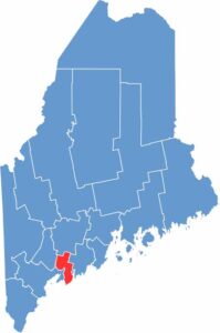
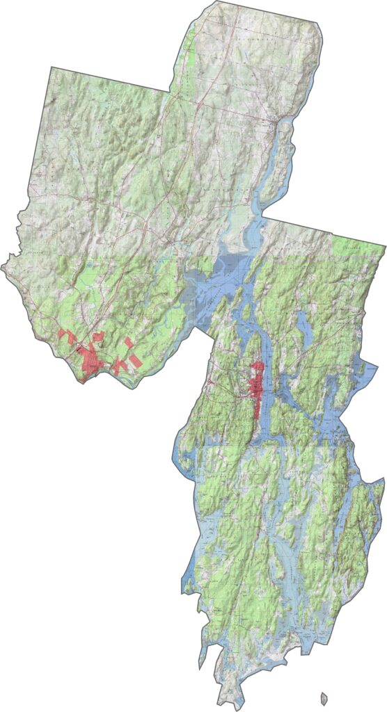
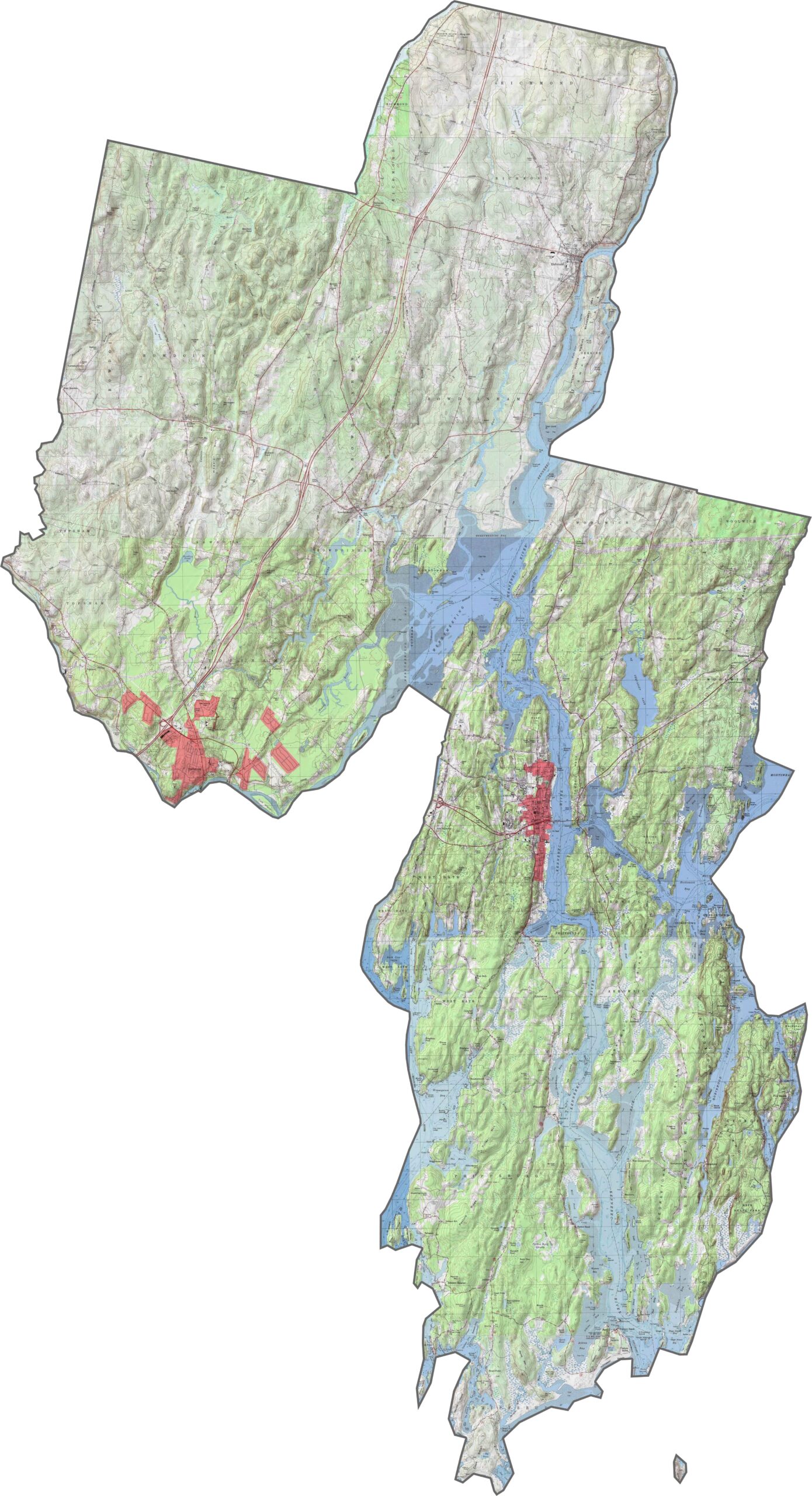
Sagadahoc is one of Maine’s flattest counties. It features gentle slopes that roll down toward the Kennebec River and the coast. Check out the subtle terrain variations with our zoom tool and topographic map below.
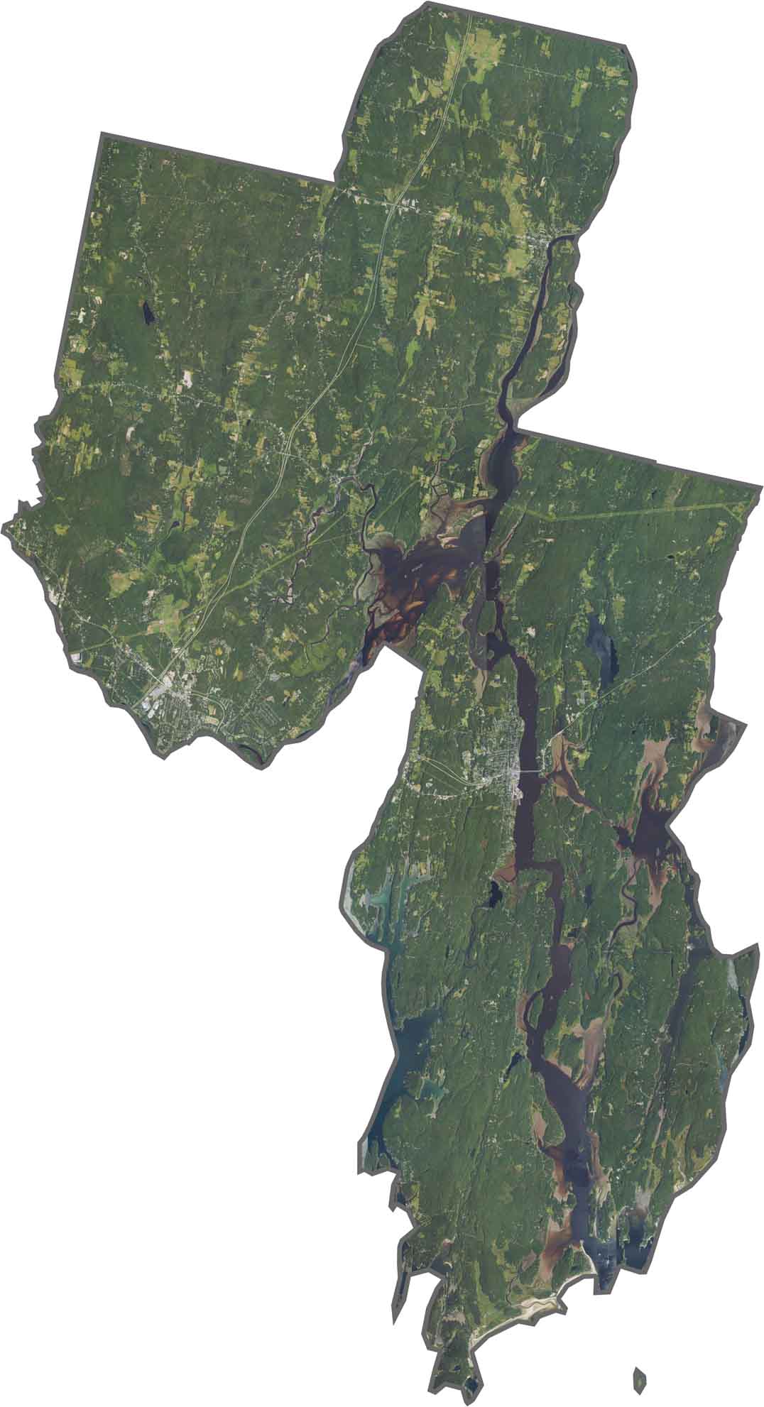
The Kennebec River is the main feature of Sagadahoc County. You can see how it widens toward the south. Farmland and forests alternate across the landscape, creating a mix of greens and browns. Small coastal islands fill the mouth of the river where it meets the Atlantic.
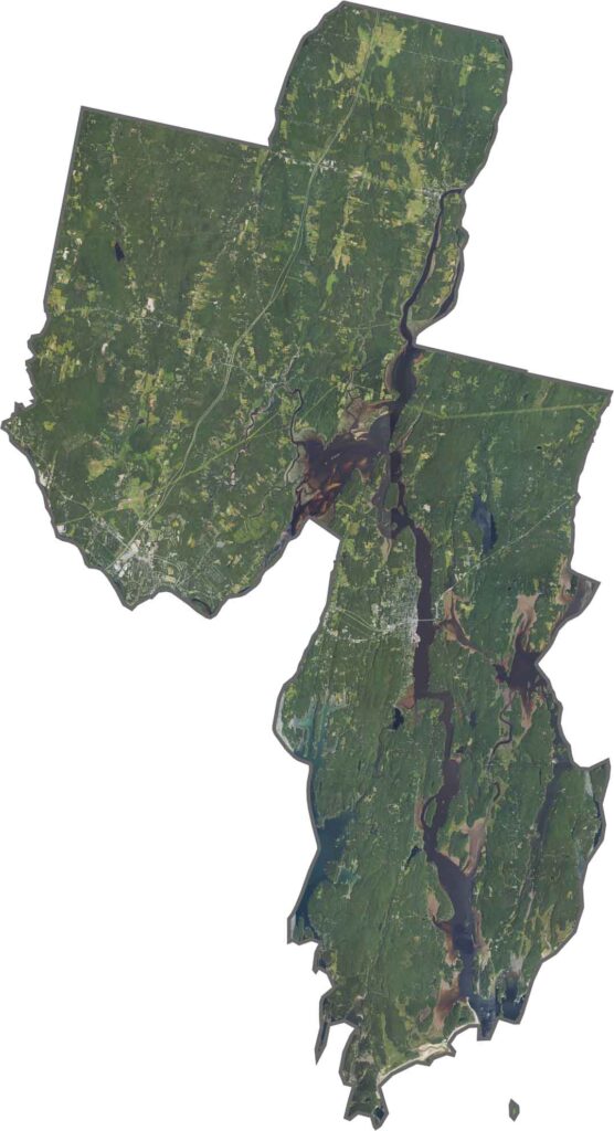
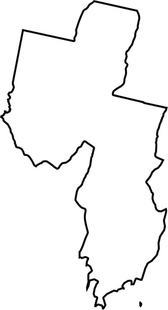
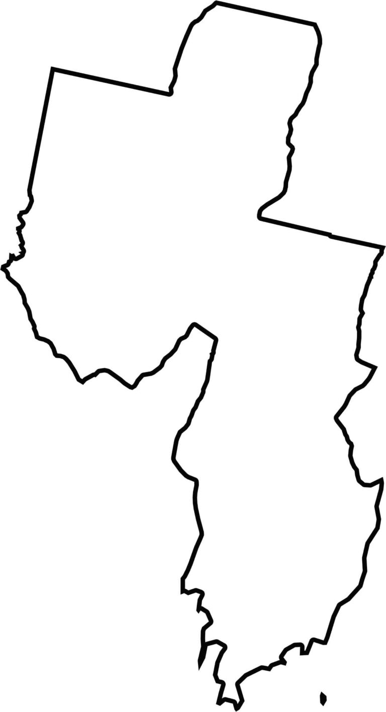
Sagadahoc County is small and compact, with a wedge-like shape pointing southwest. The Atlantic Ocean forms its southern edge.

Life moves at the pace of the tides here. One day might be spent hiking forest trails, and the next watching fog roll over quiet harbors. Discover what makes each county special with our Maine county maps.