
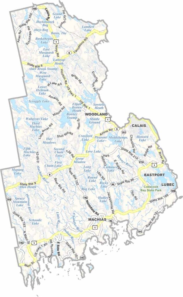
Bordering New Brunswick, Canada, Washington County sits along the eastern edge of Maine. Rocky shores and dense forests shape much of the landscape here.
Blueberries are big business in the area. The county produces a huge share of the world’s wild blueberries, and you’ll see them everywhere, from roadside stands to local festivals.
Locals call it “Sunrise County” because it’s among the first places in the U.S. to see the morning light. The area is also rich in history, with Native American roots and colonial-era settlements.
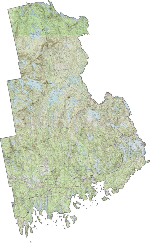
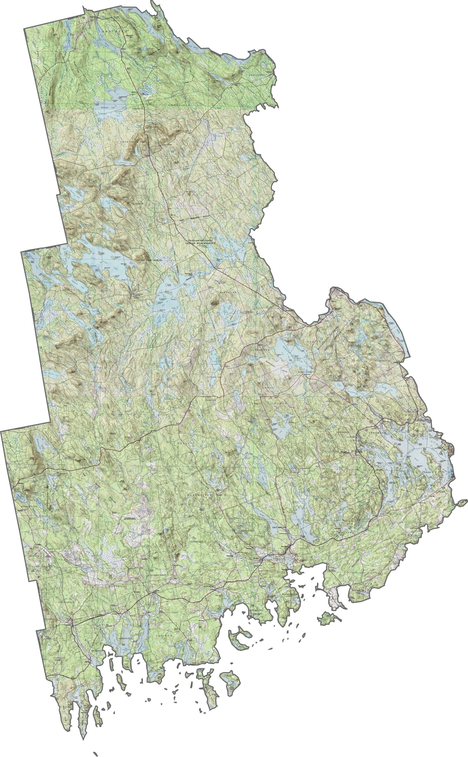
Washington County is Maine’s eastern frontier, with a landscape of boggy flats, hidden coves, and low, forested hills. Learn more about this county with our topographic map below.
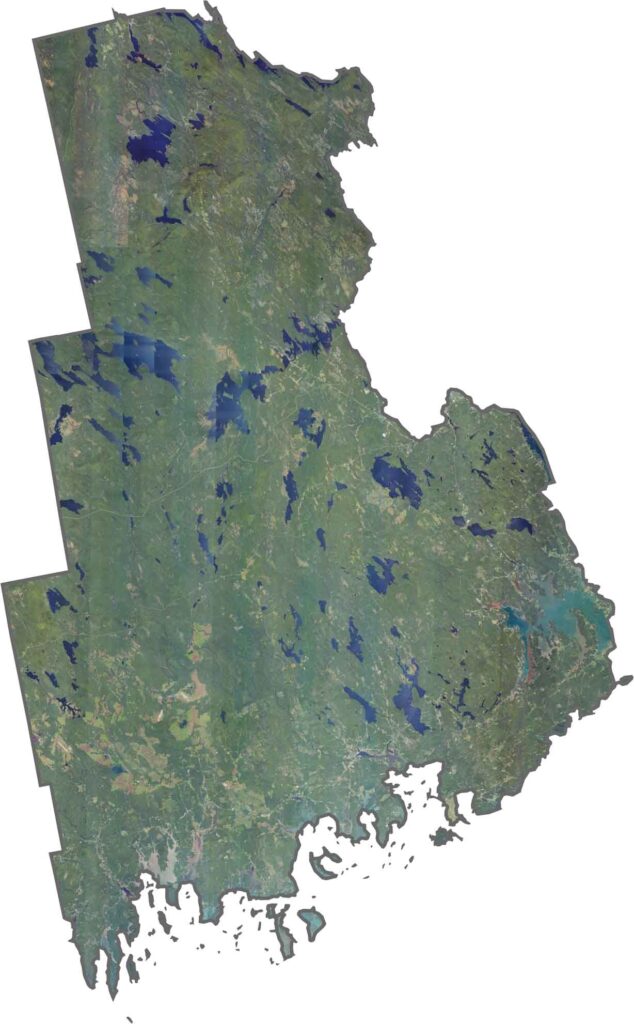
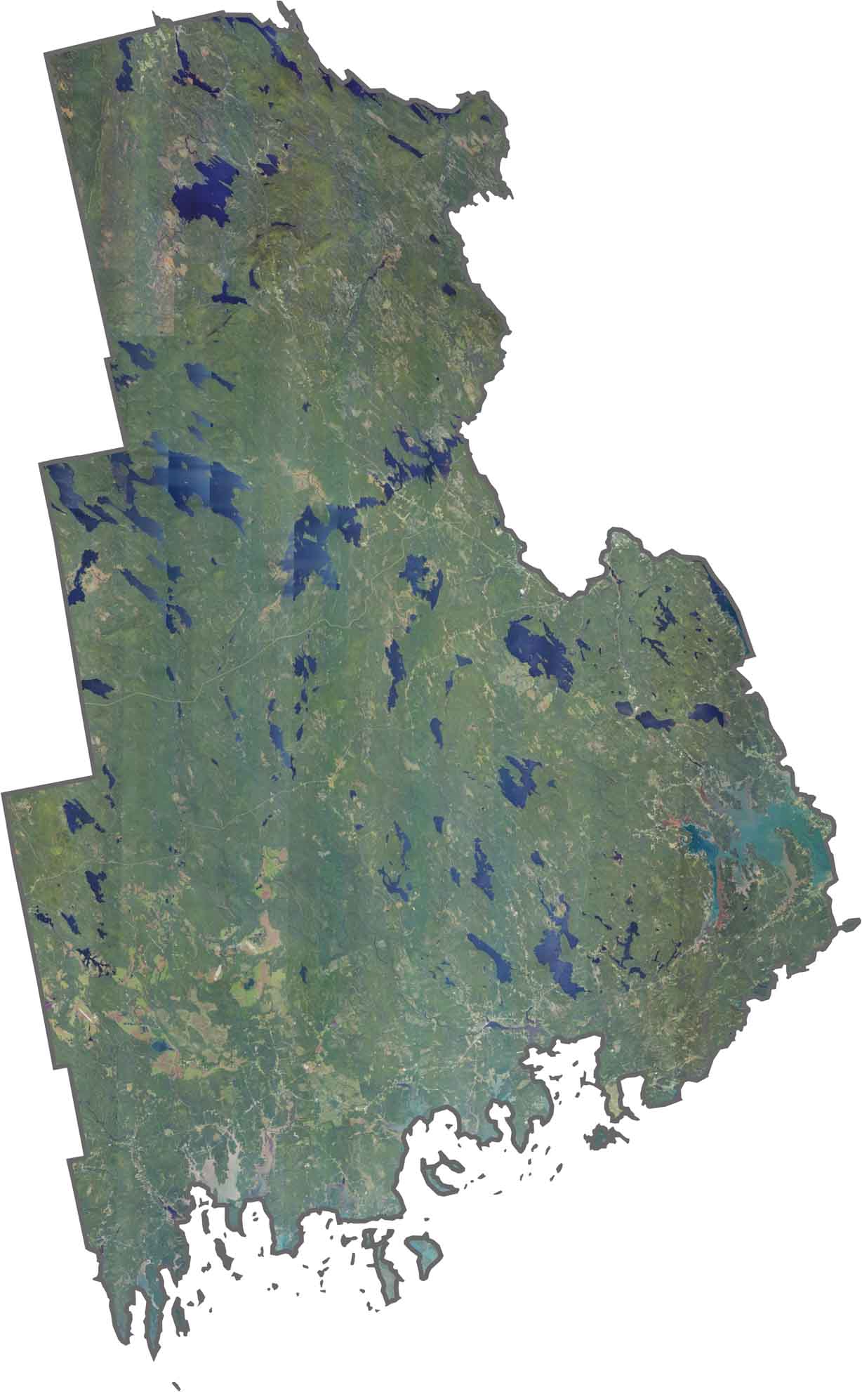
Our Washington County satellite map highlights its lakes, forests, and coastlines. Explore the vast wilderness surrounding the county with our zoom tool below.
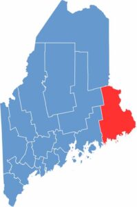
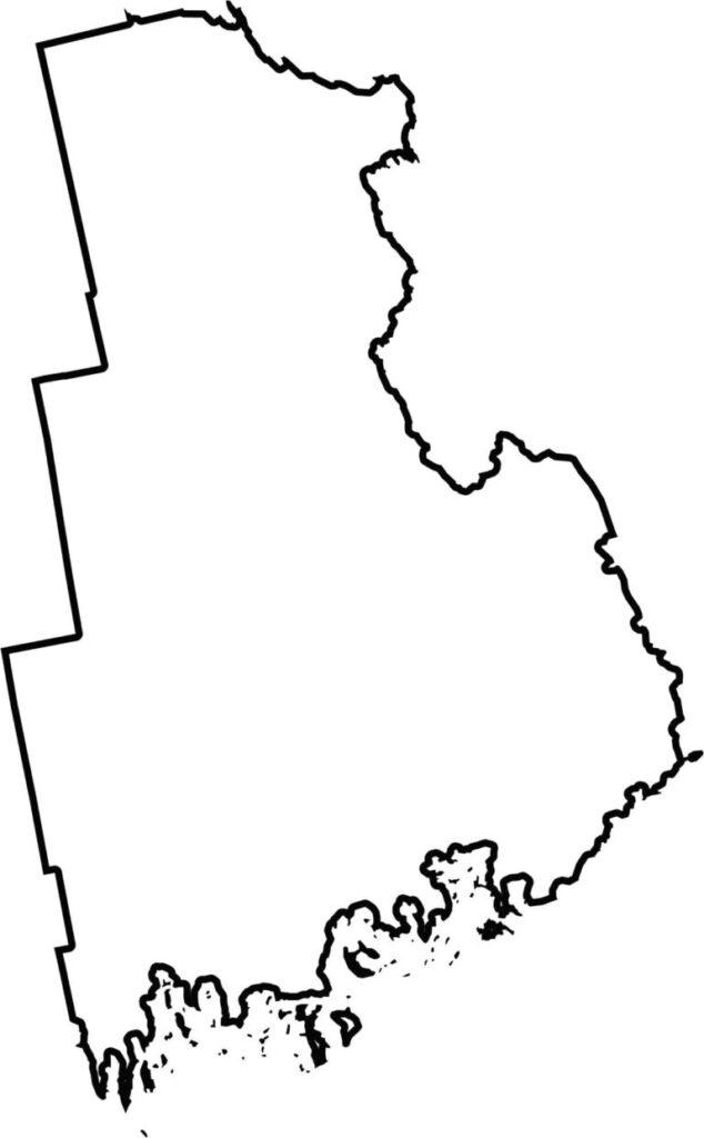
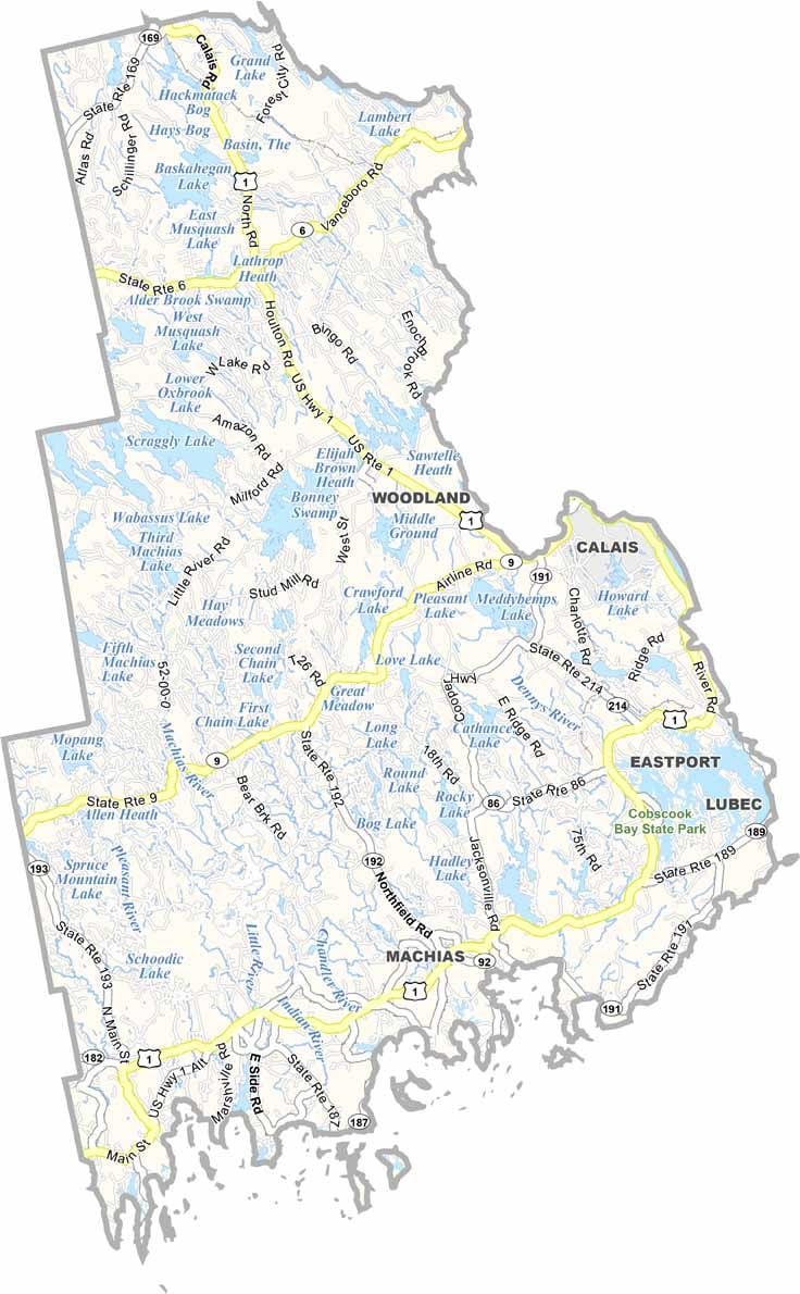
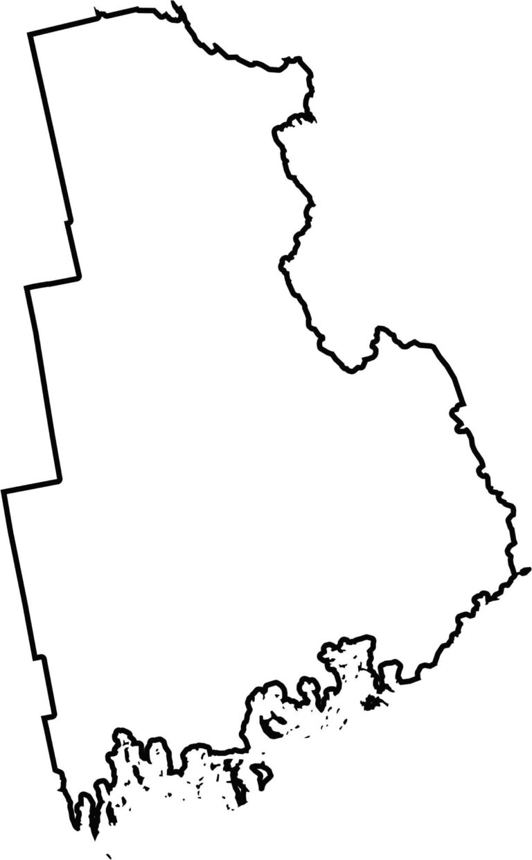
Washington County has an uneven shape that stretches to the Canadian border. The St. Croix River forms much of its boundary with New Brunswick. It also includes Quoddy Head State Park, the easternmost point in the United States.

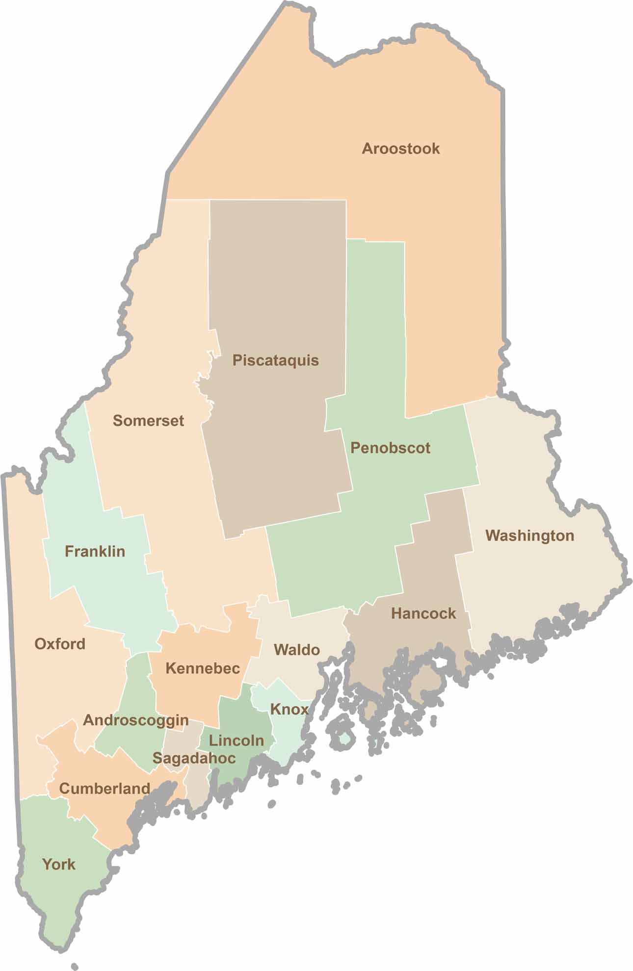
Life moves at the pace of the tides here. One day might be spent hiking forest trails, and the next watching fog roll over quiet harbors. Discover what makes each county special with our Maine county maps.