
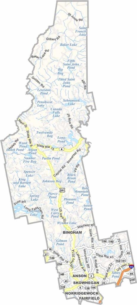
Somerset County sits in the heart of Maine, stretching from the Kennebec River all the way to the Canadian border. It’s a place of contrasts, where vast forests give way to rolling farmland.
Quiet towns are scattered throughout the landscape. Visitors come year-round for hiking, fishing, and snowmobiling. The county is named after an English county, but it’s pure Maine through and through.
Skowhegan, the county seat, is known for its annual fair. The Appalachian Trail winds through the county, bringing hikers from around the world.
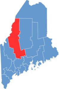
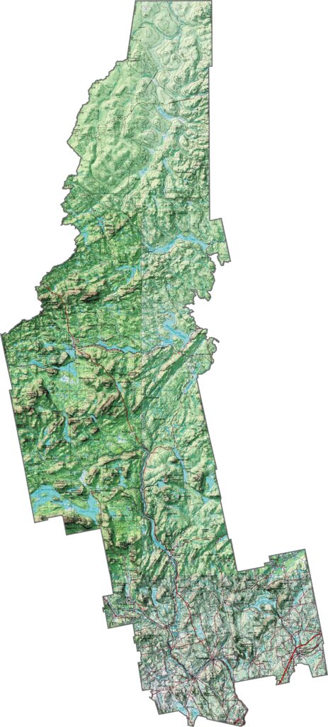
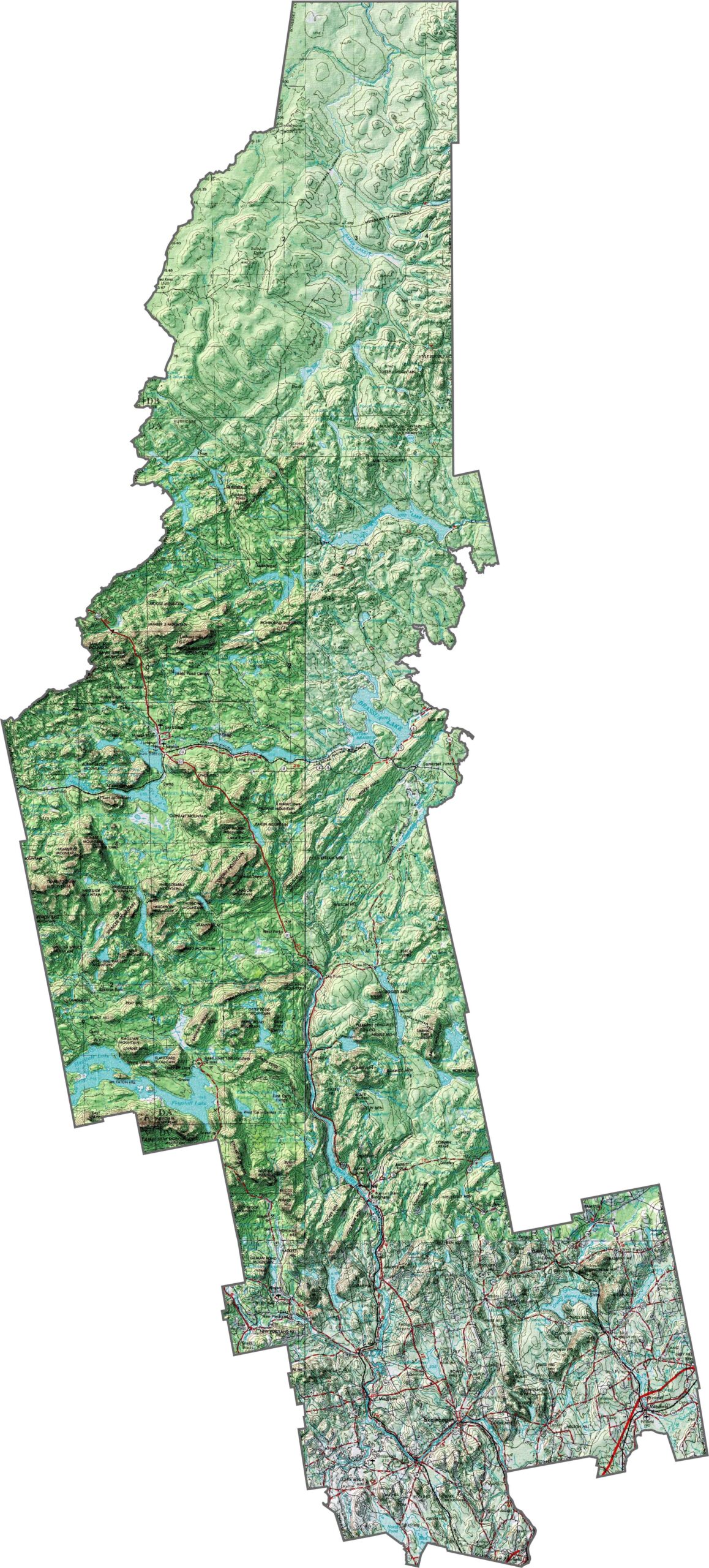
Somerset County is where the North Woods truly begin. The landscape is rugged, shaped by winding rivers and rolling mountains. The Kennebec Valley offers a gentler stretch of terrain, but even here, the land quickly rises into forested hills.
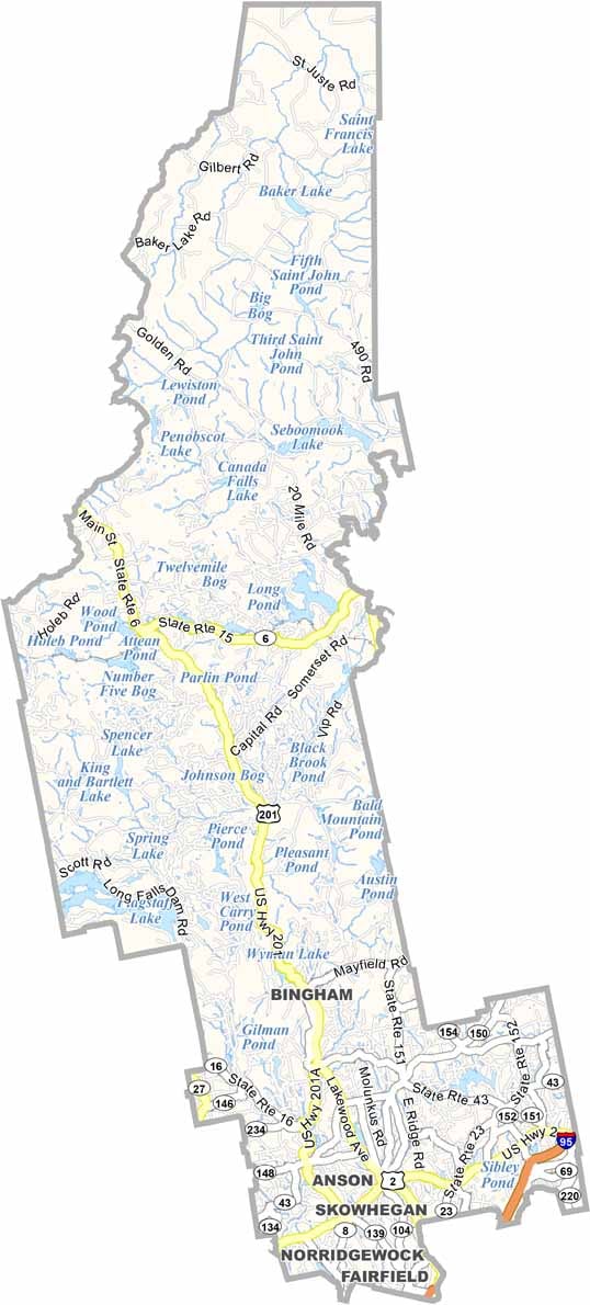
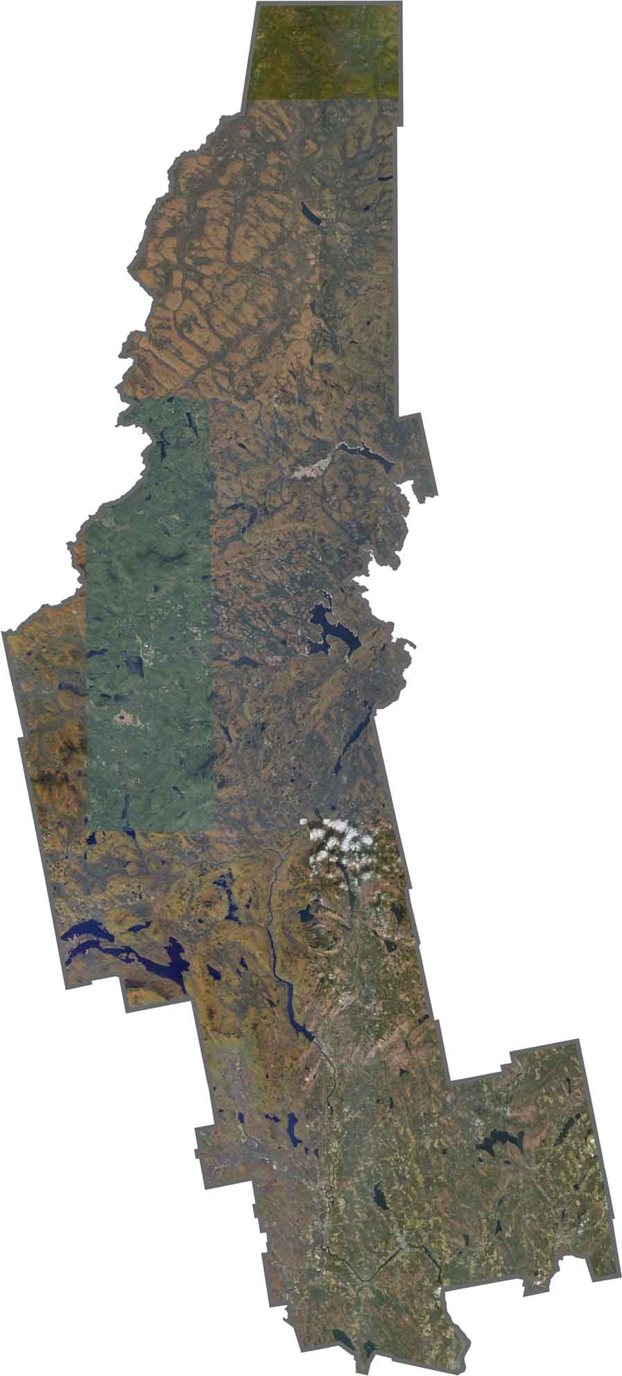
Our Somerset County satellite map highlights its vast forests and sparse settlements. Use our zoom tool to get familiar with this rugged part of Maine.
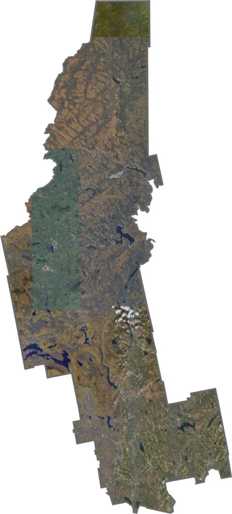
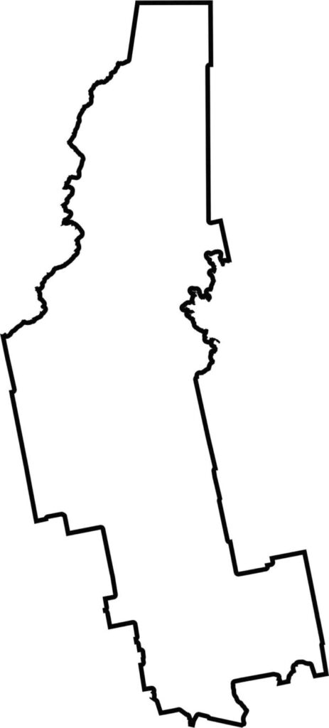
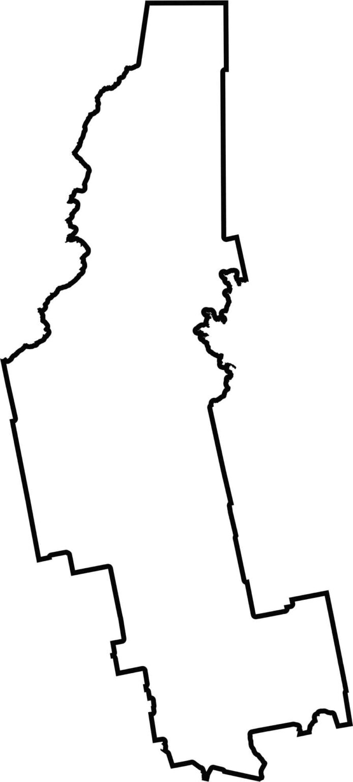
Somerset County has a long, narrow shape, resembling a spear pointing northwest. It borders six other counties, along with Quebec, Canada, to the northwest.

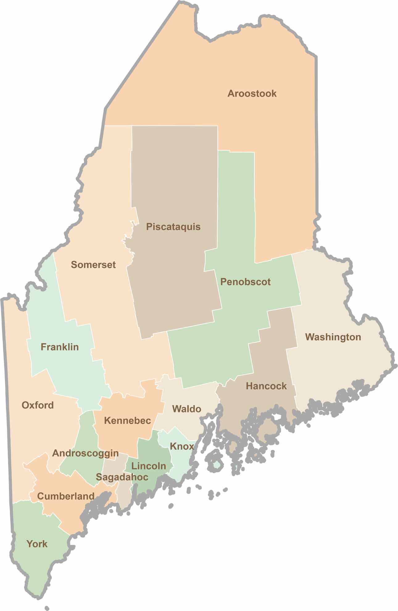
Life moves at the pace of the tides here. One day might be spent hiking forest trails, and the next watching fog roll over quiet harbors. Discover what makes each county special with our Maine county maps.