
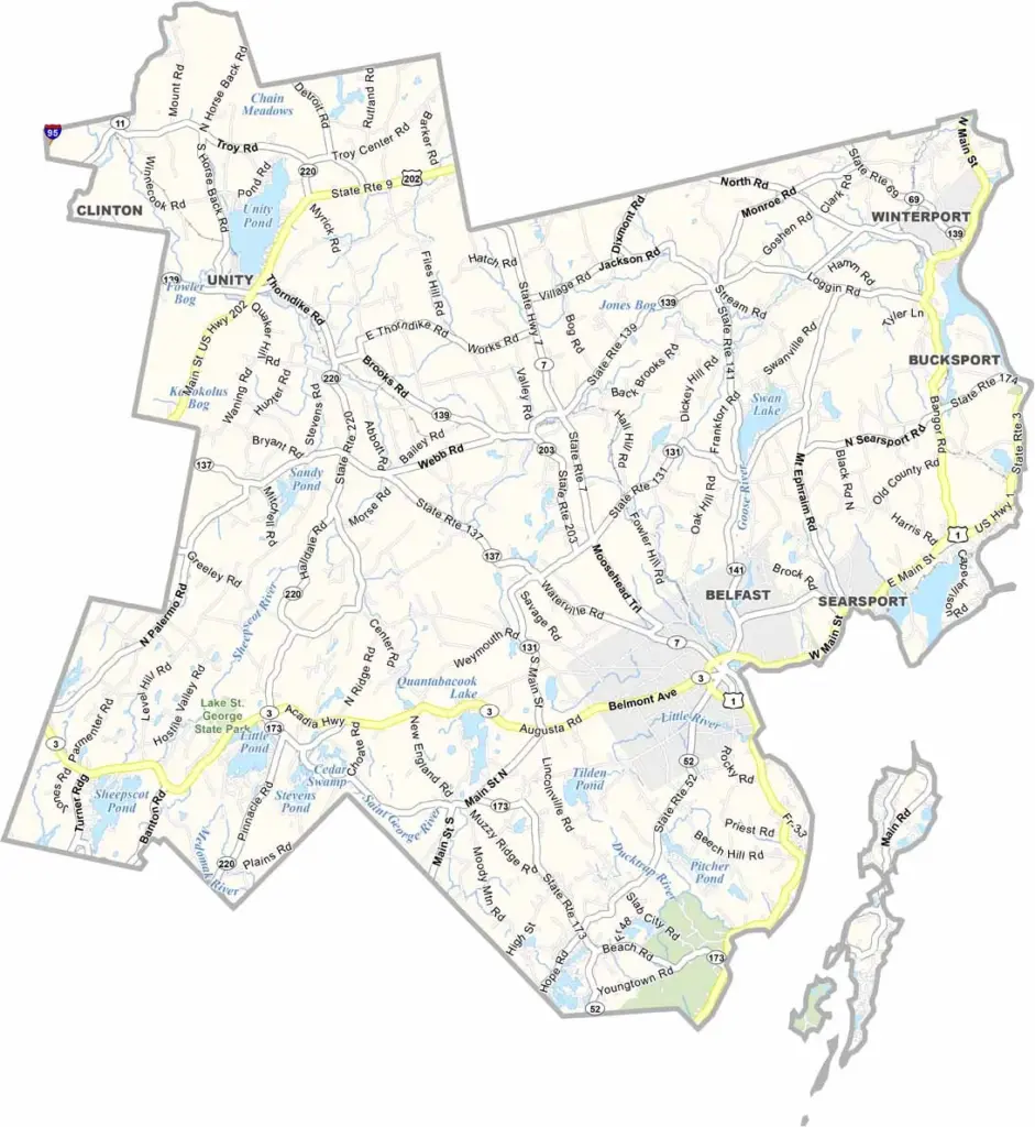
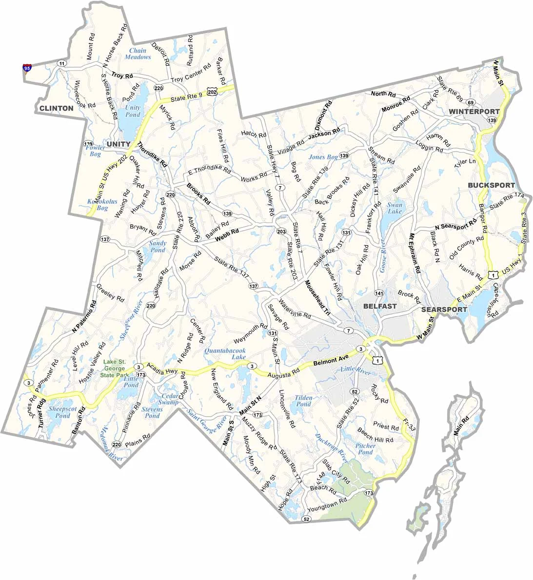
Waldo County sits along the rugged coast of central Maine, stretching inland from Penobscot Bay. This part of New England is home to about 40,000 people spread across rolling hills and rocky shores.
Belfast is the county seat, blending old-school maritime vibes with a newer artsy energy. Lobster boats and sailboats fill the harbors.
Inland, you’ll find quiet towns, family farms, and thick forests that are perfect for hiking or hunting. Like much of rural Maine, Waldo County has its share of postcard-worthy scenery.
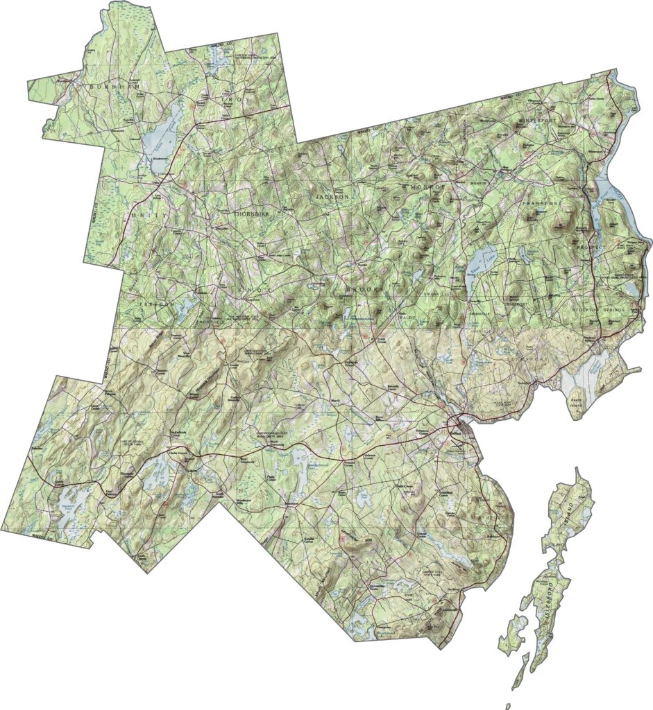
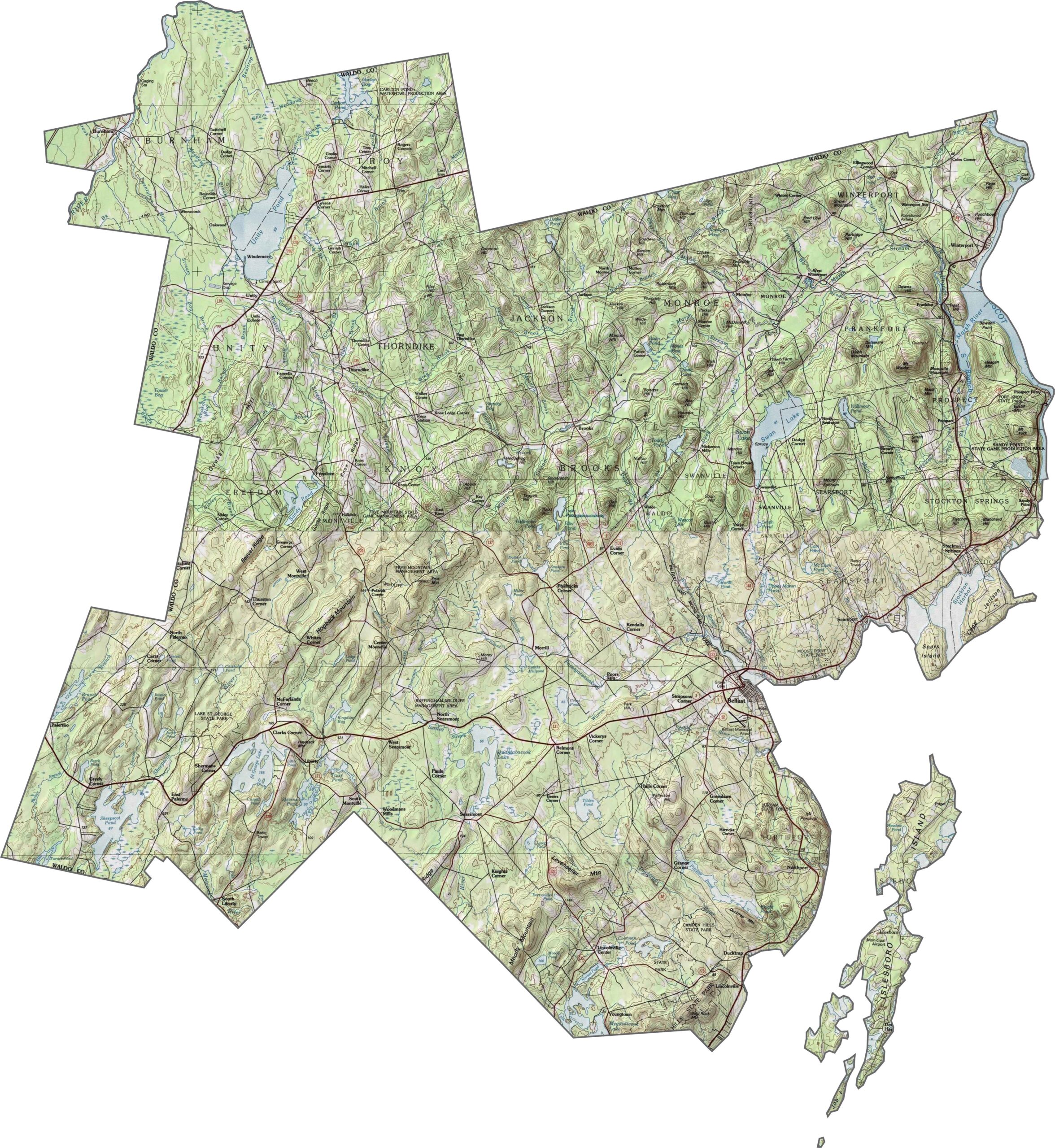
Waldo County is gentle farm country dotted with granite outcrops. Zoom in to explore the subtle elevation changes with our topographic map below.
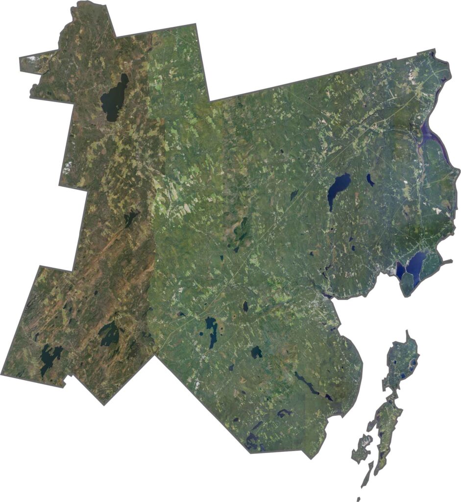
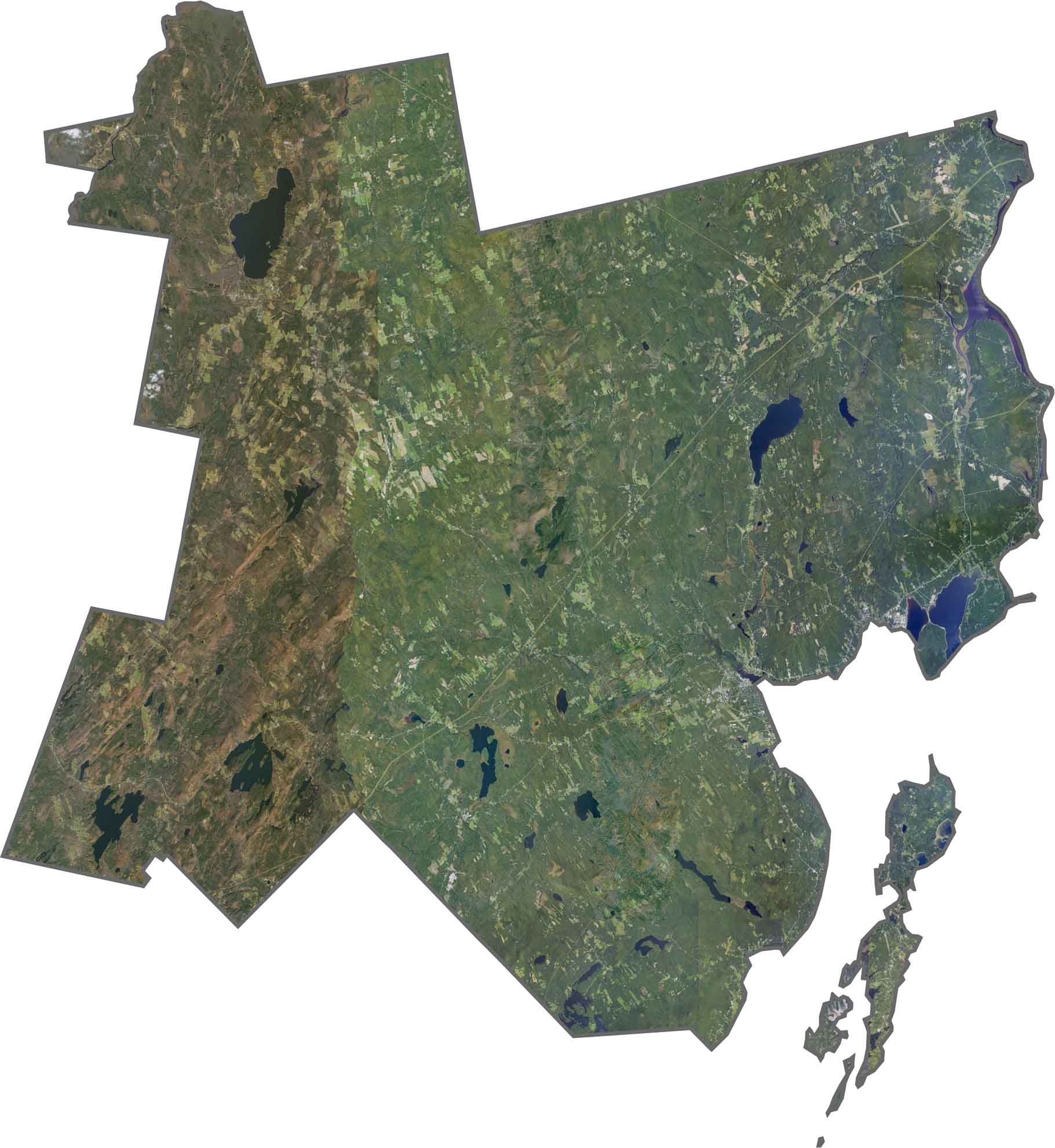
Our Waldo County satellite map highlights its peninsulas, islands, and forests that extend right to the water’s edge.
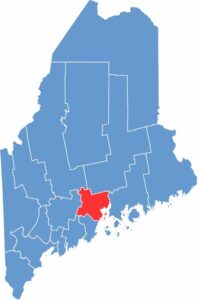
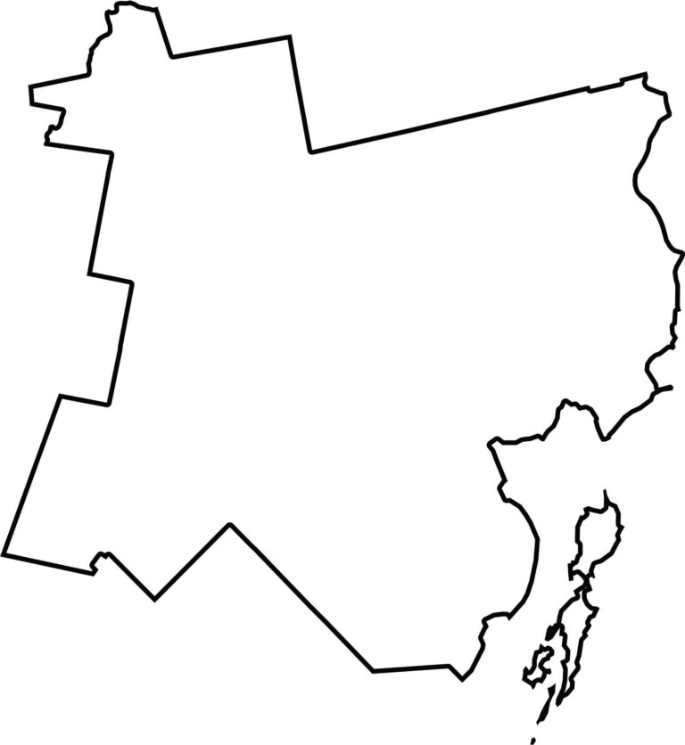
The county has an irregular, somewhat lopsided shape that bulges toward the coast. It borders Penobscot Bay to the east and includes Islesboro Island offshore.
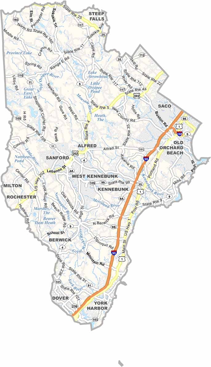
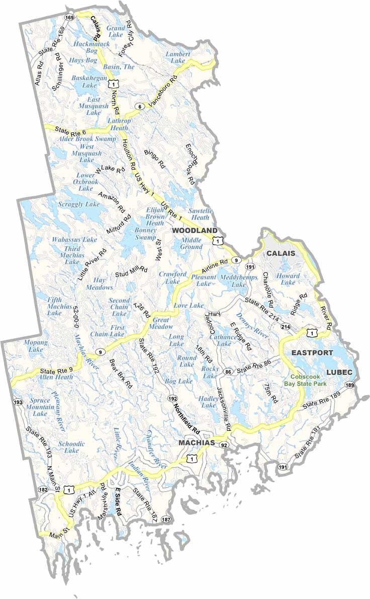
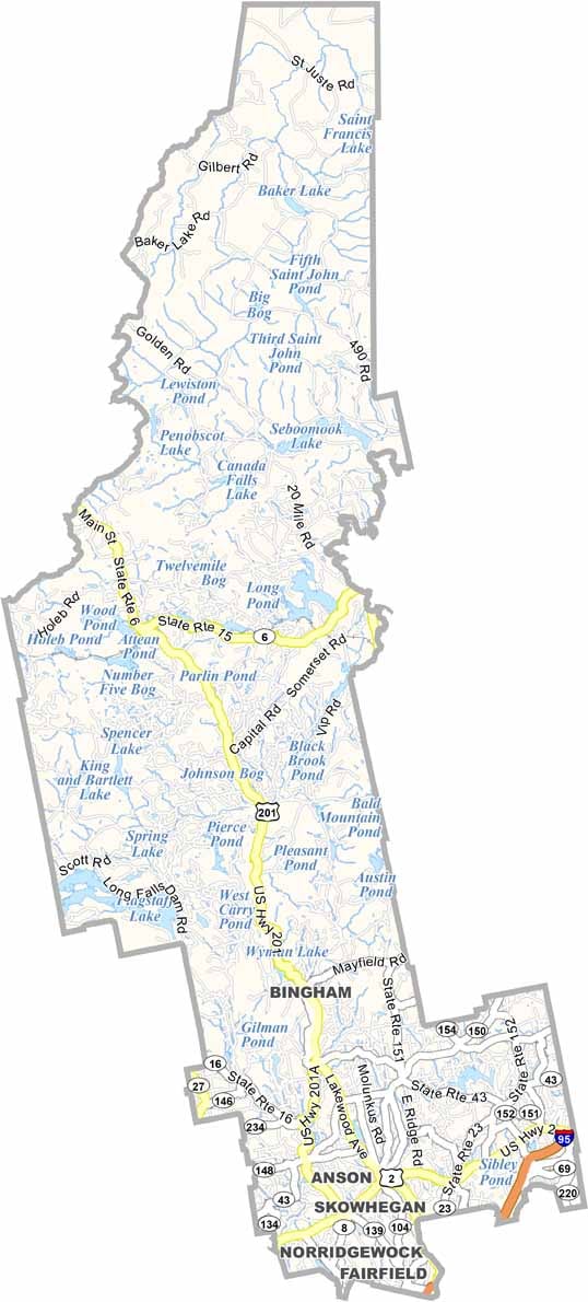


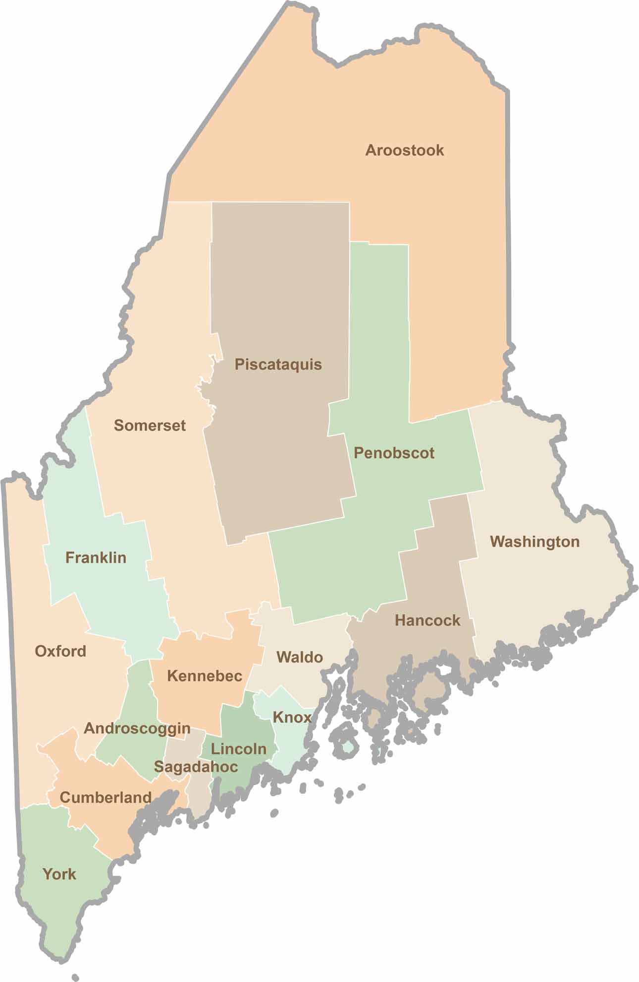
Life moves at the pace of the tides here. One day might be spent hiking forest trails, and the next watching fog roll over quiet harbors. Discover what makes each county special with our Maine county maps.