
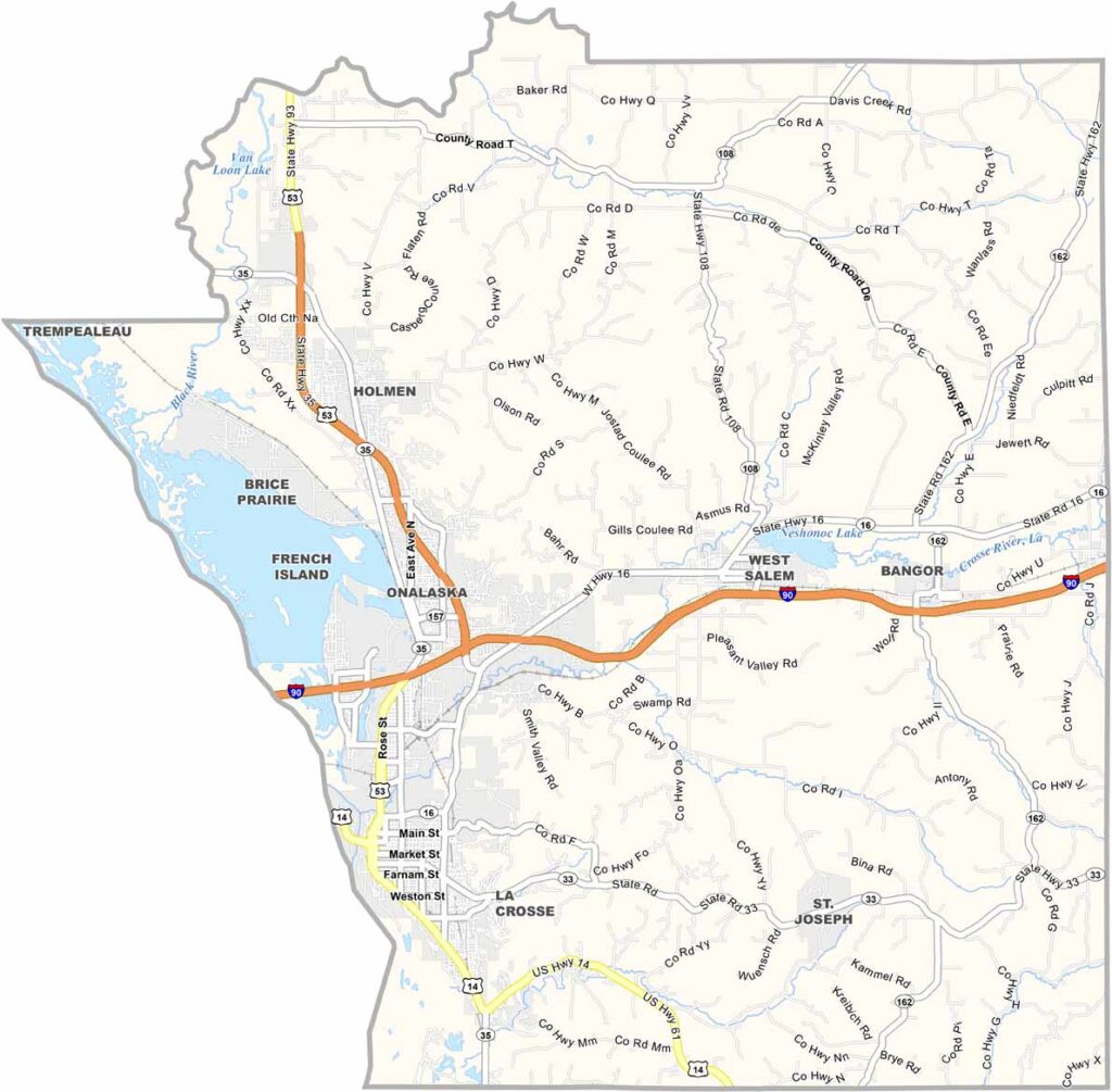
The Driftless Area of western Wisconsin is home to La Crosse County, a stunning region known for its scenic landscapes. Bluffs along the Mississippi River rise dramatically, creating incredible views throughout the area.
La Crosse is the largest city and offers a charming downtown along with three colleges. Outdoor recreation is a major attraction, drawing hikers and bikers to the area. The apple orchards in fall are especially beautiful and offer a memorable seasonal experience.
You’ve got to experience the local beer scene while visiting. Small towns fill the rural parts of La Crosse County, each with its own unique personality and charm. With outdoor activities, seasonal attractions, and lively communities, it’s a place that feels alive in every season.
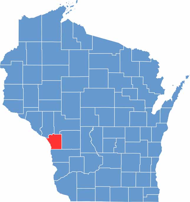
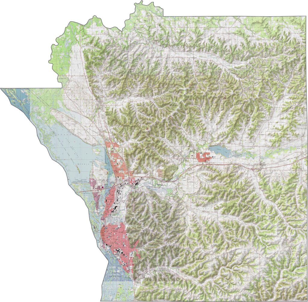
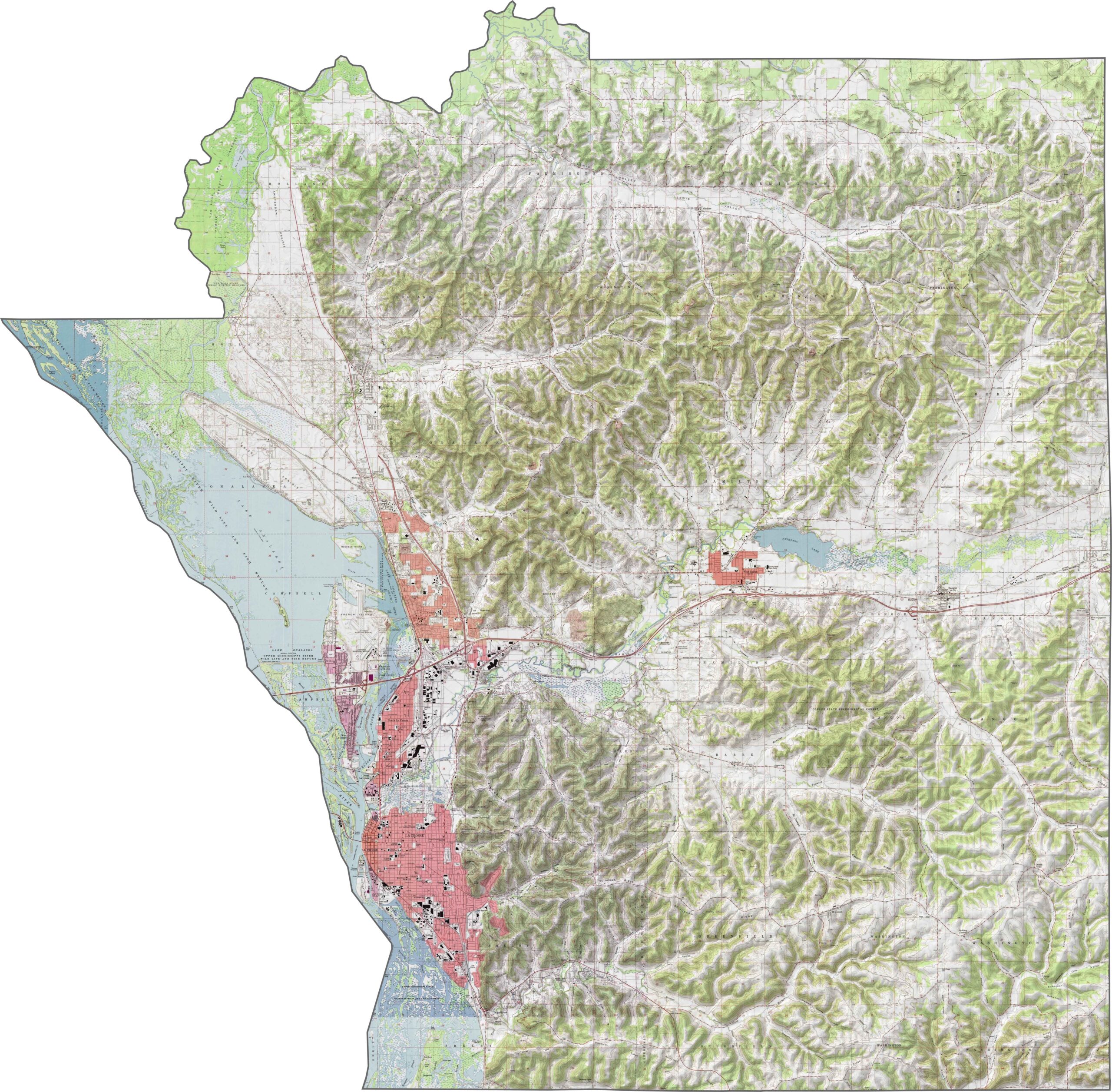
This county has hills—real ones. La Crosse County sits in the Driftless Area, meaning it avoided the last glaciers and retained its rugged terrain. The Mississippi River runs along its western edge, creating a wide floodplain.
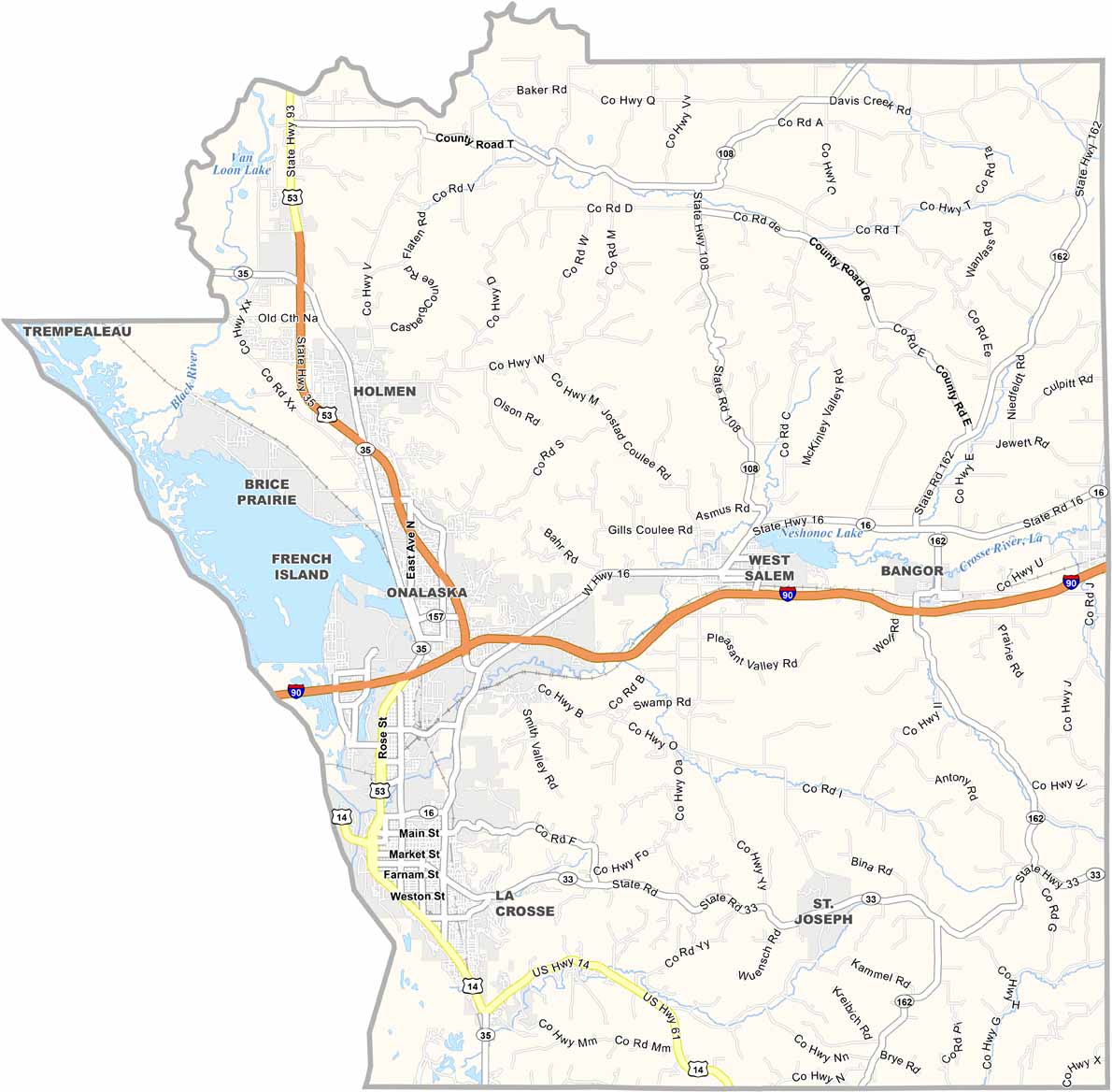
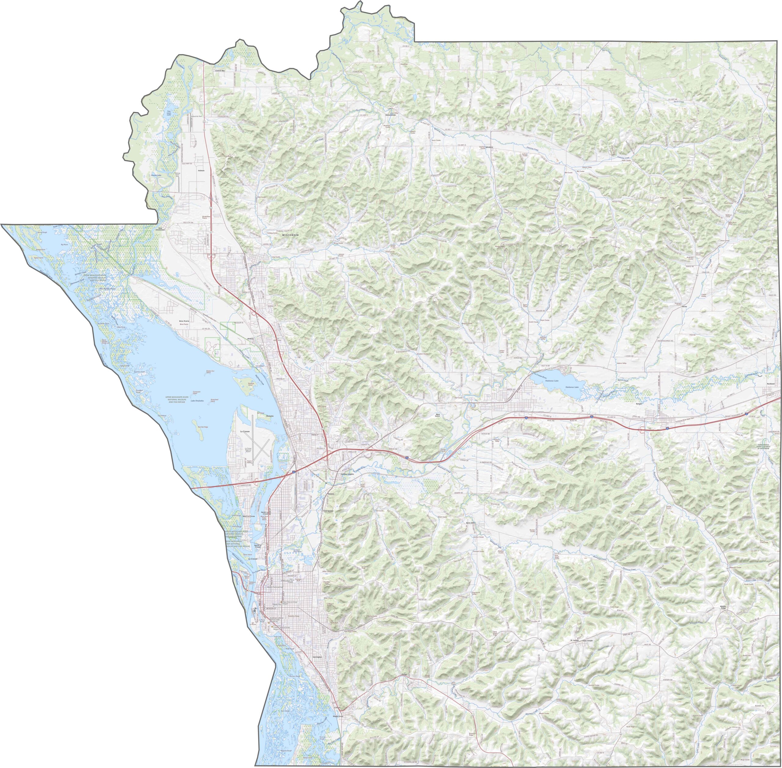
Interstate 90 runs through the middle of the county. While it serves as the primary east-west route, other highways wind through valleys and climb over ridges. You can see how the entire road network fits together using the zoom tool below.
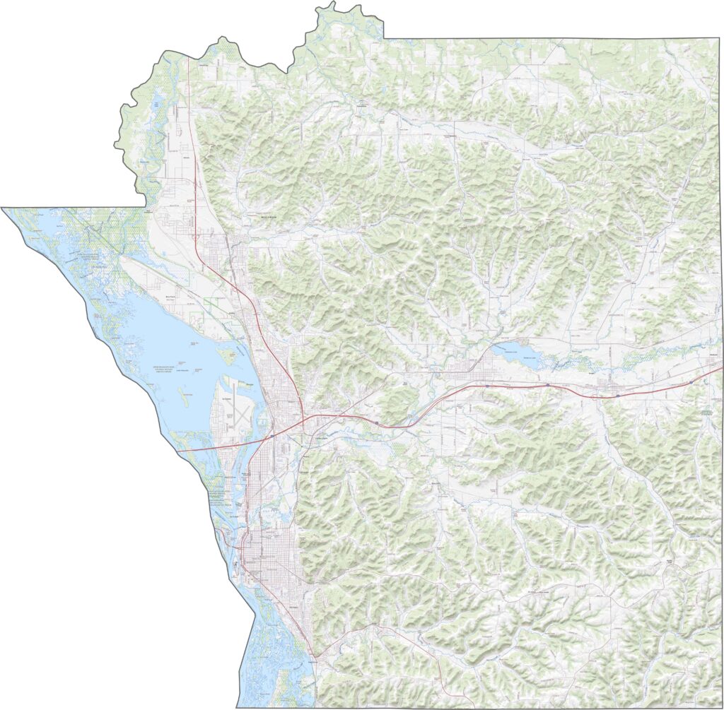
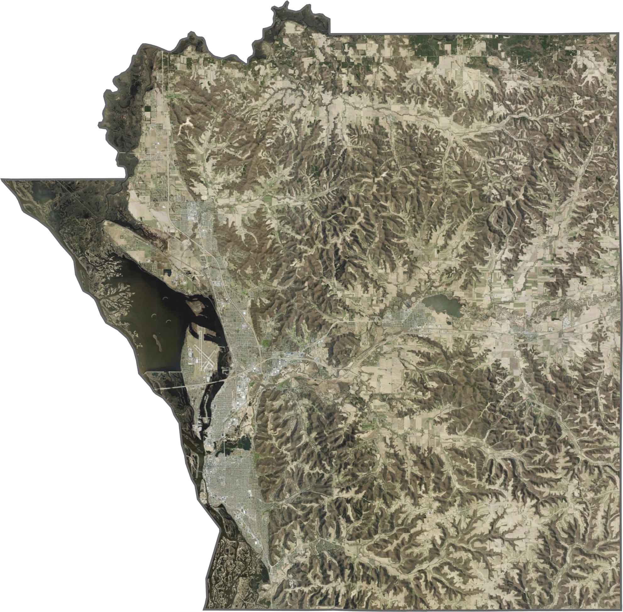
The Mississippi River appears wide and dark, especially where it branches near the county border. Bluffs and wooded ridges create shadowed areas across the landscape. The flatter land around the city of La Crosse appears brighter on the western side of the county.
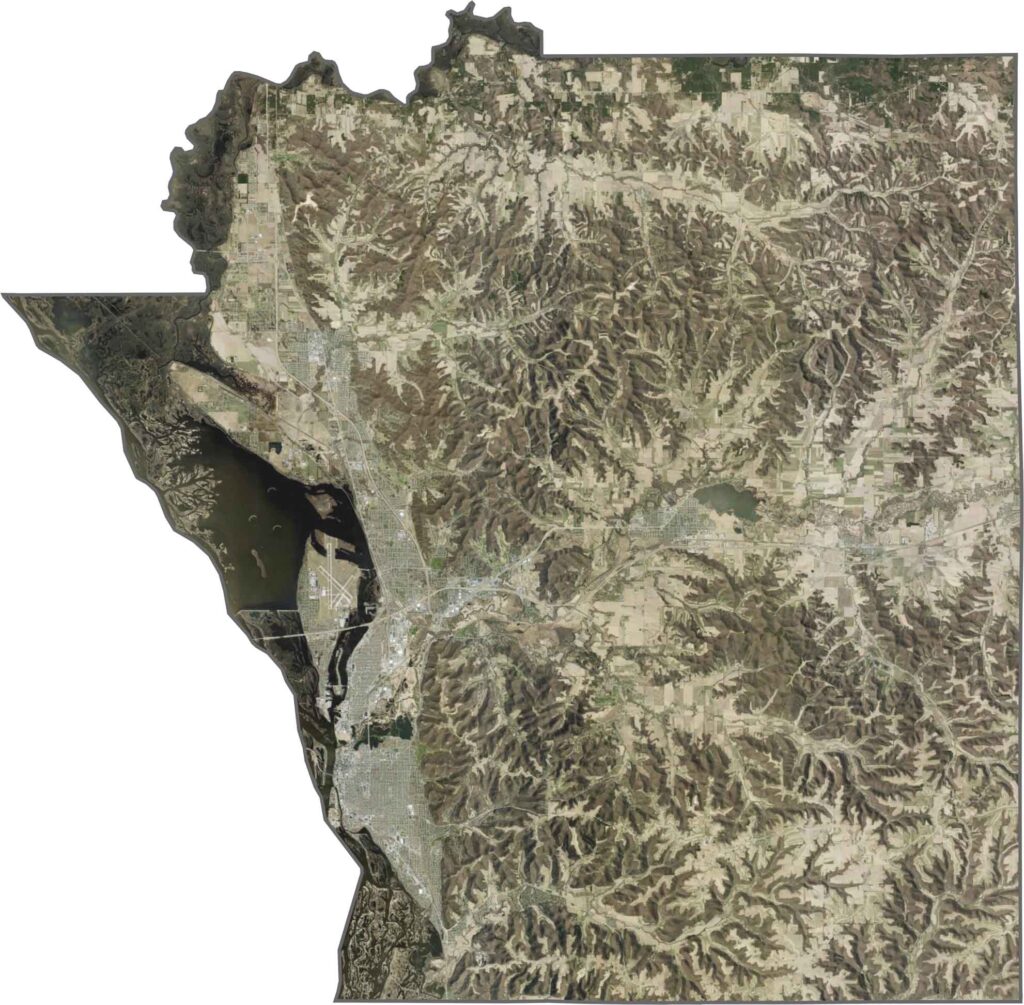
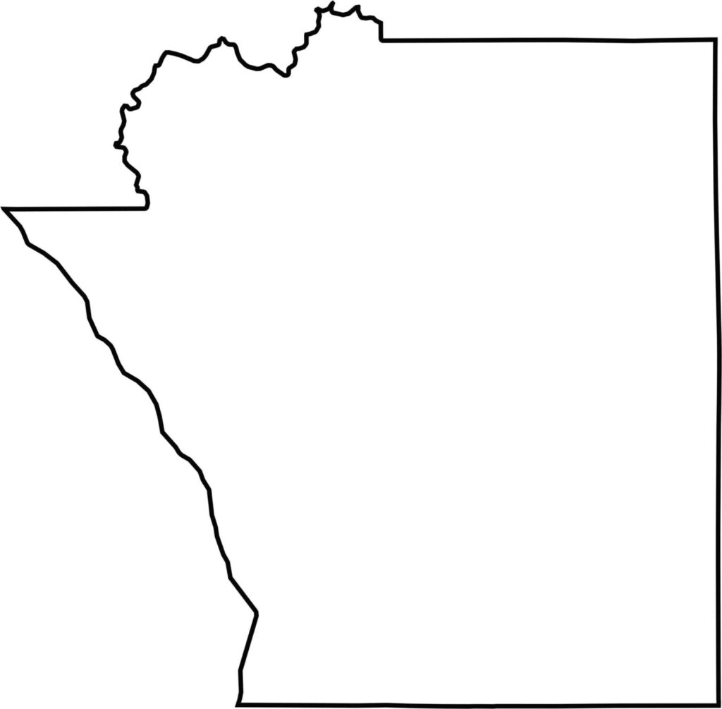
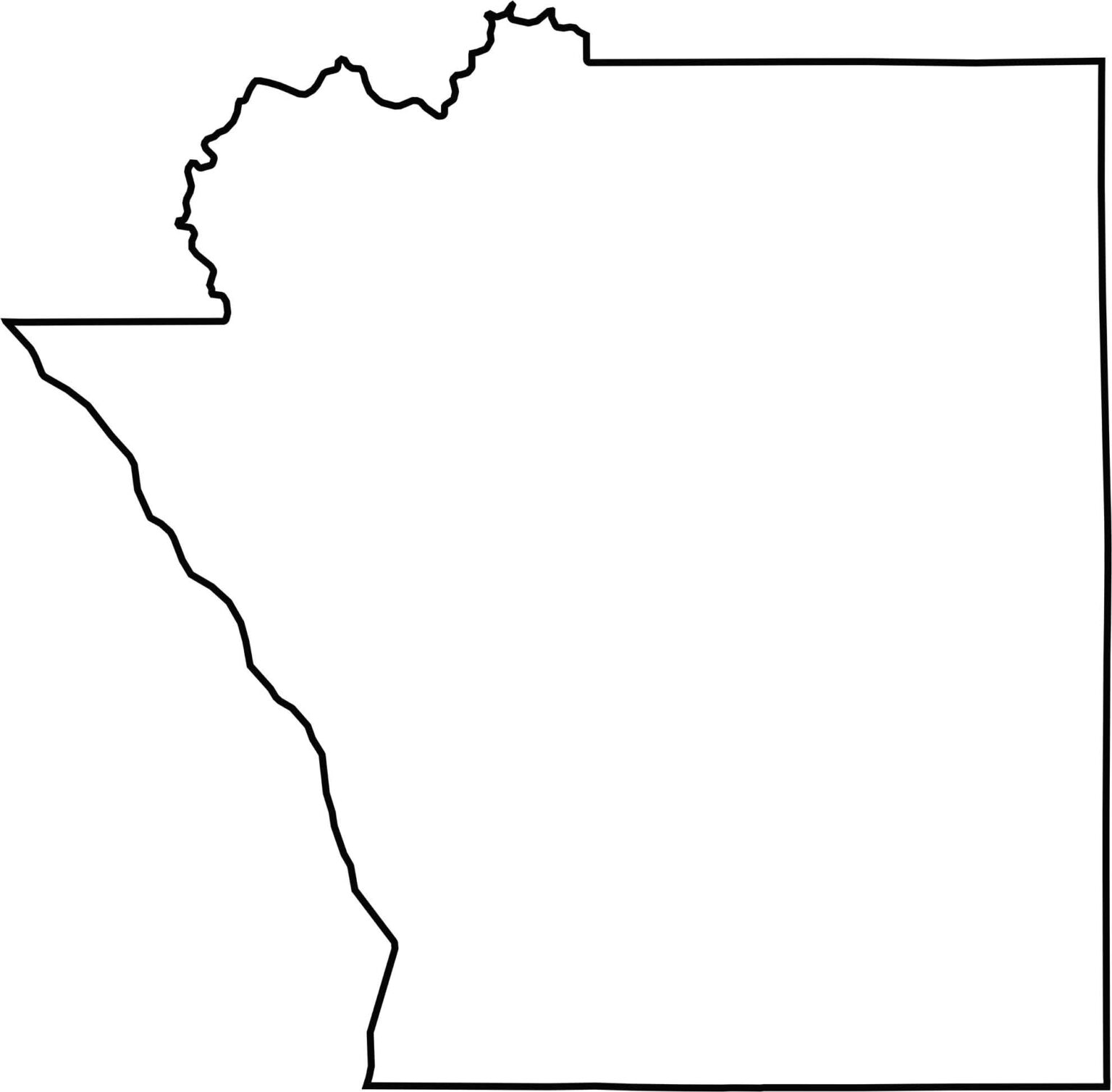
La Crosse County has a rugged western edge shaped by the winding Mississippi River. It borders Minnesota across the river, while the eastern and southern boundaries feature mostly straight edges.

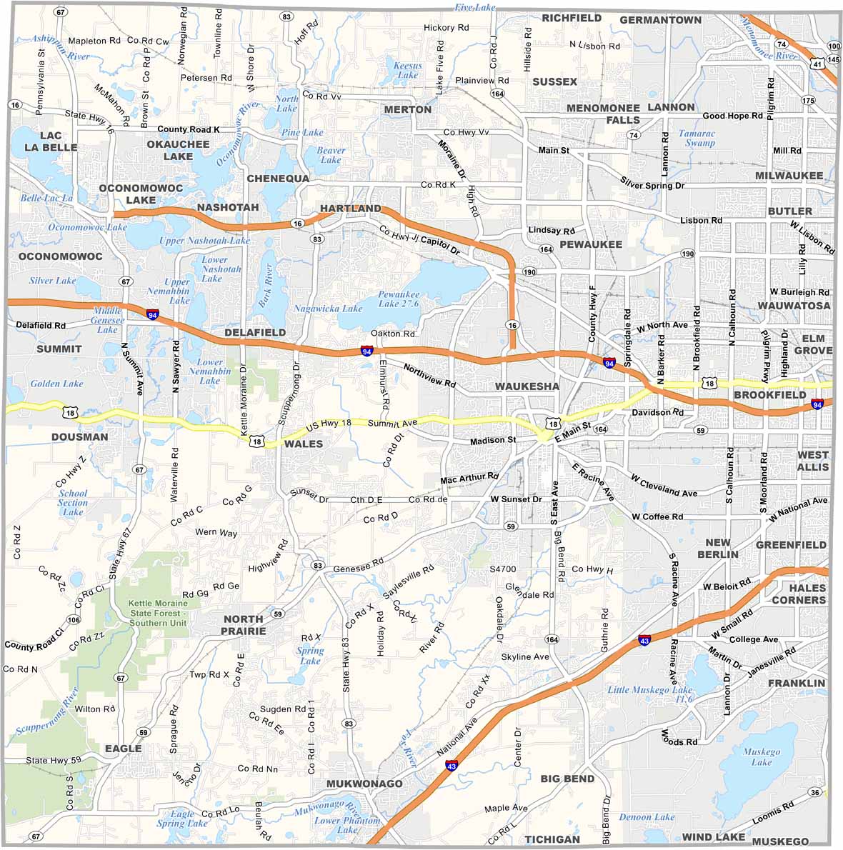


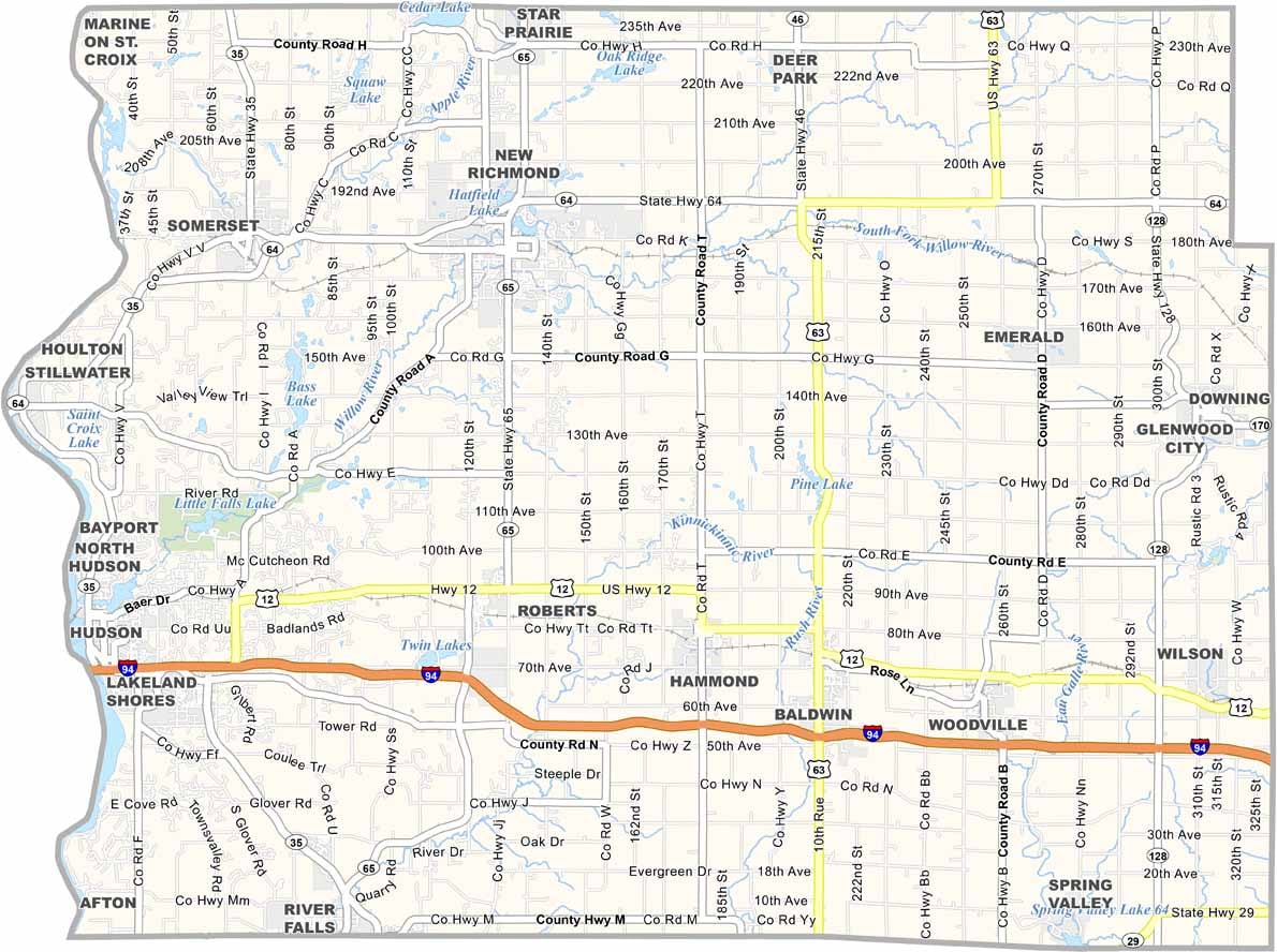

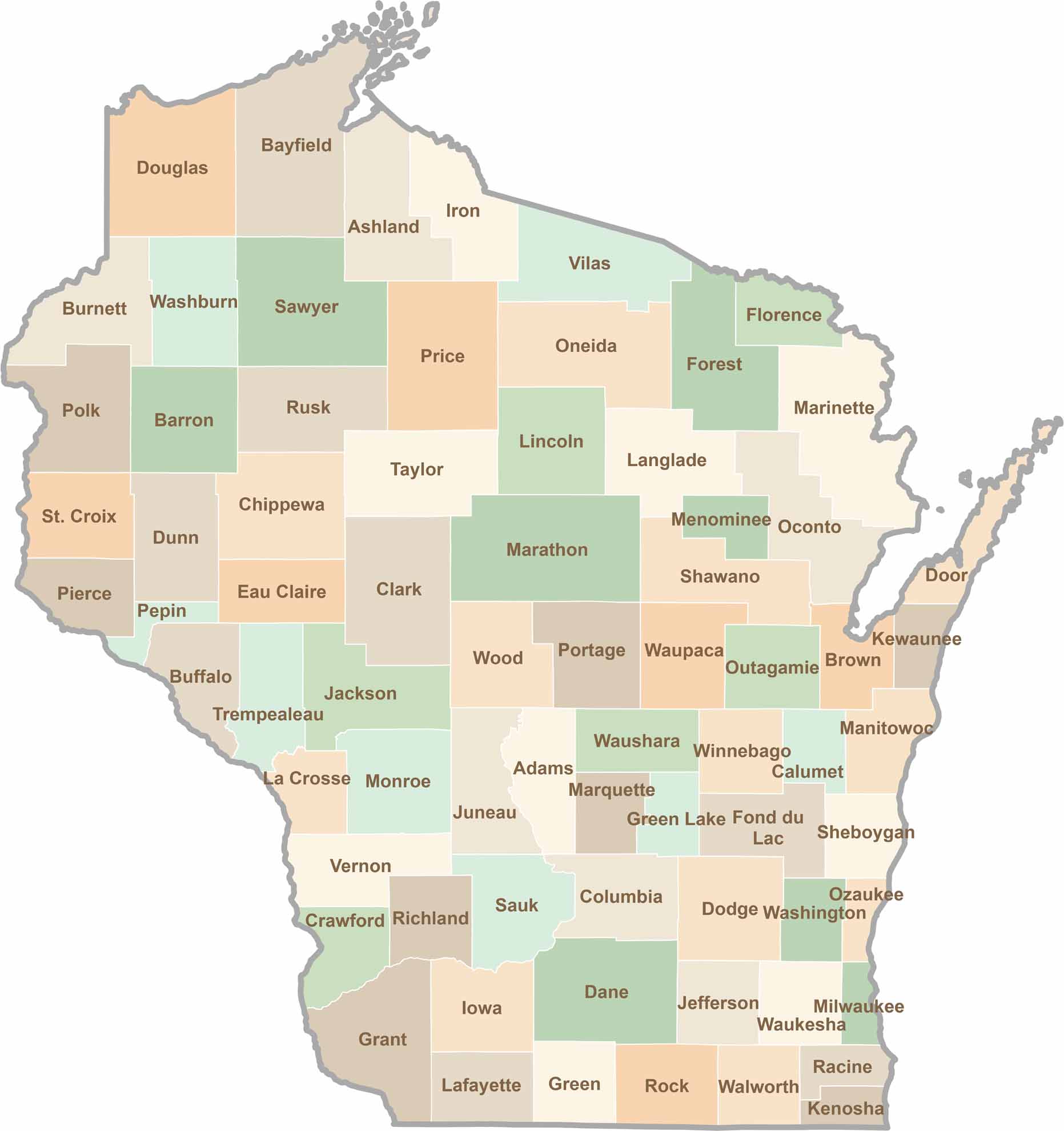
Wisconsin is known for its beer, cheese, and proud traditions, but the state’s 72 counties offer far more than familiar stereotypes. From the scenic shorelines of Lake Michigan and Lake Superior to sprawling dairy farms, dense forests, rolling bluffs, and picturesque river valleys, Wisconsin features an incredible variety of landscapes and communities.Each county has its own unique character, history, and attractions.