
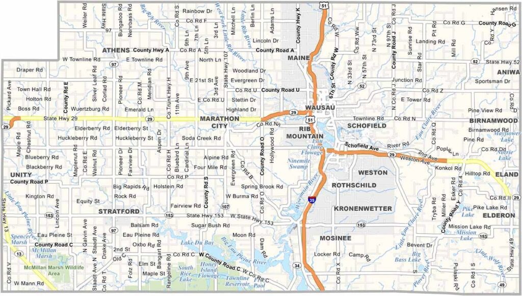
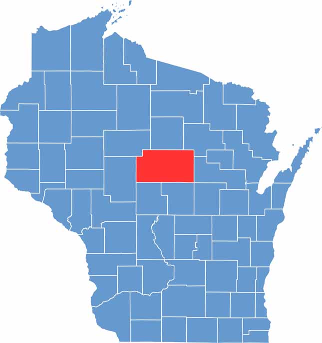
Marathon County sits in the heart of Wisconsin, covering a large portion of the state’s northern half. As Wisconsin’s largest county by land area, it offers plenty of room for forests, farms, communities, and outdoor recreation.
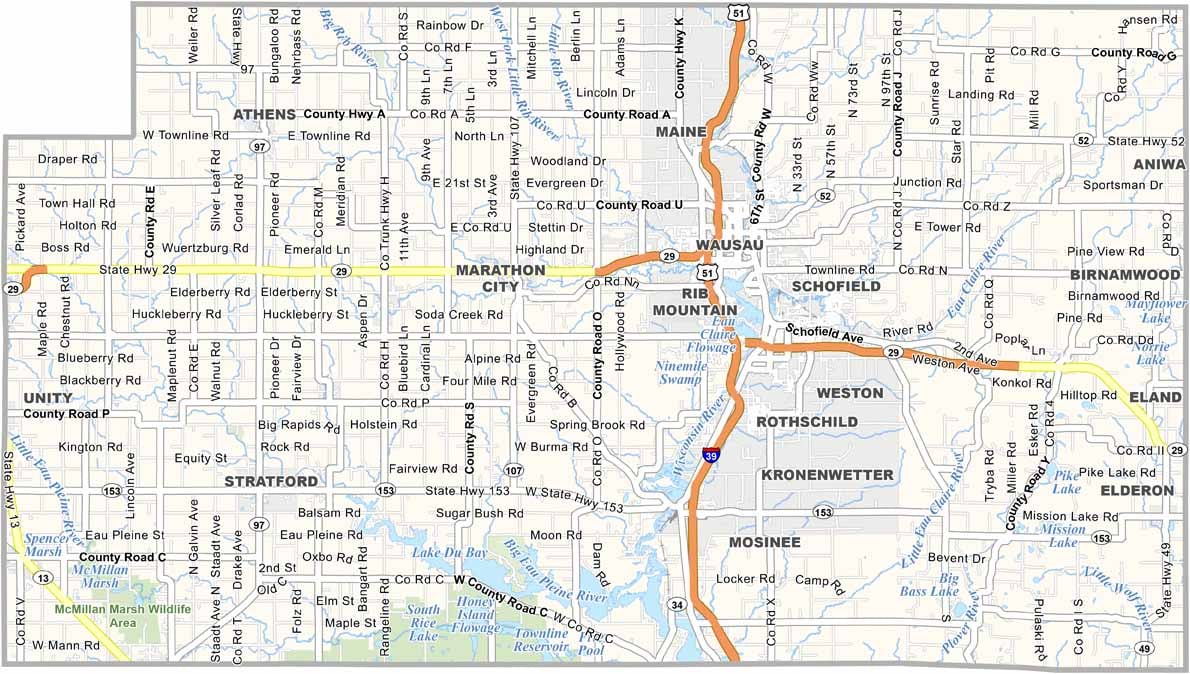
Wausau is the county seat and urban center of the area. However, much of Marathon County has the classic feel of Wisconsin’s Northwoods, with Rib Mountain standing out as a popular destination for skiing, hiking, and other outdoor activities.
Ginseng is an important part of the local agricultural economy, with the county producing a significant share of the nation’s crop. Granite quarries have also shaped the area’s history and can be seen in historic buildings throughout downtown Wausau. With industry, agriculture, and wilderness all in one place, Marathon County offers a unique blend of hardworking communities and natural beauty—pure Wisconsin.
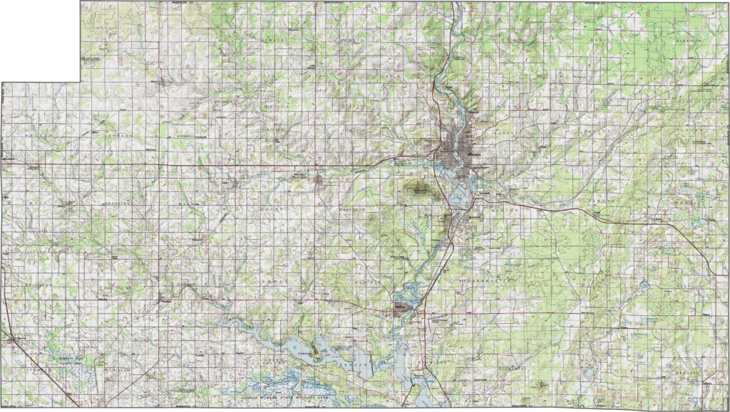
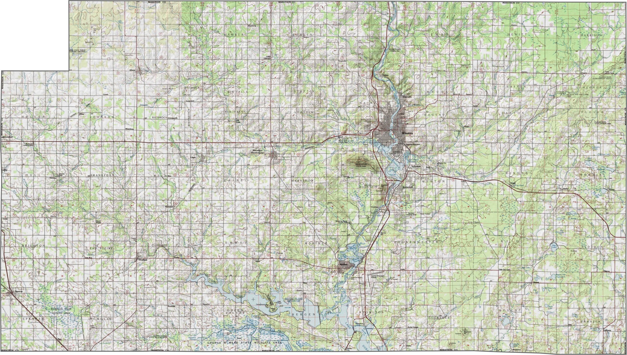
Marathon County sits high in both elevation and location. It is home to Rib Mountain, one of Wisconsin’s tallest natural points. The terrain generally rolls gently, but elevation changes become more noticeable around the Wausau area, where the landscape rises more sharply in certain places.
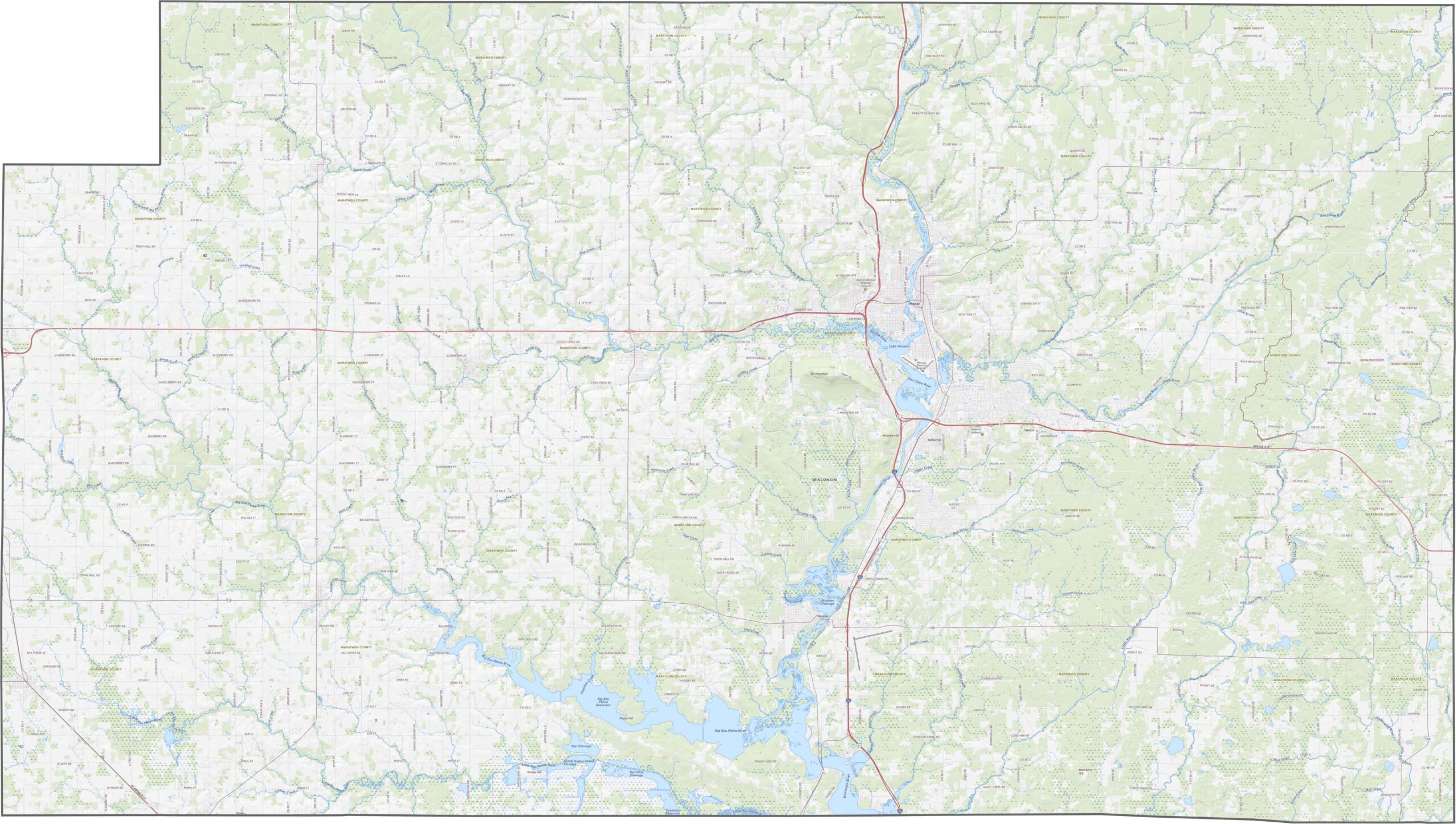
Plenty of highways in Marathon County provide access across the area, but Interstate 39 is the major route, running north-south through the center. While it offers the fastest connection, several state highways branch through surrounding farmland and forests.
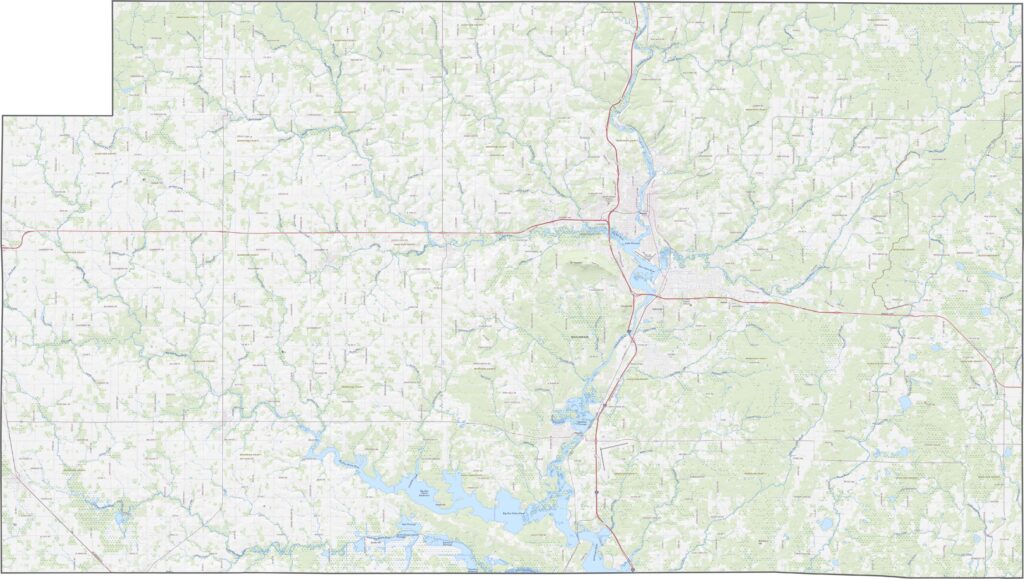
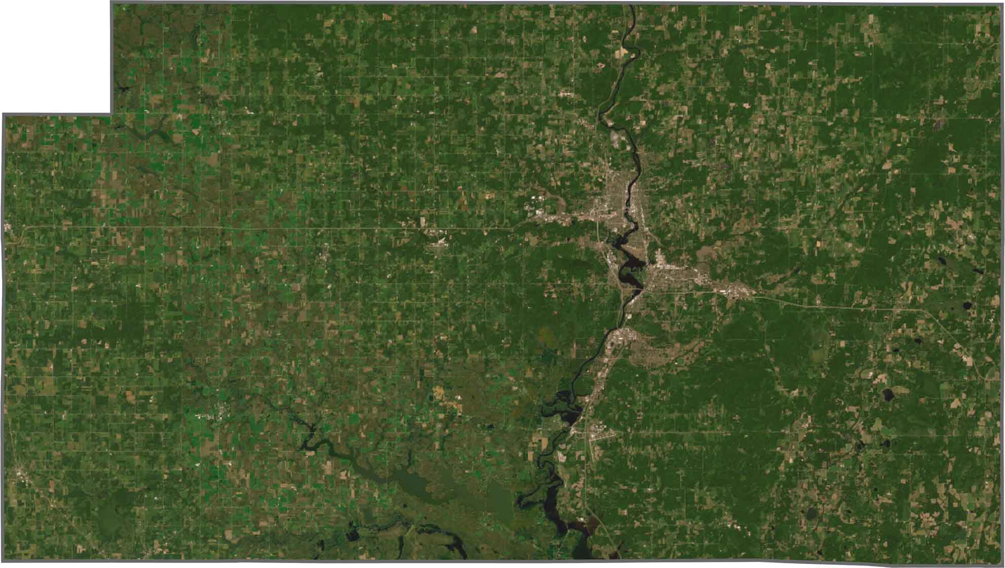
Wausau appears near the center as a dense urban cluster. The Wisconsin River flows through the middle of the county, shown in dark blue. However, much of Marathon County remains rural, with fields, forests, and river corridors covering most of the landscape.
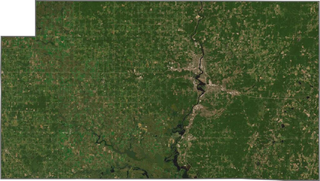
Marathon County is the largest county in Wisconsin by land area. Its boundaries stretch widely in every direction and are mostly defined by straight lines. The county does not border another state, and no major river forms a significant part of its outer boundaries.


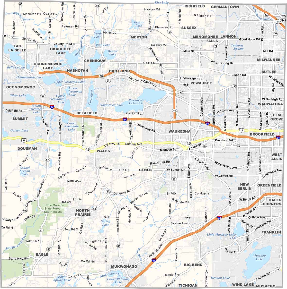


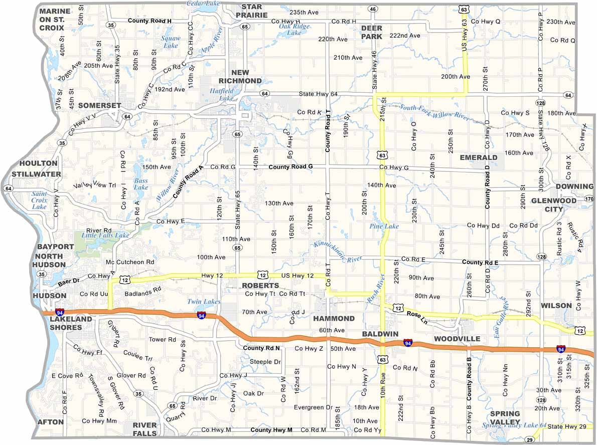


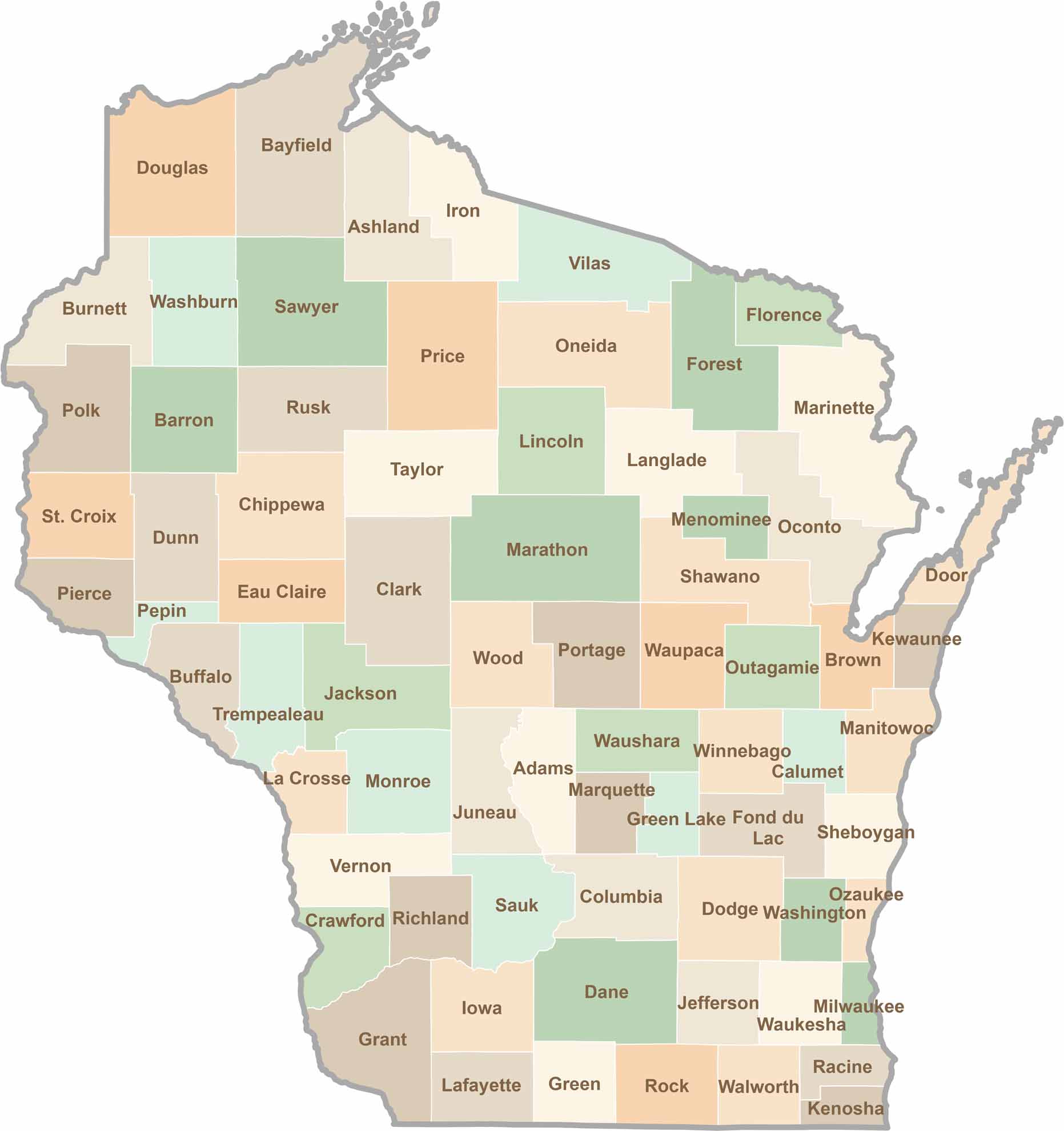
Wisconsin is known for its beer, cheese, and proud traditions, but the state’s 72 counties offer far more than familiar stereotypes. From the scenic shorelines of Lake Michigan and Lake Superior to sprawling dairy farms, dense forests, rolling bluffs, and picturesque river valleys, Wisconsin features an incredible variety of landscapes and communities.Each county has its own unique character, history, and attractions.