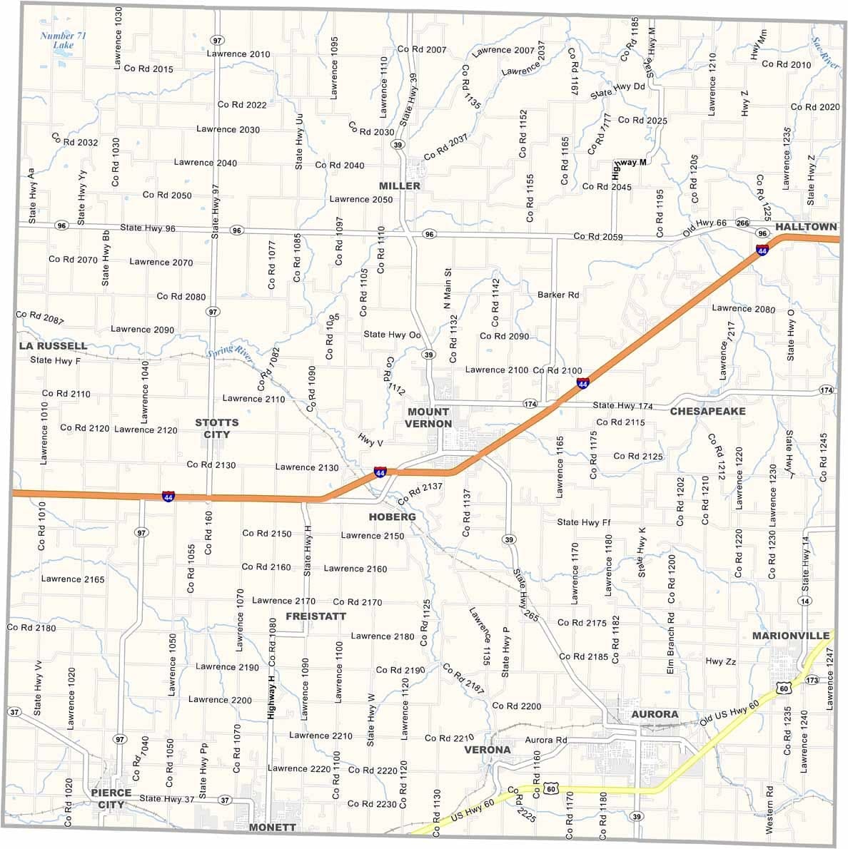
Lawrence County, Missouri

Lawrence County is located in southwestern Missouri and is known for its rural landscapes and agricultural heritage. Home to just over 38,000 residents, it offers a blend of small-town living and open countryside.

Dairy farming and beef cattle production play important roles in the local economy, though agriculture is only part of the county’s appeal. Outdoor recreation is also popular, with places like Monett City Park providing fishing lakes and scenic green spaces.

The county lies near the Oklahoma border, though it does not directly border the state. Mount Vernon, located near the county’s center, serves as the county seat and a hub for local government and community activities.
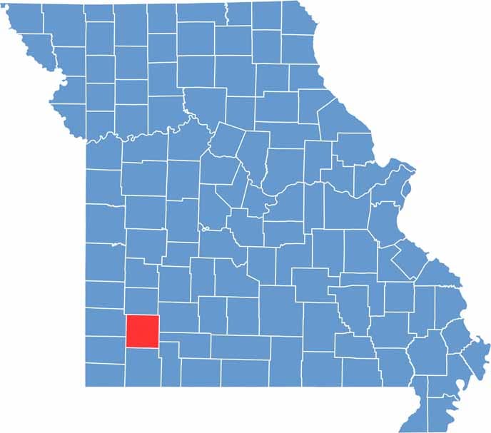

Lawrence County location map showing the county's position within Missouri.
Category Details
County Name Lawrence County
County Seat Mount Vernon
Cities, Towns, and Communities Aurora, Marionville, Mount Vernon, Verona, Miller, Freistatt, Stotts City
Interstates and Highways I-44, US 60, MO 39, MO 96
Population Approximately 38,000
FIPS Code 29-109
Total Area (Land and Water) 613 square miles (Land: 612 sq mi, Water: 1 sq mi)
Time Zone Central Time Zone (CT)
State Missouri
Coordinates 37.1059° N, 93.8241° W
Etymology Named after James Lawrence, an American naval officer during the War of 1812
Major Landmarks Lawrence County Courthouse, Wilson’s Creek National Battlefield, Ozark Prairie
Adjacent Counties (and Direction) Dade County (North), Greene County (Northeast), Christian County (Southeast), Stone County (Southeast), Barry County (South), Newton County (Southwest), Jasper County (West)
Scroll to Top