
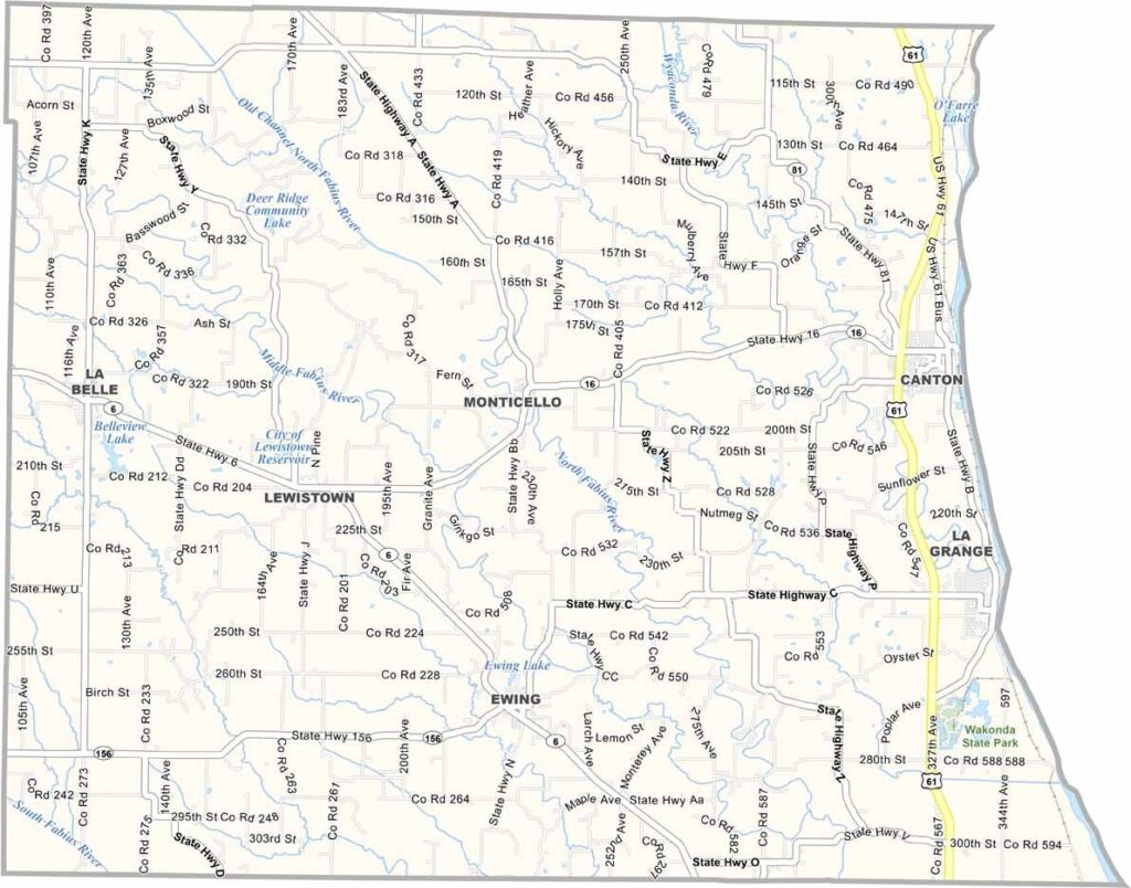
Lewis County, Missouri

Tucked into Missouri’s northeast corner, Lewis County sits along the Mississippi River across from Illinois. It’s a quiet, lightly populated county with just over 10,000 residents.

Its small size is balanced by deep history and scenic river-country charm. The county seat, Monticello, may have a grand name, but it’s a tiny community of only about a hundred people—definitely not a bustling city.

Agriculture plays a major role in local life, with farmland stretching across the county. Outdoor enthusiasts enjoy fishing and hunting in the area, and history fans appreciate that the Lewis and Clark Expedition traveled through here in 1804.
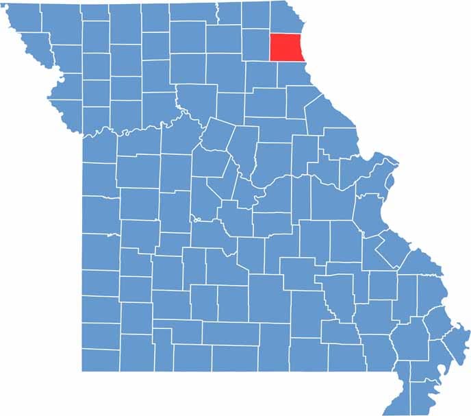

Lewis County location map showing the county's position within Missouri.
Category Details
County Name Lewis County
County Seat Monticello
Cities, Towns, and Communities Canton, La Belle, Lewistown, Monticello, Ewing, Durham
Interstates and Highways US 61, MO 6, MO 16, MO 81
Population Approximately 9,500
FIPS Code 29-111
Total Area (Land and Water) 512 square miles (Land: 505 sq mi, Water: 7 sq mi)
Time Zone Central Time Zone (CT)
State Missouri
Coordinates 40.0995° N, 91.7013° W
Etymology Named after Meriwether Lewis, an explorer known for the Lewis and Clark Expedition
Major Landmarks Wakonda State Park, Ballard Nature Center, LaBelle Lake, Canton Area Arts Council
Adjacent Counties (and Direction) Clark County (North), Hancock County, Illinois (Northeast), Adams County, Illinois (Southeast), Marion County (South), Shelby County (Southwest), Knox County (West)
Scroll to Top


