
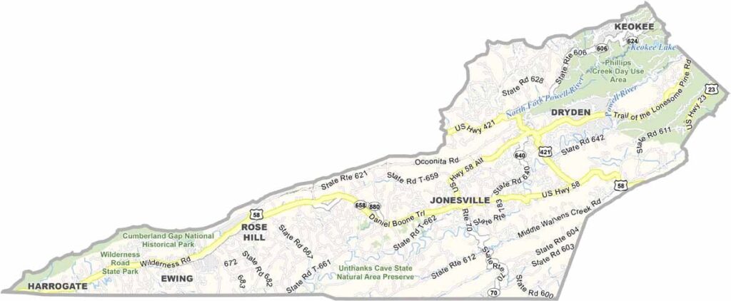
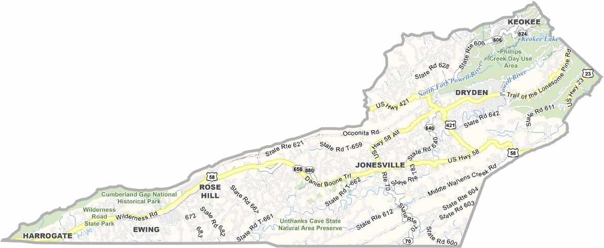
Lee County, Virginia

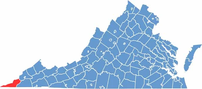
Lee County occupies Virginia’s westernmost tip, tucked between Kentucky and Tennessee in the rugged Appalachian Mountains. The landscape is a mix of rolling hills, steep valleys, and dramatic mountain ridges that give the county its distinctive character.

The historic Cumberland Gap passes through the area and played an important role in westward expansion. Daniel Boone famously traveled through the region, and today the area attracts hikers, history enthusiasts, and nature lovers eager to explore its scenic trails and mountain landscapes.

Coal mining has also played a major role in Lee County’s history, leaving a lasting mark on local communities and traditions. Despite facing economic challenges over the years, residents remain resilient, hardworking, and proud of their heritage.
CategoryDetails
County NameLee County
County SeatJonesville
PopulationApproximately 23,000
Cities, Towns, and CommunitiesJonesville, Pennington Gap, Ewing, St. Charles, Dryden
Interstates and HighwaysUS-58, US-421, VA-70
FIPS Code51-105
Total Area (Land and Water)437 sq mi (Land: 436 sq mi; Water: 1 sq mi)
Adjacent Counties (and Direction) Wise County (Northeast), Scott County (East), Hancock County, Tennessee (South), Claiborne County, Tennessee (Southwest), Bell County, Kentucky (West), Harlan County, Kentucky (Northwest)
Time ZoneEastern Time Zone (ET)
StateVirginia
Coordinates36.7074° N, 83.1277° W
EtymologyNamed after Horse Harry Lee, Revolutionary War general and governor of Virginia
Major LandmarksCumberland Gap National Historical Park, Wilderness Road State Park, Stone Face Rock
Scroll to Top