
Historic architecture is found throughout downtown Lexington, with many buildings dating from the 18th and 19th centuries. The city also has strong connections to Civil War history and is home to the burial site of Robert E. Lee.
The city is home to Washington and Lee University and the Virginia Military Institute, two respected institutions that have played a major role in shaping Lexington’s educational and cultural identity. Their presence gives the city a lively academic atmosphere.
Historic architecture is found throughout downtown Lexington, with many buildings dating from the 18th and 19th centuries. The city also has strong connections to Civil War history and is home to the burial site of Robert E. Lee.
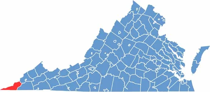
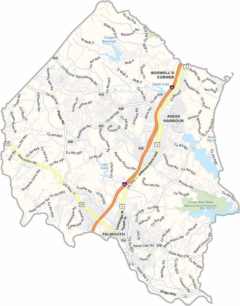
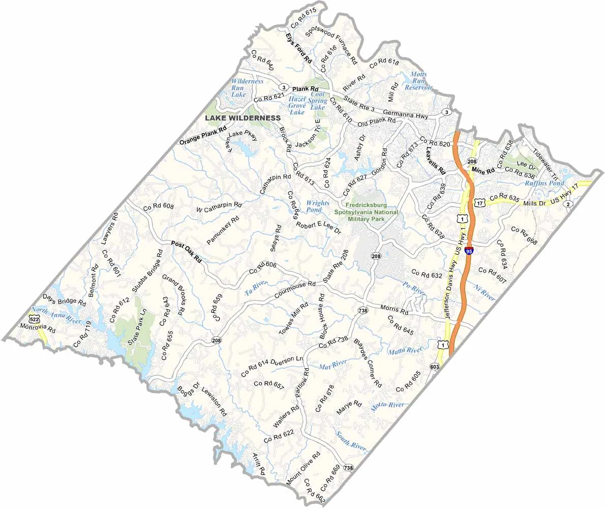
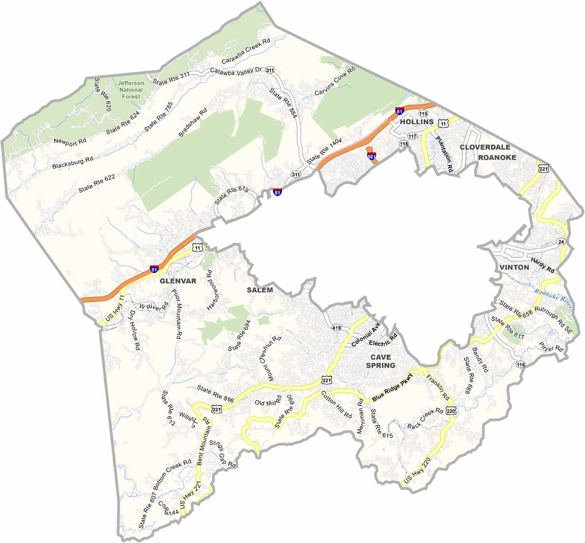
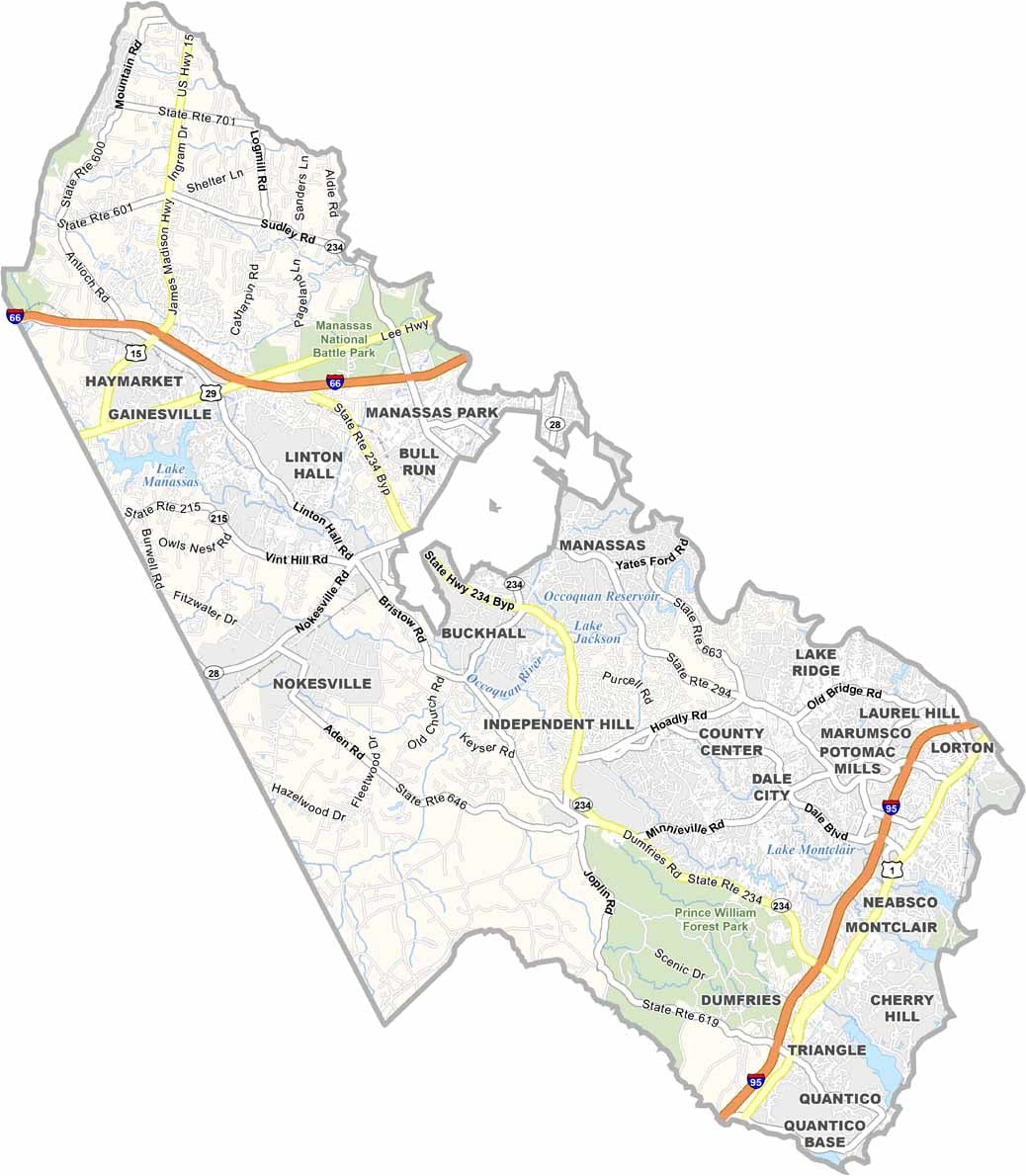
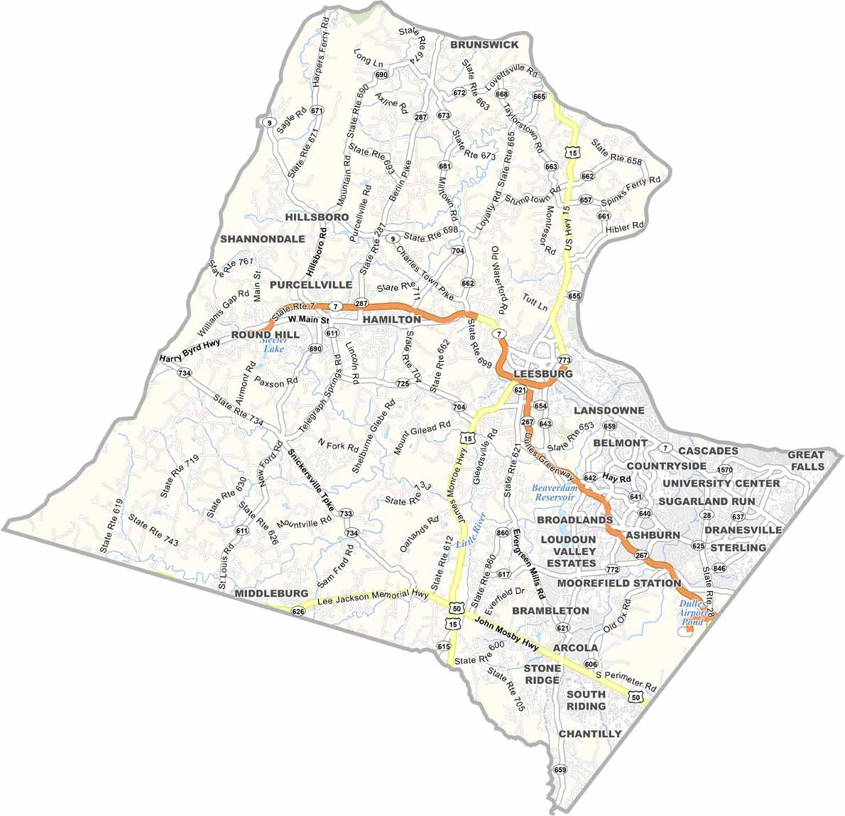
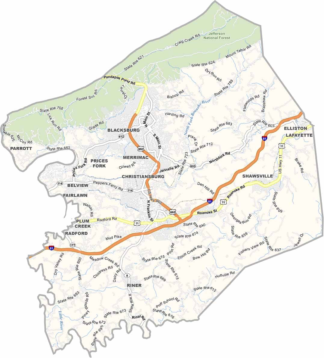
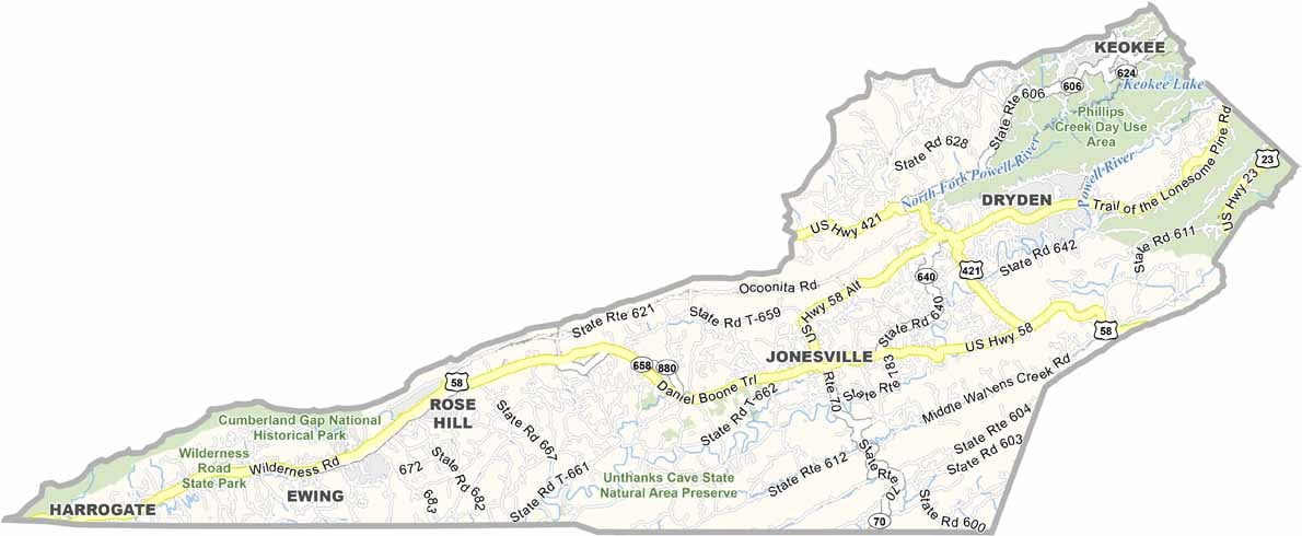
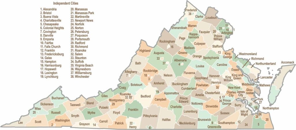
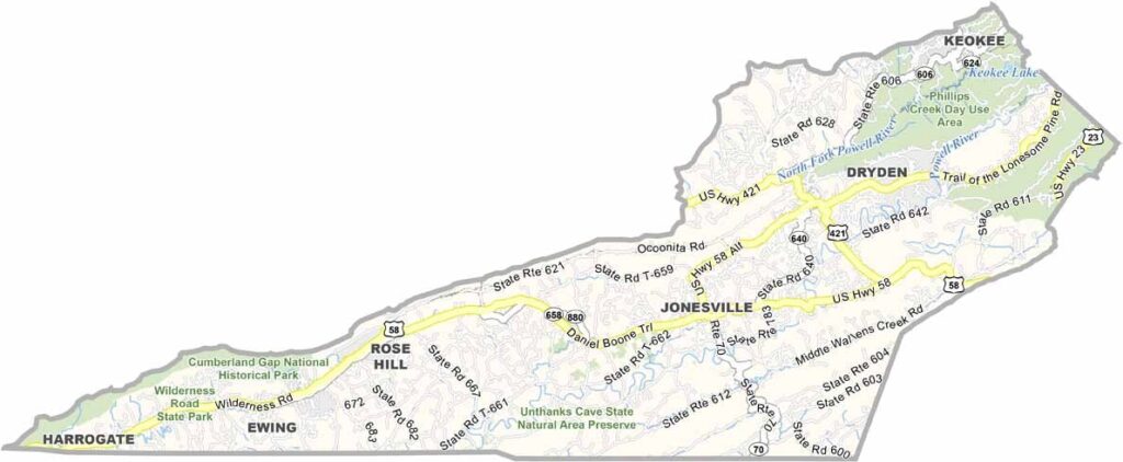
Virginia’s 95 counties bring together old-school roots, winding mountain roads, and Civil War history. One county is known for peanuts, another for presidents. Some feel distinctly rural, while others sit closer to the action around the nation’s capital.