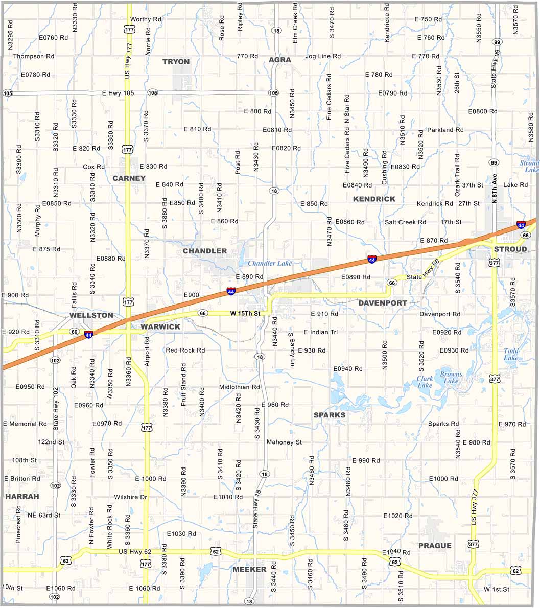
Lincoln County Map, Oklahoma

Lincoln County, Oklahoma

Lincoln County sits in central Oklahoma, just east of Oklahoma City. The landscape combines prairies and forests, with I-44 running through the county.

The county is named after Abraham Lincoln, obviously. There’s plenty of history here, with Route 66 running right through the area.

Farming and oil are both major parts of the local economy. The people are friendly but tend to keep to themselves. Life is quiet here, and that’s how folks like it. Chandler is the heart of Lincoln County and serves as the county seat.
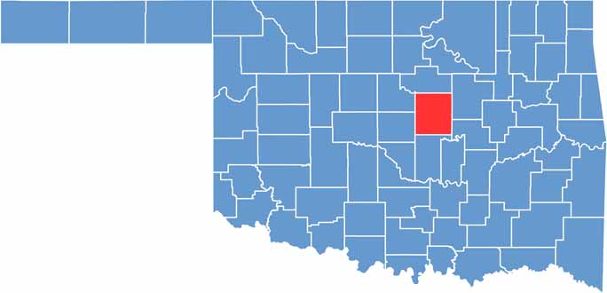

Location map of Lincoln County, Oklahoma
CategoryDetails
County NameLincoln County
County SeatChandler
EtymologyNamed after President Abraham Lincoln
Cities, Towns, and CommunitiesChandler, Stroud, Prague, Meeker, Wellston, Davenport, Carney, Agra
Interstates and HighwaysInterstate 44, U.S. Highway 66 (Historic Route 66), State Highway 18, State Highway 99
FIPS Code40-081
Total Area (Land and Water)966 square miles (952 sq mi land, 14 sq mi water)
Adjacent Counties (and Direction)Payne County (North), Creek County (Northeast), Okfuskee County (Southeast), Pottawatomie County (South), Oklahoma County (Southwest), Logan County (Northwest)
Time ZoneCentral Time Zone (CST)
StateOklahoma
Coordinates35°43’N, 96°52’W
Major LandmarksRoute 66 Interpretive Center, Bell Cow Lake, Lincoln County Museum of Pioneer History
PopulationApproximately 34,000
Scroll to Top