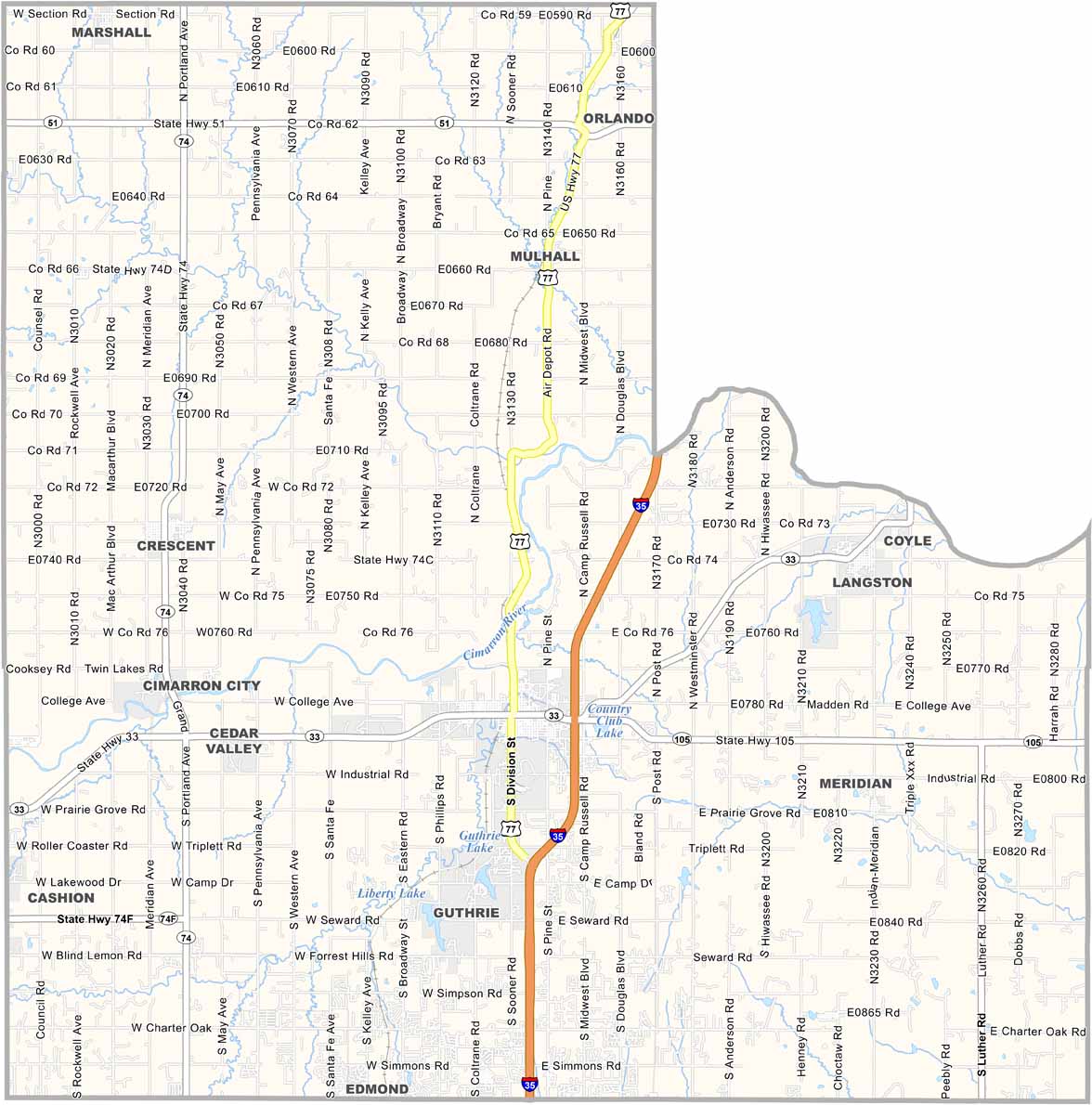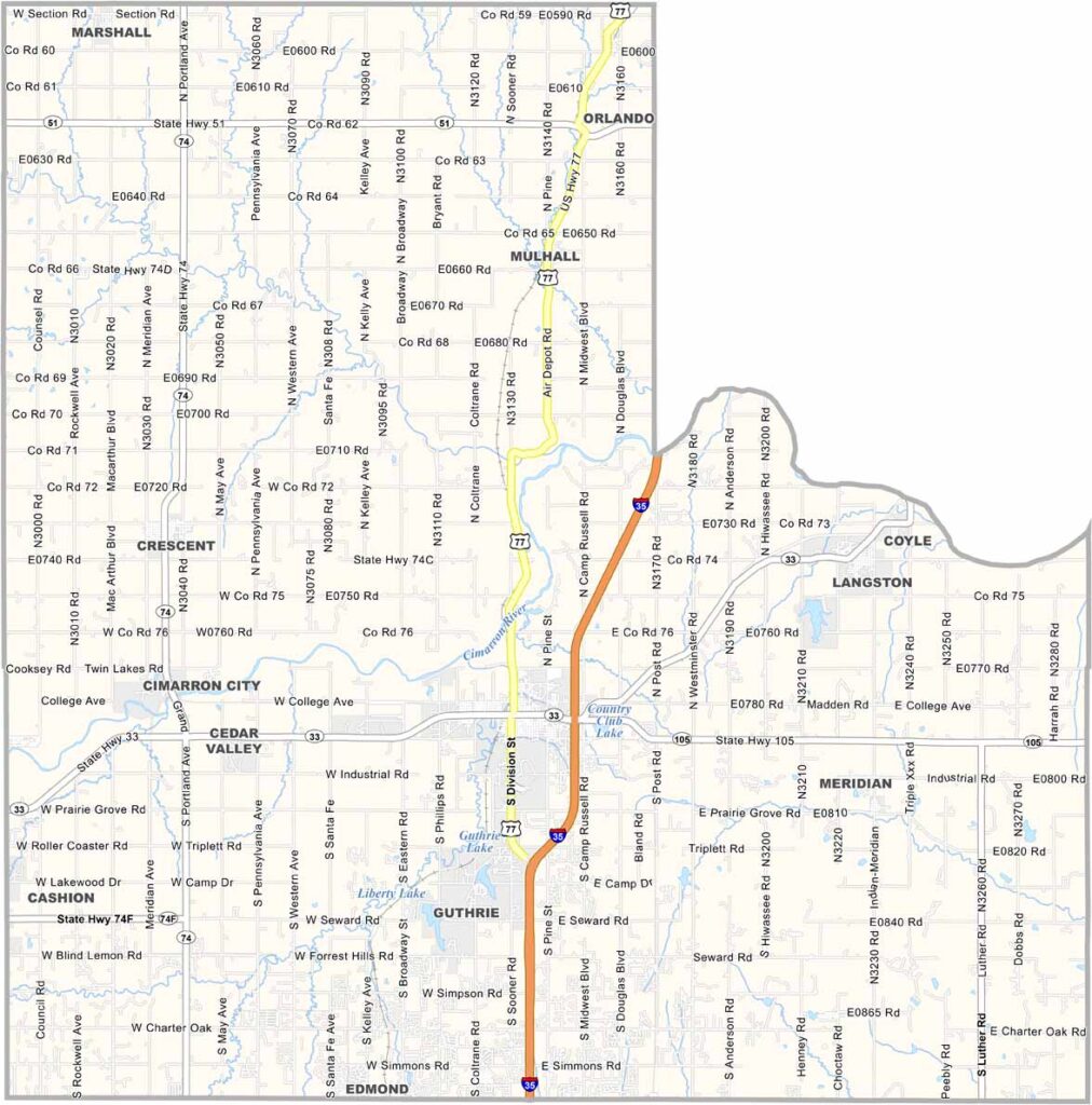
Logan County Map, Oklahoma

Logan County, Oklahoma

Logan County sits in north-central Oklahoma, bordering the greater Oklahoma City metro area. Guthrie, the county seat, was once the state capital, making the area a favorite for history buffs.

The county is named after John A. Logan, a Civil War general and politician. Cattle ranching is a major part of life here, with endless pastures filled with grazing cows.

The Cimarron River cuts through the southern part of the county, adding some scenic beauty. Outdoor recreation is also popular, with fishing and hunting drawing plenty of visitors.
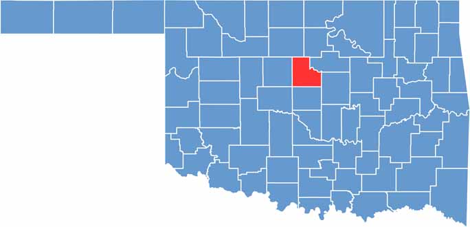

Location map of Logan County, Oklahoma
CategoryDetails
County NameLogan County
County SeatGuthrie
EtymologyNamed after Major General John A. Logan, a Civil War general and U.S. Senator
Cities, Towns, and CommunitiesGuthrie, Crescent, Coyle, Langston, Cedar Valley, Meridian, Mulhall, Orlando
Interstates and HighwaysInterstate 35, U.S. Highway 77, State Highway 33
FIPS Code40-083
Total Area (Land and Water)749 square miles (744 sq mi land, 5 sq mi water)
Adjacent Counties (and Direction)Garfield County (North), Noble County (North), Payne County (Northeast), Lincoln County (East), Oklahoma County (South), Kingfisher County (West)
Time ZoneCentral Time Zone (CST)
StateOklahoma
Coordinates35°55’N, 97°28’W
Major LandmarksOklahoma Territorial Museum, Pollard Theatre, Lazy E Arena
PopulationApproximately 50,000
Scroll to Top