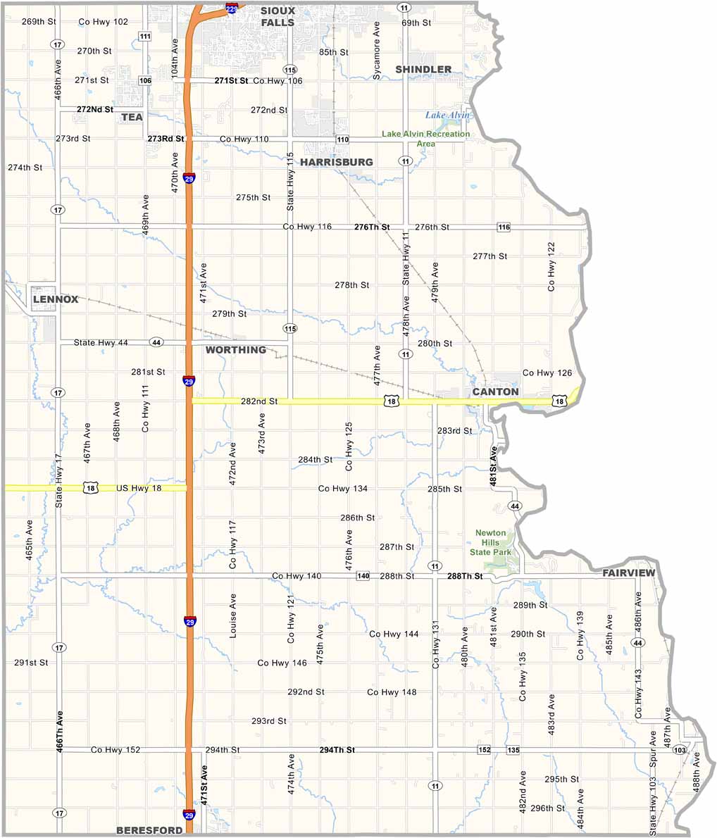
Lincoln County Map, South Dakota

Lincoln County, South Dakota

Lincoln County sits in the southeastern corner of South Dakota, next to Iowa. It’s a mix of small towns and farmland, with Sioux Falls extending into the northern edge.

The Big Sioux River runs along the eastern border. Settlers first arrived in the 1860s, drawn by rich soil and the promise of new beginnings. And it’s true—agriculture remains a major part of life here.

Canton, the county seat, has a charming downtown lined with brick buildings dating back to the early 1900s. Beaver Creek winds through the countryside. It’s the kind of place where neighbors still know each other by name.
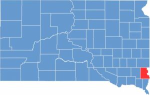

Lincoln County location map of South Dakota
CategoryDetails
County NameLincoln County
County SeatCanton
EtymologyNamed after Abraham Lincoln, the 16th President of the United States
Cities, Towns, and CommunitiesCanton, Harrisburg, Tea, Lennox, Worthing, Hudson, Fairview
Interstates and HighwaysInterstate 29, U.S. Highway 18, State Highway 11
FIPS Code46-083
Total Area (Land and Water)578 square miles (577 sq mi land, 1 sq mi water)
Adjacent Counties (and Direction)Minnehaha County (North), Lyon County, Iowa (Northeast), Sioux County, Iowa (Southeast), Union County (South), Clay County (Southwest), Turner County (West)
Time ZoneCentral Time Zone (CST)
StateSouth Dakota
Coordinates43°17’N, 96°43’W
Major LandmarksNewton Hills State Park, Sioux River, Spirit Mound Historic Prairie
PopulationApproximately 73,000
Scroll to Top