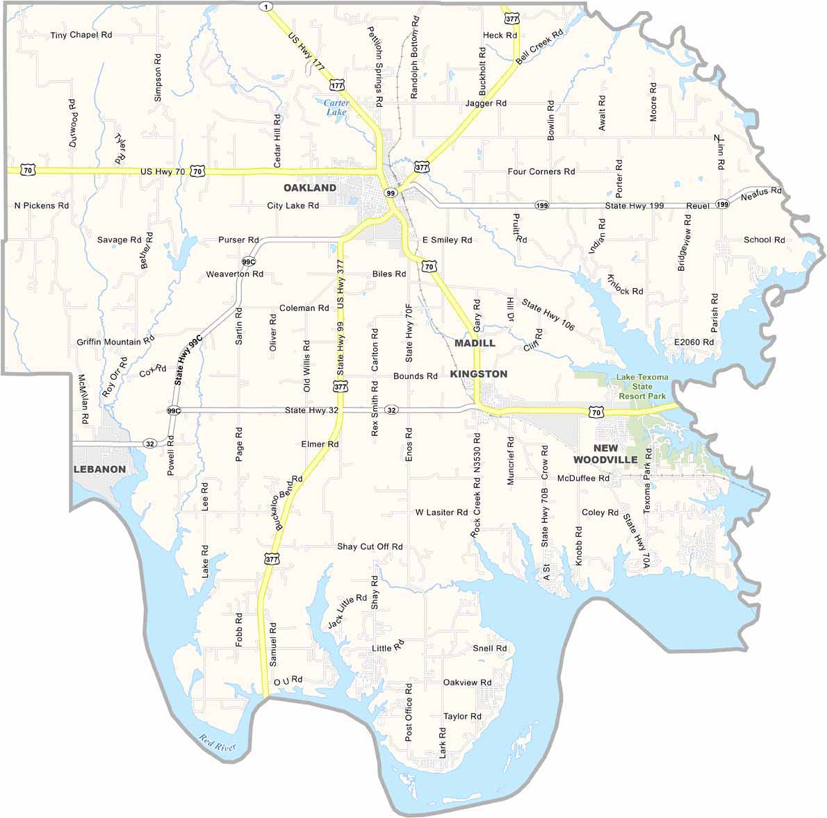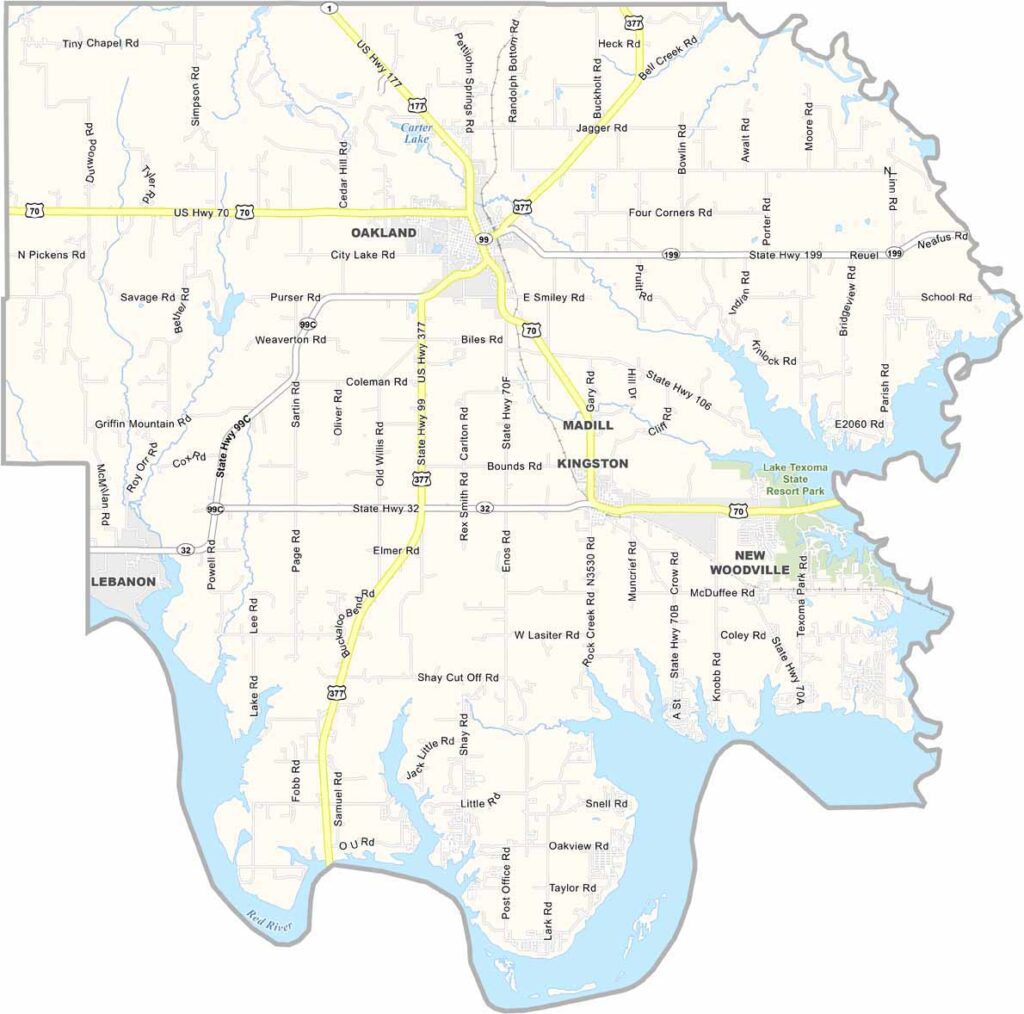
Marshall County Map, Oklahoma

Marshall County, Oklahoma

Marshall County is nestled in south-central Oklahoma, with the Red River and Lake Texoma forming its southern border. This massive reservoir is a major attraction for fishing, boating, and all kinds of tourism.

Madill serves as the county seat, offering small-town charm along with modern amenities. Agriculture remains important here, while the lake-based economy continues to grow.

The area has a rich Native American history, particularly through its connection to the Chickasaw Nation. The county is home to a mix of longtime residents and newcomers, many drawn by the Lake Texoma lifestyle, including Lake Texoma State Park.
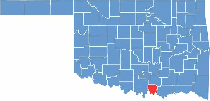

Location map of Marshall County, Oklahoma
CategoryDetails
County NameMarshall County
County SeatMadill
EtymologyNamed after George Marshall, a prominent local rancher
Cities, Towns, and CommunitiesMadill, Kingston, Oakland, Lebanon, Little City
Interstates and HighwaysU.S. Highway 70, State Highway 32, State Highway 99
FIPS Code40-095
Total Area (Land and Water)427 square miles (371 sq mi land, 56 sq mi water)
Adjacent Counties (and Direction)Johnston County (North), Bryan County (East), Grayson County, Texas (South), Love County (West), Carter County (Northwest)
Time ZoneCentral Time Zone (CST)
StateOklahoma
Coordinates34°05’N, 96°47’W
Major LandmarksLake Texoma, Chickasaw Pointe Golf Club, Raymond Gary State Park
PopulationApproximately 17,000
Scroll to Top