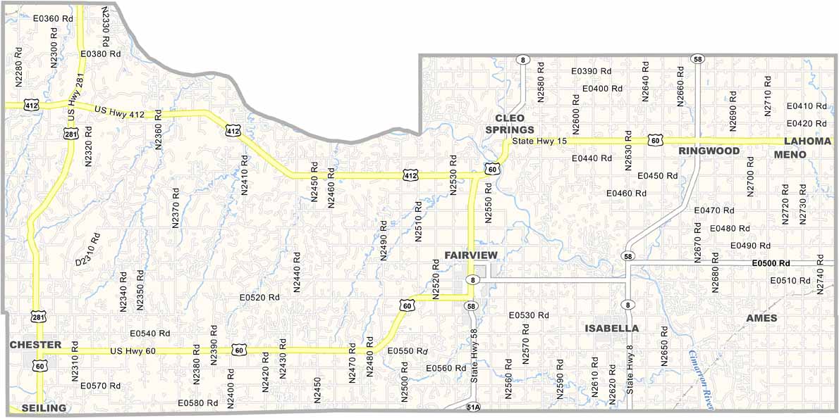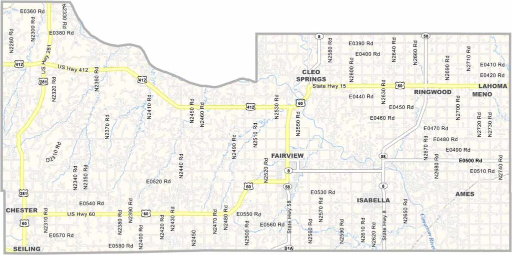
Major County Map, Oklahoma

Major County, Oklahoma

Major County sits in northwestern Oklahoma, where wide-open spaces stretch across the landscape. Fairview is the largest town, although it’s still fairly small.

Farmers and ranchers are the backbone of the community. Wheat fields ripple in the breeze, while oil derricks dot the surrounding countryside.

The Glass Mountains bring some rugged beauty to the otherwise flat terrain. Locals are accustomed to dealing with harsh weather, but they’re also known for being incredibly friendly. Community spirit runs deep throughout Major County.
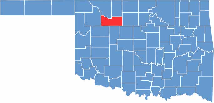

Location map of Major County, Oklahoma
CategoryDetails
County NameMajor County
County SeatFairview
EtymologyNamed after John Charles Major, president of the 1907 Oklahoma Constitutional Convention
Cities, Towns, and CommunitiesFairview, Cleo Springs, Ringwood, Meno, Ames, Isabella, Chester
Interstates and HighwaysU.S. Highway 60, U.S. Highway 412, State Highway 8
FIPS Code40-093
Total Area (Land and Water)958 square miles (955 sq mi land, 3 sq mi water)
Adjacent Counties (and Direction)Woods County (Northwest), Alfalfa County (Northeast), Garfield County (East), Kingfisher County (Southeast), Blaine County (South), Dewey County (Southwest), Woodward County (West)
Time ZoneCentral Time Zone (CST)
StateOklahoma
Coordinates36°19’N, 98°36’W
Major LandmarksGloss Mountain State Park, Major County Historical Society Museum, Canton Lake
PopulationApproximately 7,400
Scroll to Top