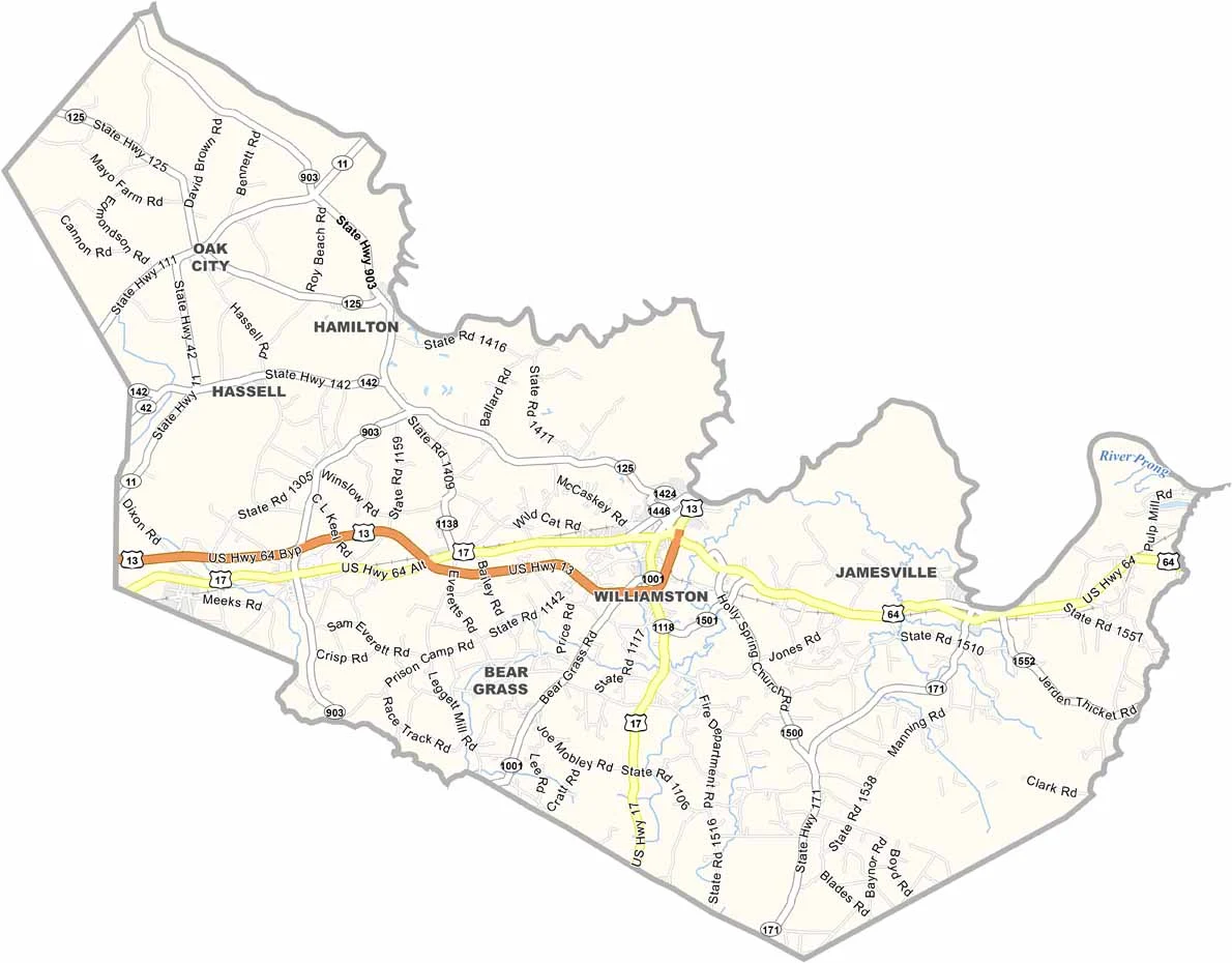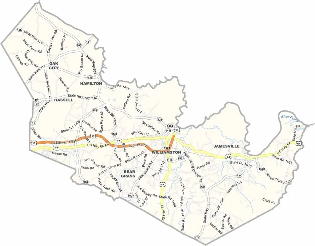
Martin County Map, North Carolina

Martin County, North Carolina

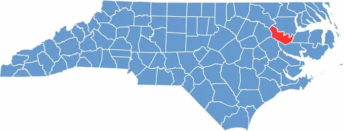
Martin County is located in eastern North Carolina, a place of rich farmland and small-town charm that is also known for its Civil War history.

The county has a strong agricultural tradition, with tobacco and peanuts as major crops. Each fall it hosts the Martin County Agricultural Fair, a fun mix of rides, food, and farm exhibits.

Williamston, the county seat, sits on the banks of the Roanoke River. The river also carves out the county’s northern border and offers excellent fishing and boating. Locals are devoted to high school sports, especially Friday night football.

CategoryDetails
County NameMartin County
County SeatWilliamston
EtymologyNamed after Josiah Martin, the last governor of colonial North Carolina
Cities, Towns, and CommunitiesWilliamston, Robersonville, Oak City
Interstates and HighwaysU.S. Route 64, U.S. Route 17
FIPS Code37-117
Total Area (Land and Water)464 square miles (land and water)
Adjacent Counties (and Direction)Bertie County (Northeast), Washington County (East), Beaufort County (Southeast), Pitt County (Southwest), Edgecombe County (West), Halifax County (Northwest)
Time ZoneEastern Time Zone
StateNorth Carolina
Coordinates35.8592° N, 77.0669° W
Major LandmarksRoanoke River, Historic Downtown Williamston
PopulationApproximately 23,000
Scroll to Top