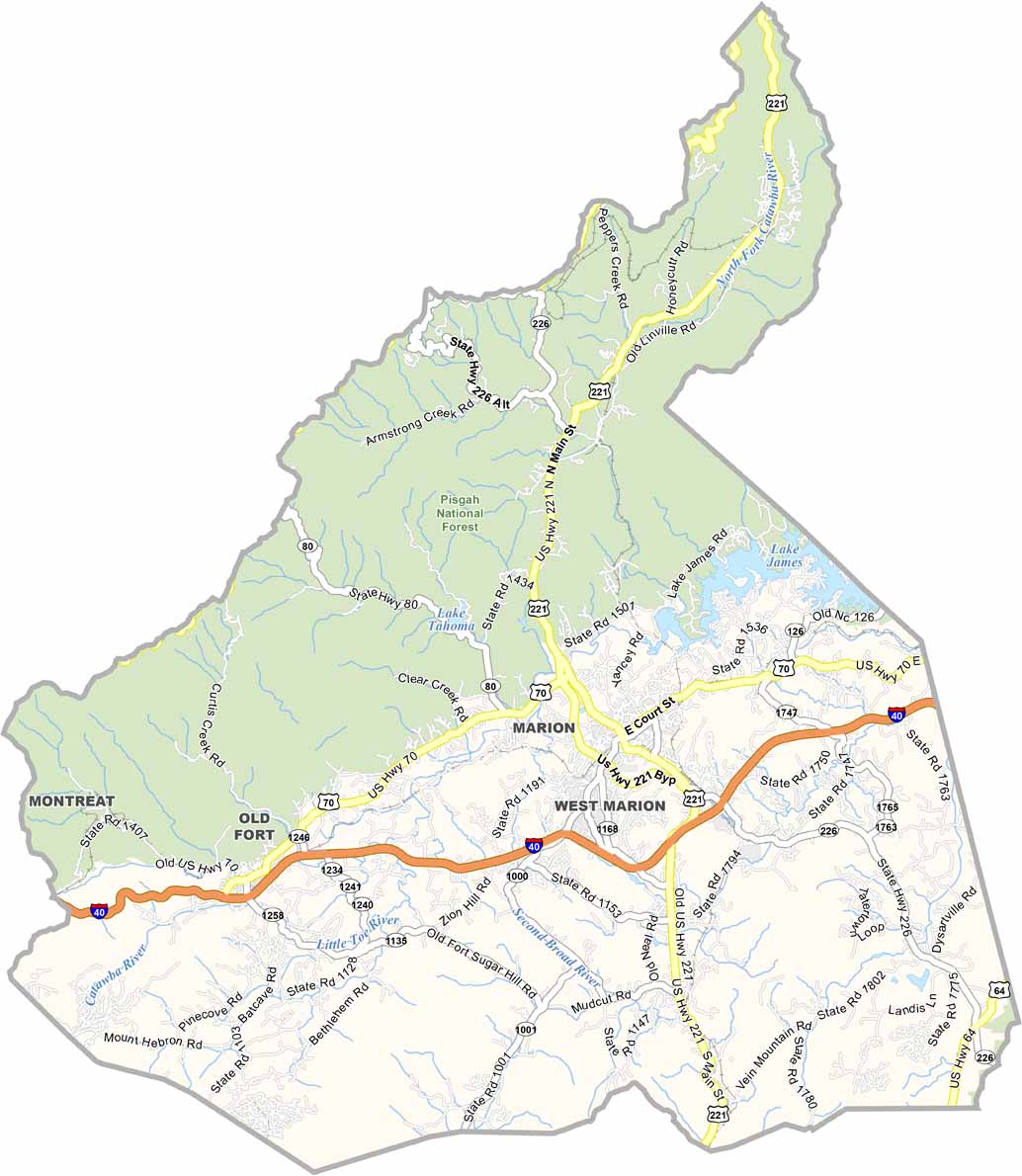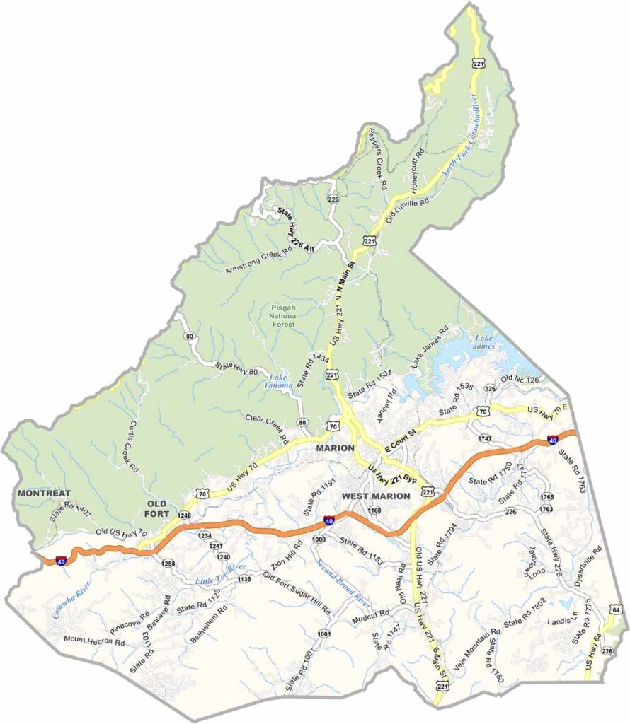
McDowell County Map, North Carolina

McDowell County, North Carolina

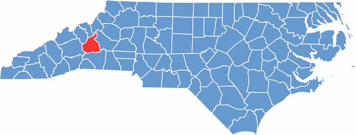
McDowell County sits in the foothills of western North Carolina. Marion, the county seat, calls itself “Where Main Street Meets the Mountains.” And it’s true, the views are spectacular.

There’s a lot of history here. McDowell County was one of the first counties in North Carolina to discover gold. The county hosts the North Carolina Gold Festival each year, a nod to its shiny past. But sorry, they don’t hand out gold.

The county has some of the best hiking around. Linville Gorge, nicknamed the “Grand Canyon of the East,” is partly in McDowell County. Lake James is also a popular spot for fishing. McDowell has friendly folks and a laid-back vibe. If you’re into outdoor adventure, this place is hard to beat.

CategoryDetails
County NameMcDowell County
County SeatMarion
EtymologyNamed after Joseph McDowell, a Revolutionary War hero
Cities, Towns, and CommunitiesMarion, Old Fort, Glenwood, Pleasant Gardens, Woodlawn, Nebo
Interstates and HighwaysInterstate 40, U.S. Route 70, U.S. Route 221
FIPS Code37-111
Total Area (Land and Water)446 square miles (Land: 441 sq mi, Water: 5 sq mi)
Adjacent Counties (and Direction)Mitchell County (North), Avery County (North), Burke County (East), Rutherford County (South), Buncombe County (West), Yancey County (Northwest)
Time ZoneEastern Time Zone (ET)
StateNorth Carolina
Coordinates35.7000° N, 82.0663° W
Major LandmarksLinville Caverns, Mount Mitchell State Park, Lake James State Park, Catawba Falls
PopulationApproximately 46,000
Scroll to Top