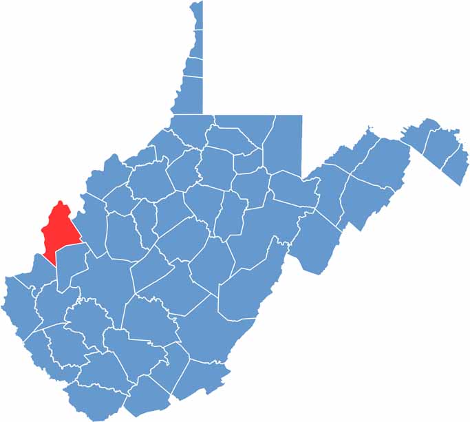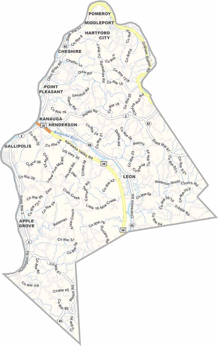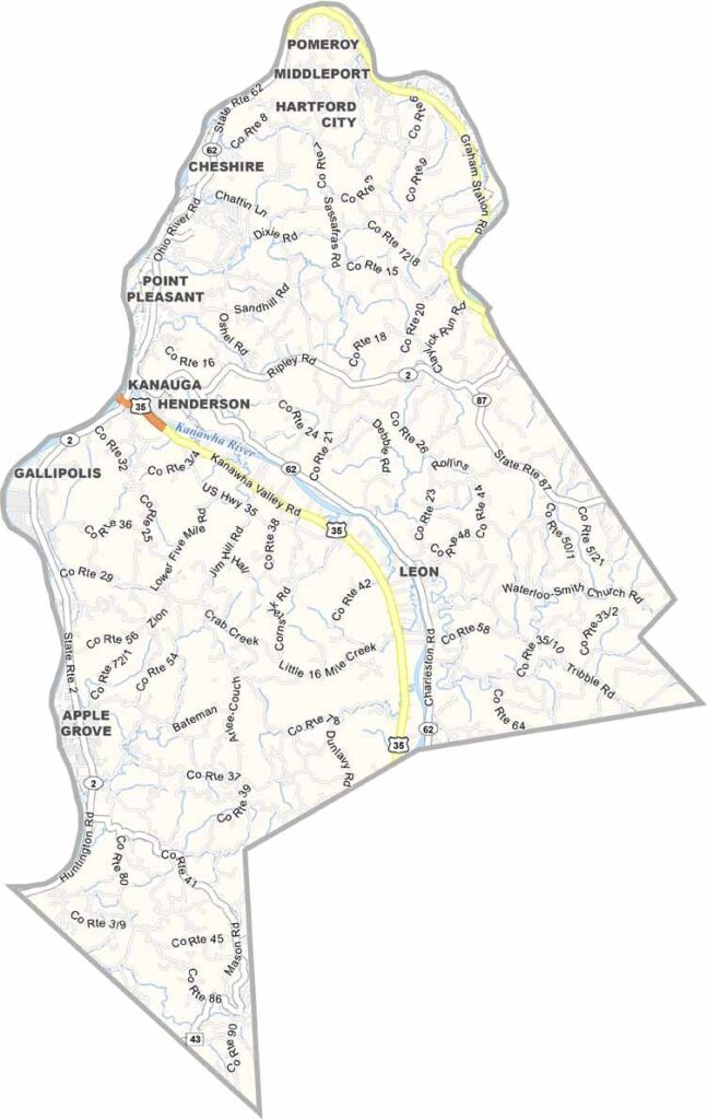
Mason County sits in western West Virginia along the Ohio River, with the river forming much of its western boundary and creating a natural border with Ohio. Point Pleasant, the county seat, is one of the main communities highlighted on the map.
U.S. Route 35 runs through the county, providing an important connection to neighboring communities, counties, and states. Smaller towns and rural areas spread across the landscape, giving Mason County a relaxed, countryside feel.
The county offers a nice mix of history and natural scenery. Rolling hills, winding waterways, and historic landmarks are scattered throughout the area. From its riverfront setting to its quiet rural roads, Mason County has plenty of character and picturesque views to explore.