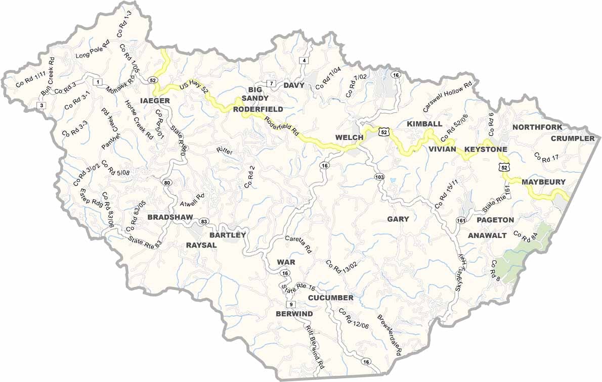
McDowell County was once a powerhouse of West Virginia’s coal country. Coal was the lifeblood of the region, bringing jobs and prosperity to communities throughout the county. Today, times are harder, but the county’s story is far from over. It sits in the southernmost part of West Virginia, right along the Virginia border.
The landscape is classic Appalachian country, with steep mountains, deep valleys, and thick forests stretching across the horizon. Welch, the county seat, has seen better days but continues to hold on. The people here are known for their strength and resilience, having faced more than their share of challenges.
Despite the struggles, there’s still plenty of pride and hope. The Hatfield-McCoy Trails are attracting visitors and outdoor enthusiasts, while new businesses are slowly finding their way into the area. Life here isn’t always easy, but the people who call McDowell County home have a deep connection to the mountains. That Appalachian spirit remains strong.