
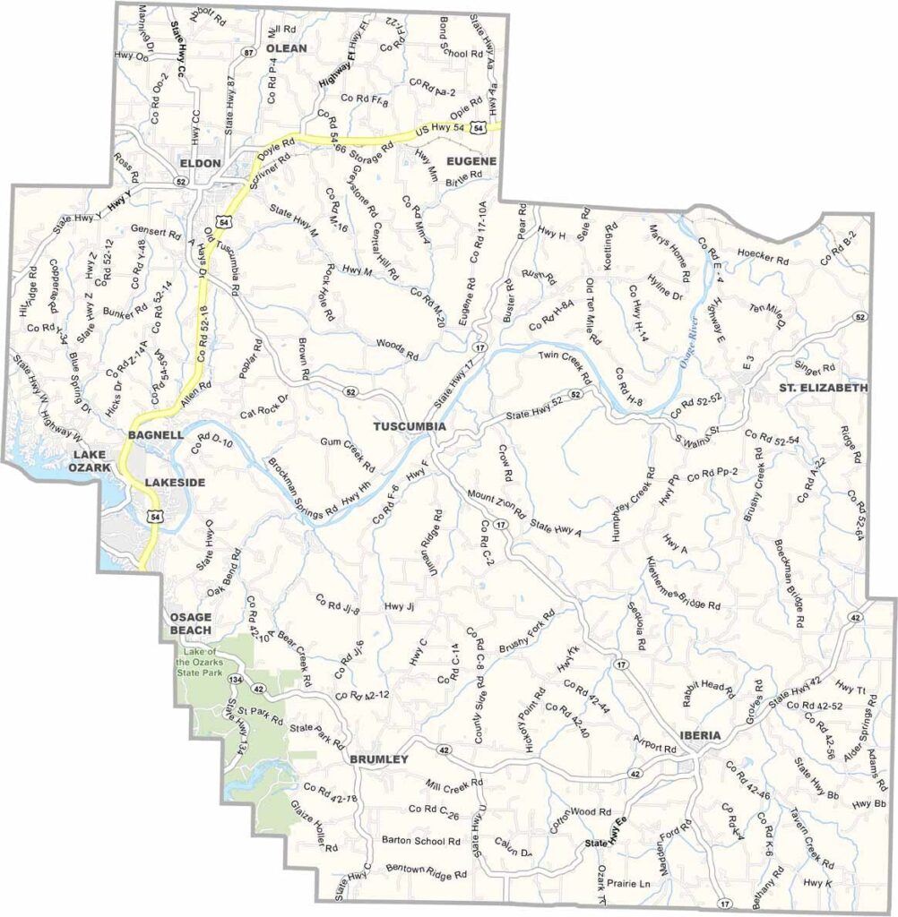
Miller County, Missouri

Miller County lies in the heart of Missouri and is home to part of the popular Lake of the Ozarks region. The lake’s sparkling waters attract visitors year-round to this scenic corner of central Missouri.

Known for its hundreds of miles of shoreline, the area is a favorite for fishing, boating, and water skiing. The Osage River winds through the county, creating picturesque bluffs and valleys.

Tuscumbia, the county seat, is a small community with a historic courthouse that has stood for generations. Local restaurants often serve Ozark favorites like catfish and hush puppies, adding to the county’s laid-back lake-country charm.
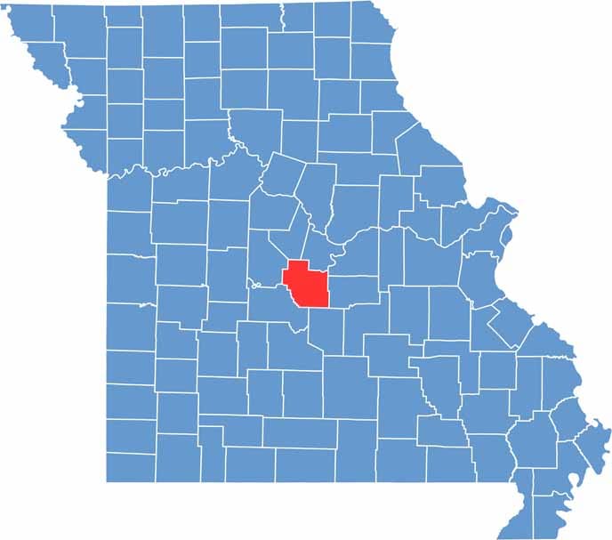

Printable Miller County Missouri location map showing county location and boundaries
Category Details
County Name Miller County
County Seat Tuscumbia
Cities, Towns, and Communities Eldon, Lake Ozark, Iberia, Tuscumbia, Brumley, St. Elizabeth, Bagnell
Interstates and Highways US 54, MO 42, MO 52
Population Approximately 26,000
FIPS Code 29-131
Total Area (Land and Water) 600 square miles (Land: 593 sq mi, Water: 7 sq mi)
Time Zone Central Time Zone (CT)
State Missouri
Coordinates 38.2409° N, 92.3817° W
Etymology Named after John Miller, a former Governor of Missouri
Major Landmarks Lake of the Ozarks, Bagnell Dam, Ozark Caverns, Swinging Bridges of Brumley
Adjacent Counties (and Direction) Moniteau County (North), Cole County (Northeast), Osage County (Northeast), Maries County (East), Pulaski County (South), Camden County (Southwest), Morgan County (West)
Scroll to Top


