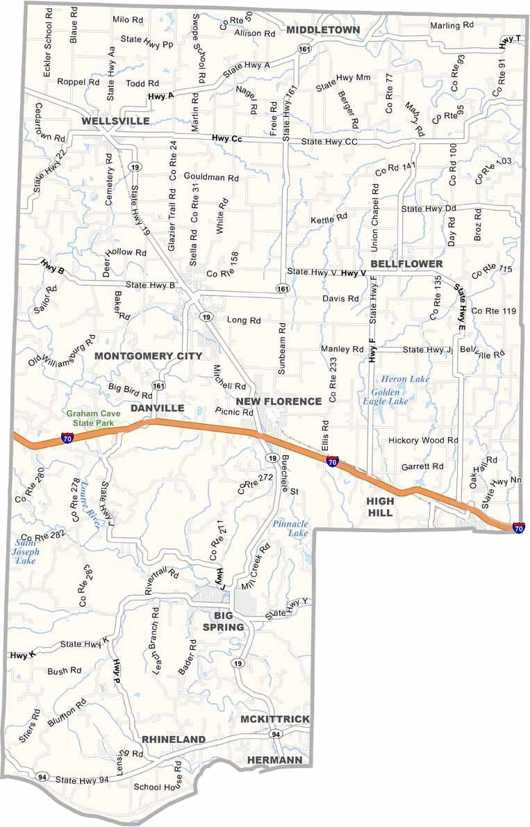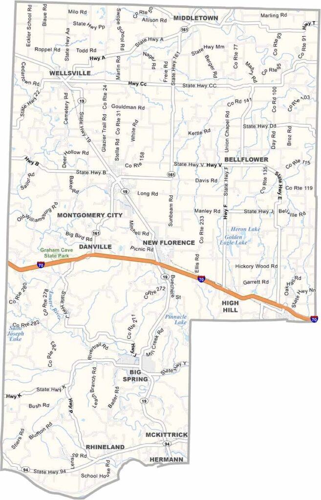
Free Blank Virginia Map

Montgomery County sits just east of central Missouri, where prairie landscapes meet forested hills. The Missouri River forms its southern border, bringing scenic bluffs and fertile bottomlands.

Montgomery City, the county seat, offers a classic small-town atmosphere. Agriculture remains a major part of the local economy, and the county is home to wineries that are part of Missouri’s Rhineland region.

The rolling countryside comes alive with vibrant colors in the fall. Winters can be challenging, but spring rewards residents with blooming wildflowers and beautiful scenery.
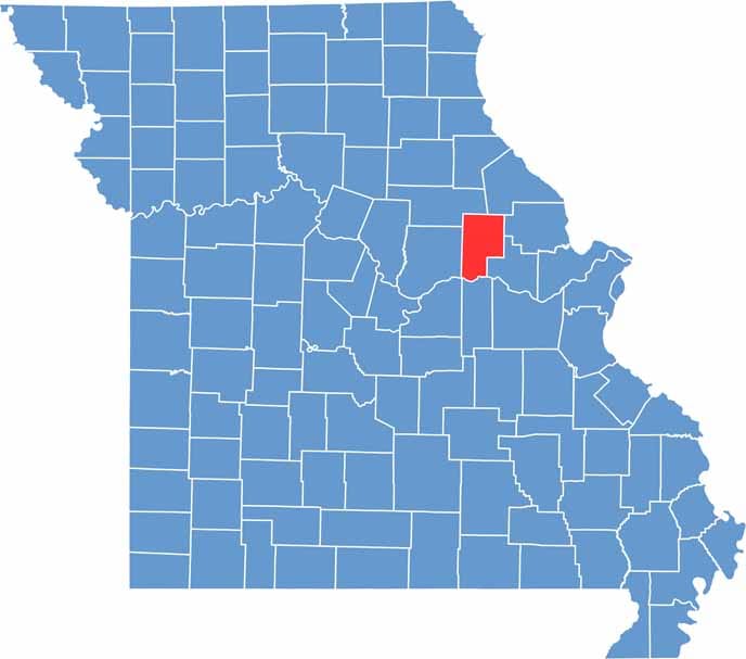

Printable Montgomery County Missouri location map showing county location and boundaries
Category Details
County Name Montgomery County
County Seat Montgomery City
Cities, Towns, and Communities Montgomery City, Wellsville, New Florence, High Hill, Jonesburg, Bellflower
Interstates and Highways I-70, US 40, MO 19, MO 161
Population Approximately 12,000
FIPS Code 29-139
Total Area (Land and Water) 542 square miles (Land: 536 sq mi, Water: 6 sq mi)
Time Zone Central Time Zone (CT)
State Missouri
Coordinates 38.9661° N, 91.5052° W
Etymology Named after Richard Montgomery, an American Revolutionary War general
Major Landmarks Graham Cave State Park, Daniel Boone Conservation Area, Montgomery County Courthouse
Adjacent Counties (and Direction) Audrain County (Northwest), Pike County (Northeast), Lincoln County (East), Warren County (Southeast), Gasconade County (South), Callaway County (West), Osage County (Southwest)
Scroll to Top