Free Blank Virginia Map

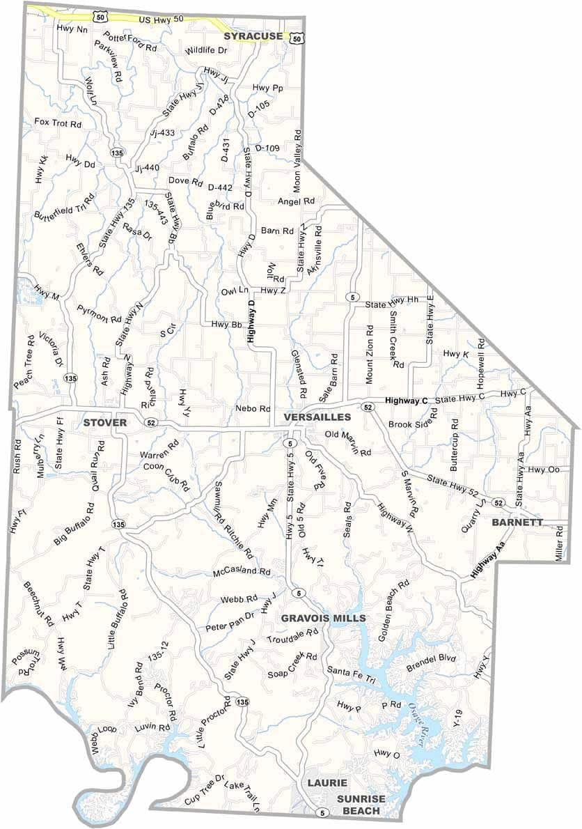
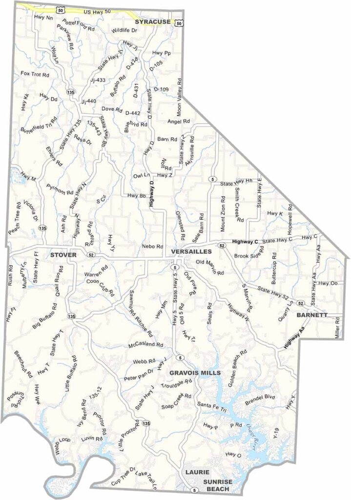
Morgan County is part of central Missouri’s Lake of the Ozarks region, where lake living blends with a rural lifestyle. Versailles, the county seat, is famously pronounced “Ver-sails” by locals.

The Lake of the Ozarks provides hundreds of miles of shoreline for fishing and boating, while the Osage River forms part of the county’s southeastern edge. Beyond the water, rolling hills and farmland define the landscape.

Summers bring an influx of visitors, while winters are peaceful and quiet. Hunting is a favorite fall activity, and the region’s ever-changing Ozark weather keeps life interesting. Communities like Stover and Barnett reflect the charm and traditions of small-town Missouri.
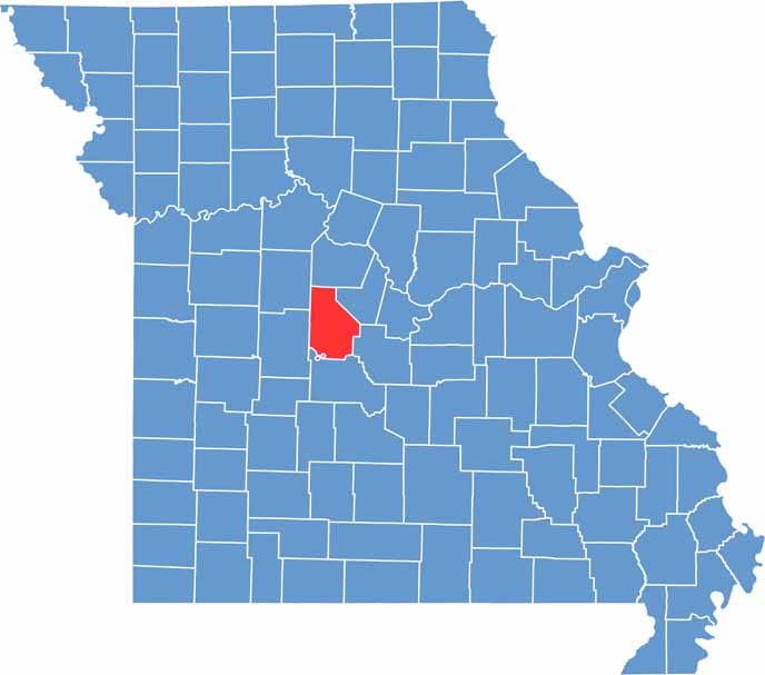

Printable Morgan County Missouri location map showing county location and boundaries
Category Details
County Name Morgan County
County Seat Versailles
Cities, Towns, and Communities Versailles, Laurie, Gravois Mills, Stover, Barnett, Florence, Glensted
Interstates and Highways US 50, MO 5, MO 135
Population Approximately 21,000
FIPS Code 29-141
Total Area (Land and Water) 614 square miles (Land: 598 sq mi, Water: 16 sq mi)
Time Zone Central Time Zone (CT)
State Missouri
Coordinates 38.3681° N, 92.8877° W
Etymology Named after Daniel Morgan, a general in the American Revolutionary War
Major Landmarks Lake of the Ozarks, Jacob’s Cave, Morgan County Historical Society Museum
Adjacent Counties (and Direction) Cooper County (North), Moniteau County (Northeast), Miller County (Southeast), Camden County (South), Benton County (West), Pettis County (Northwest)
Scroll to Top