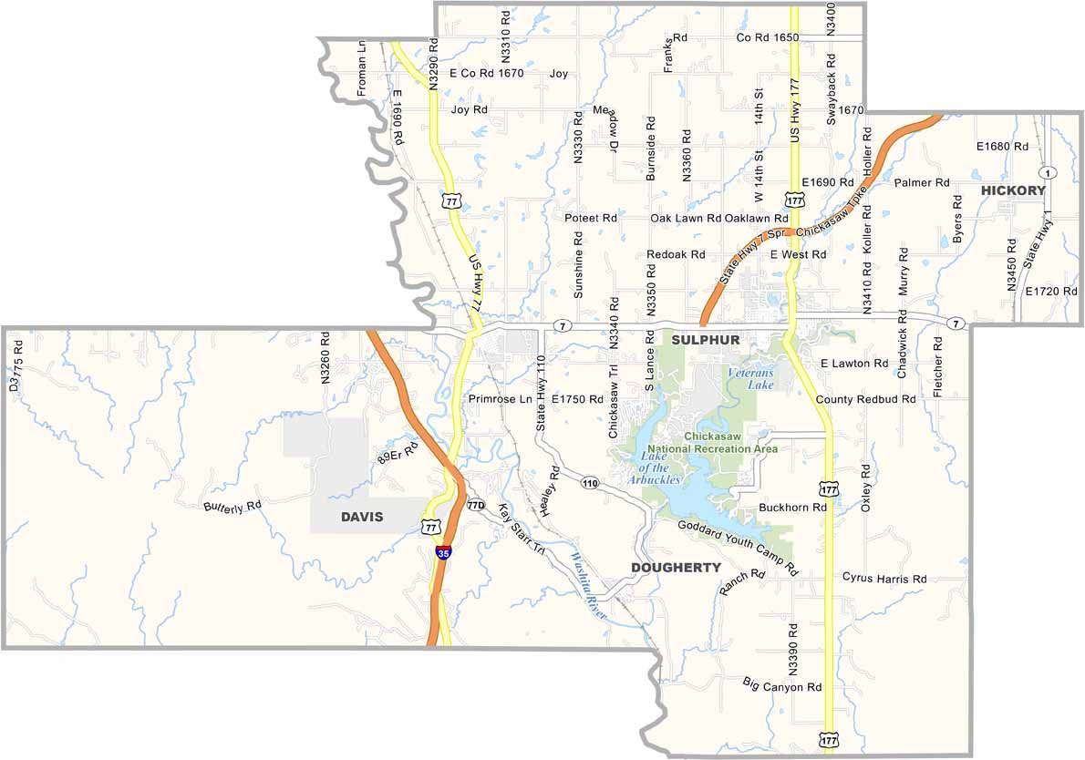
Murray County Map, Oklahoma

Murray County, Oklahoma

Murray County sits in south-central Oklahoma, home to the Chickasaw National Recreation Area. This place has springs, streams, lakes, hiking, camping, and more.

Sulphur, the county seat, is known for its mineral springs. People have been coming here for the healing waters for centuries.

The Arbuckle Mountains add some elevation to the otherwise flat Oklahoma landscape. Turner Falls is a must-see natural wonder. Agriculture is still important, but tourism drives the economy now.
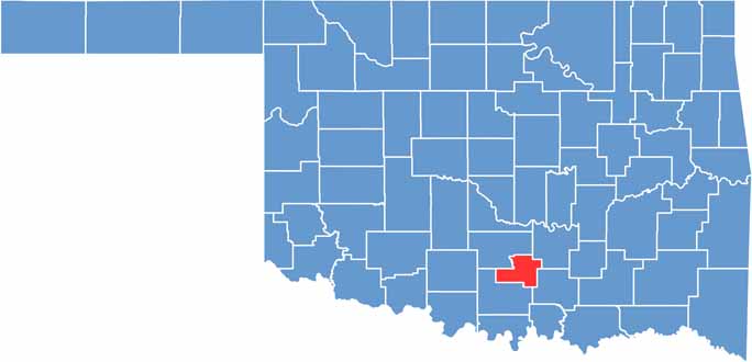

Location map of Murray County, Oklahoma
CategoryDetails
County NameMurray County
County SeatSulphur
EtymologyNamed after William H. Murray, a Governor of Oklahoma
Cities, Towns, and CommunitiesSulphur, Davis, Dougherty, Hickory
Interstates and HighwaysU.S. Highway 77, State Highway 7, State Highway 110
FIPS Code40-099
Total Area (Land and Water)425 square miles (416 sq mi land, 9 sq mi water)
Adjacent Counties (and Direction)Pontotoc County (Northeast), Johnston County (Southeast), Carter County (Southwest), Garvin County (Northwest)
Time ZoneCentral Time Zone (CST)
StateOklahoma
Coordinates34°29'N, 97°00'W
Major LandmarksChickasaw National Recreation Area, Turner Falls Park, Arbuckle Mountains
PopulationApproximately 14,000
Scroll to Top