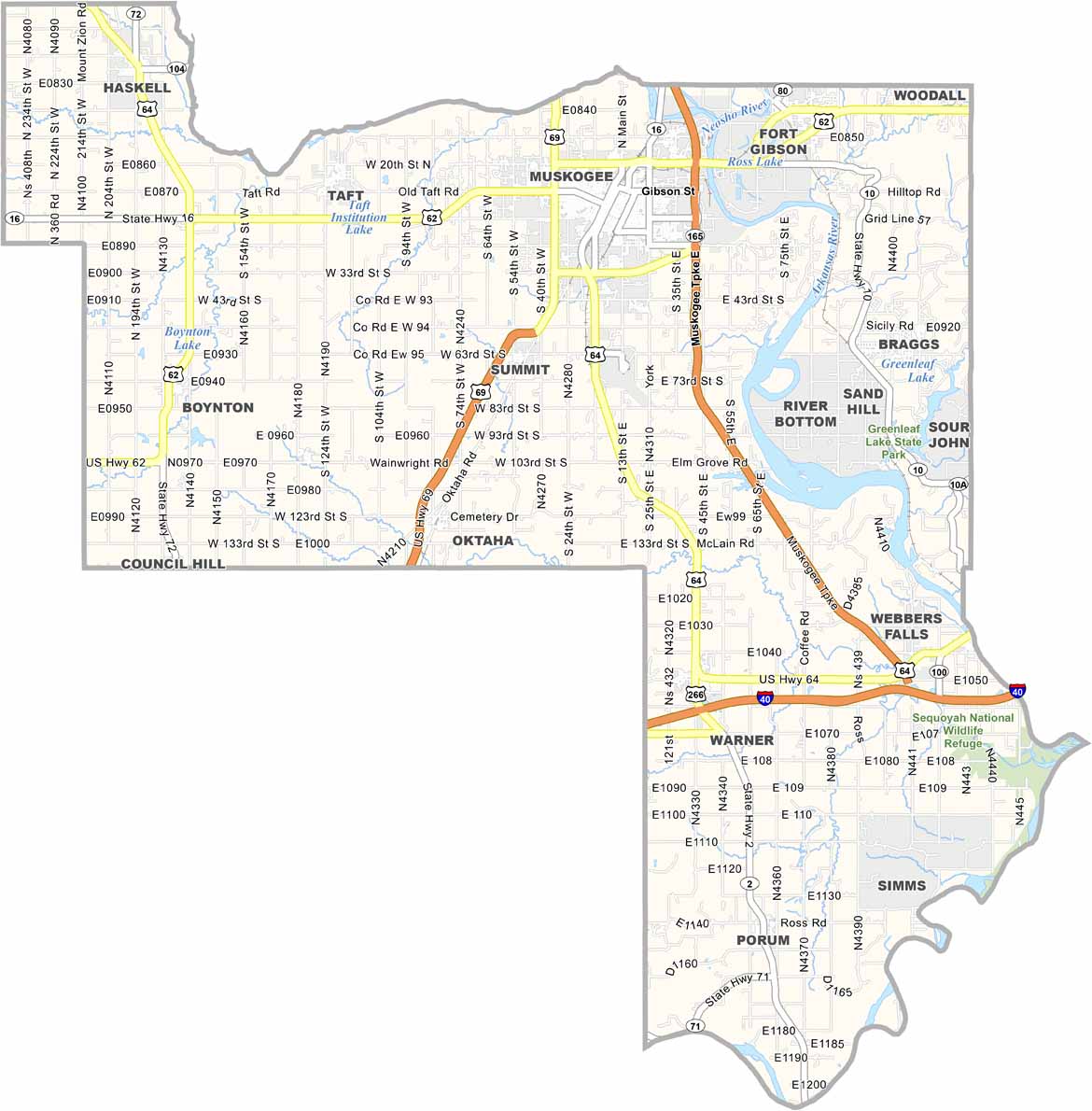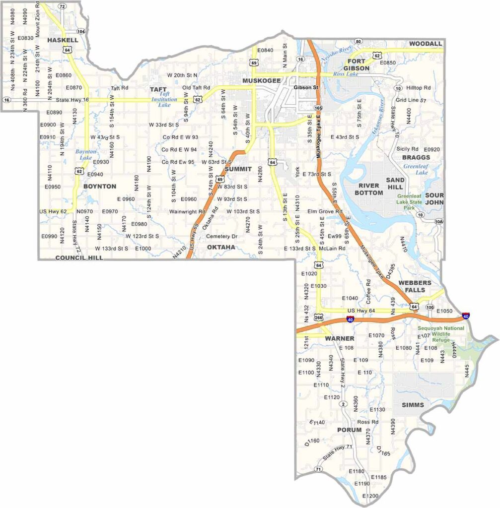
Muskogee County Map, Oklahoma

Muskogee County, Oklahoma

Muskogee County is in the eastern part of Oklahoma, a place with deep roots. The Arkansas River flows through here, shaping the land and people's lives.

Muskogee, the county seat, is known as the home of country music star Carrie Underwood. The Five Civilized Tribes Museum showcases Native American heritage.

Outdoorsy types have plenty to do, like Greenleaf State Park, where fishing, hiking, and boating are popular activities. Agriculture also plays a big role in the local economy, and peaches are a local specialty. They're delicious here.
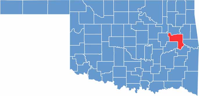

Location map of Muskogee County, Oklahoma
CategoryDetails
County NameMuskogee County
County SeatMuskogee
EtymologyNamed after the Muscogee (Creek) Nation
Cities, Towns, and CommunitiesMuskogee, Fort Gibson, Haskell, Hilldale, Warner, Boynton, Braggs, Oktaha, Webbers Falls
Interstates and HighwaysU.S. Highway 62, U.S. Highway 64, U.S. Highway 69, U.S. Highway 266, State Highway 16
FIPS Code40-101
Total Area (Land and Water)839 square miles (810 sq mi land, 29 sq mi water)
Adjacent Counties (and Direction)Wagoner County (North), Cherokee County (Northeast), Sequoyah County (East), Haskell County (Southeast), McIntosh County (Southwest), Okmulgee County (West)
Time ZoneCentral Time Zone (CST)
StateOklahoma
Coordinates35°42'N, 95°22'W
Major LandmarksHonor Heights Park, Five Civilized Tribes Museum, USS Batfish & War Memorial Park, Three Rivers Museum
PopulationApproximately 67,000
Scroll to Top