
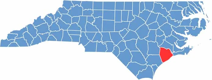
Onslow County hugs the southern coast of North Carolina, along the Atlantic Ocean. One way to describe this county is that it's where military culture meets coastal living.
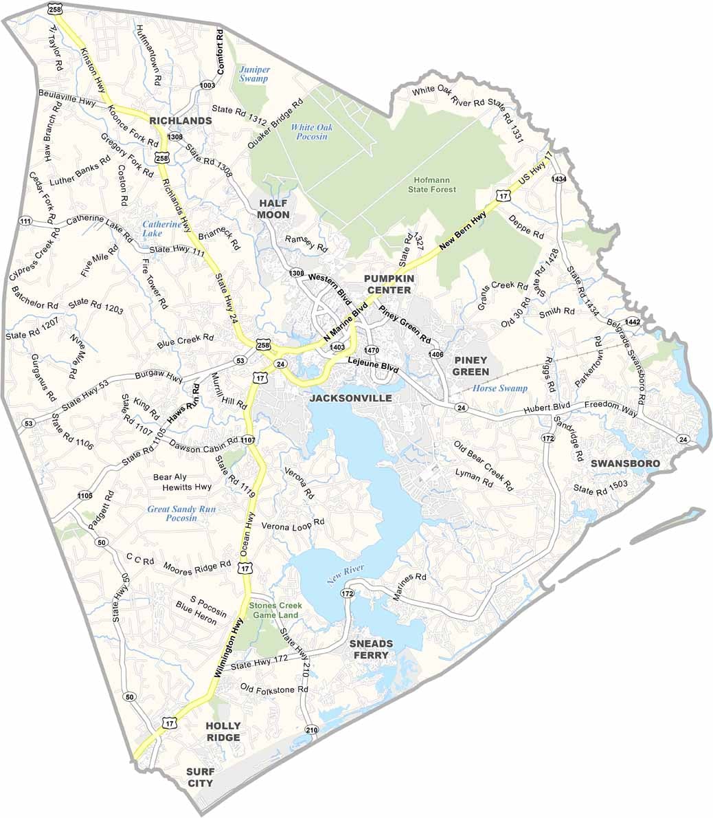
Jacksonville, the county seat, has a young, diverse population. Marines are a common sight here because Camp Lejeune is a massive Marine Corps base that dominates the area.
The beaches of Topsail Island and Hammocks Beach State Park draw summer crowds. Fishing is a way of life, so the county has some of the best seafood restaurants around. You can see Venus flytraps growing wild here.
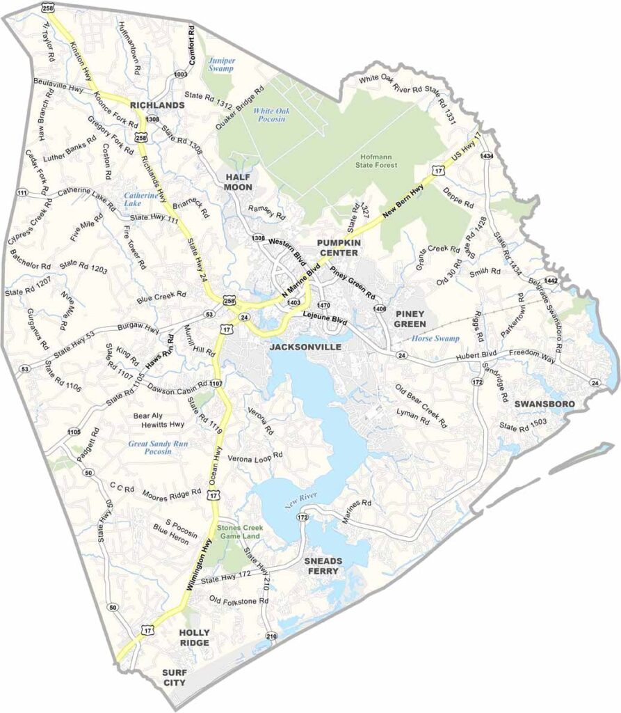
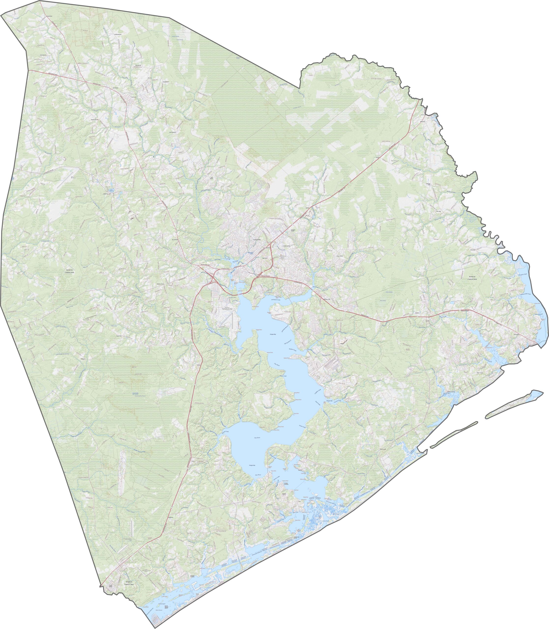
The road network reflects both the coast and the military base. Some of the major highways here are U.S. Route 17, NC 24, and NC 172. Zoom in to see how everything funnels toward the water and the military.
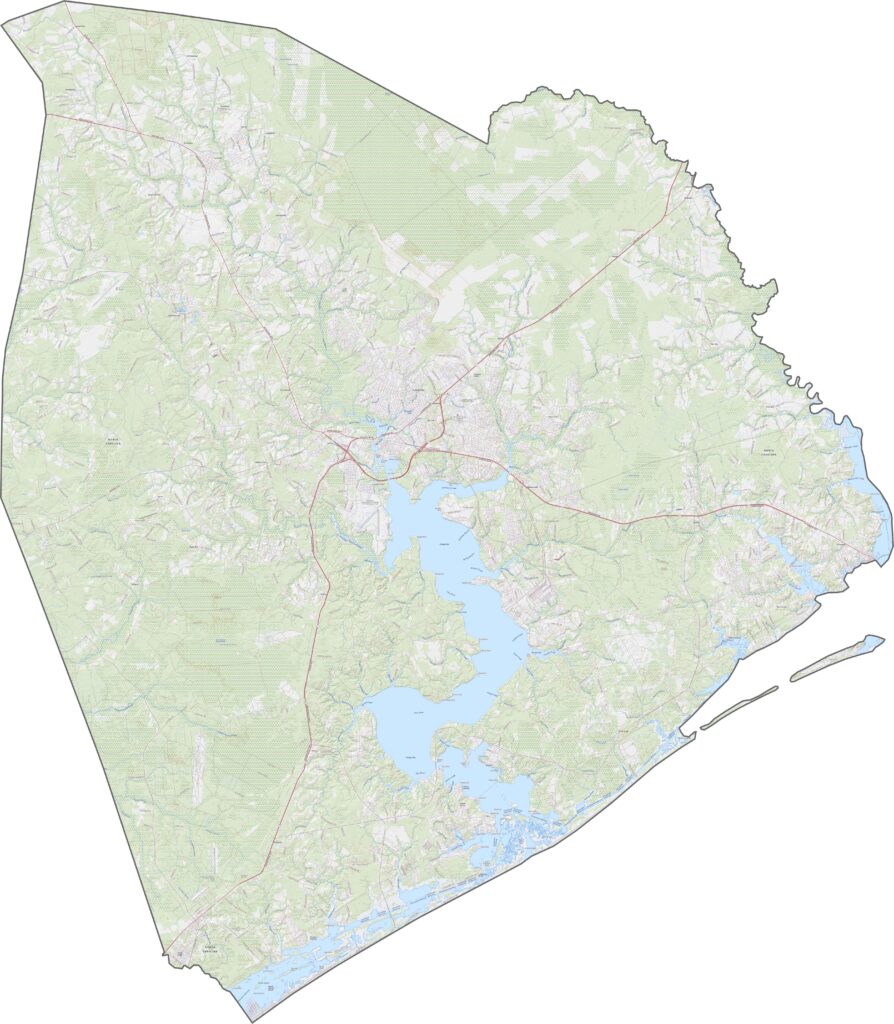
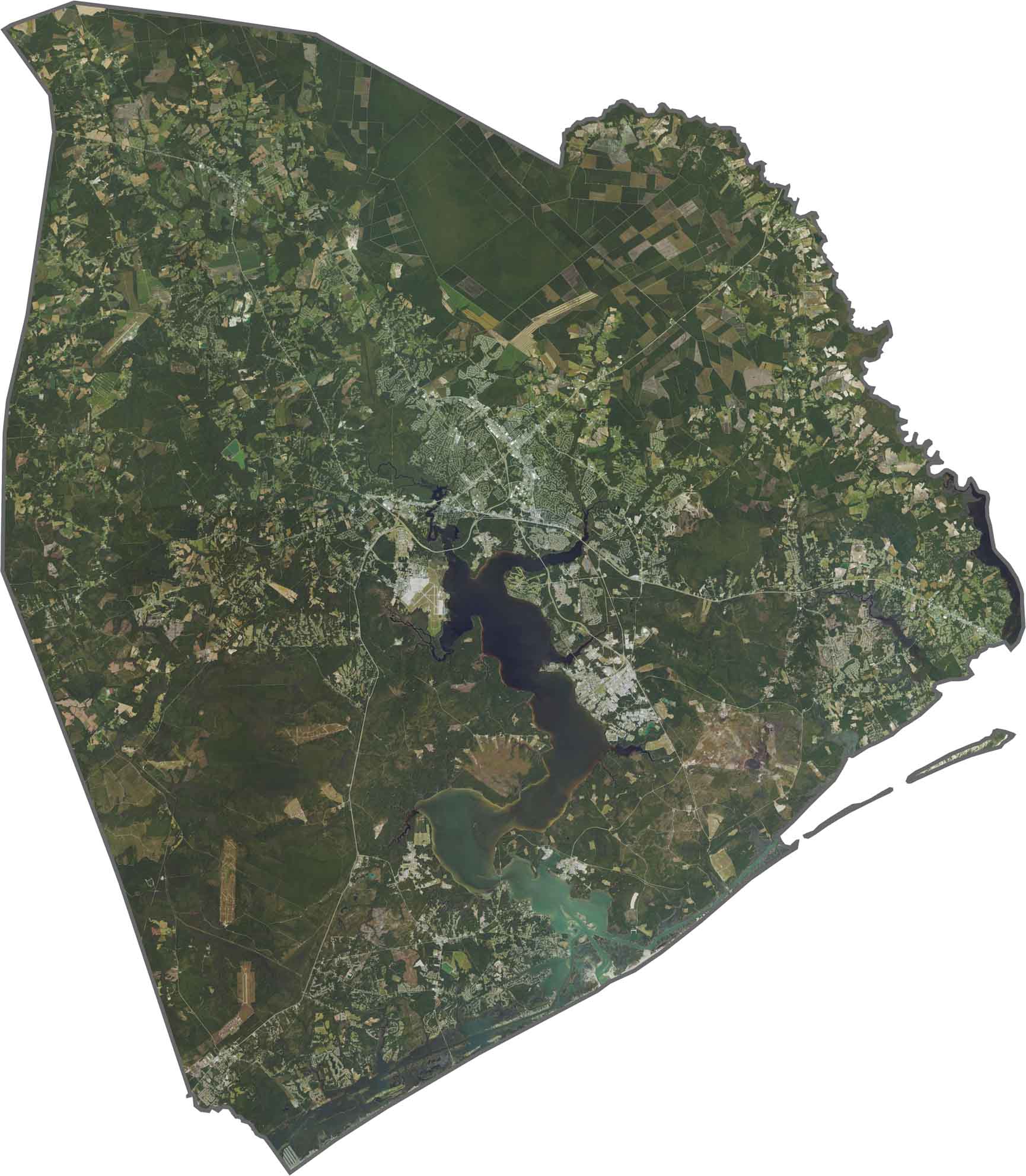
Onslow County is mostly level, but water shapes the land. Jacksonville's urban core looks small compared to all the green. Farmland and longleaf pine forests take up most of the inland areas. Rivers and coastal inlets glow, especially in the south.
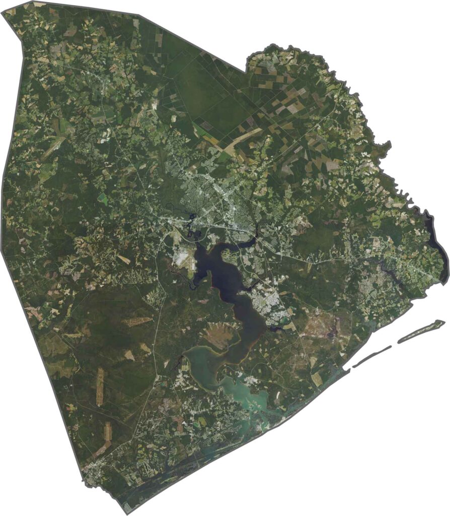
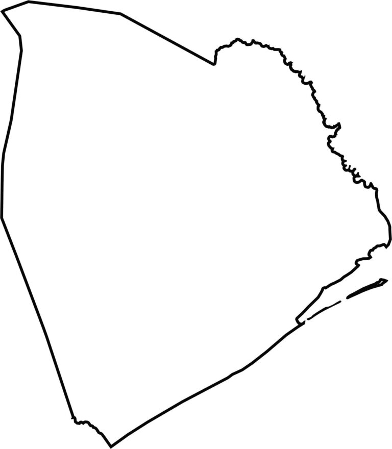
The shape is lopsided and coastal. Onslow County touches the Atlantic Ocean on its southern end but doesn't meet another state. More specifically, it borders Onslow Bay.








North Carolina’s 100 counties each have their own personality. Some embrace beach life, while others are known for barbecue or bluegrass. Sometimes, you’ll find all three in one place. Across the state, there are waterfalls, farmland, and NASCAR.