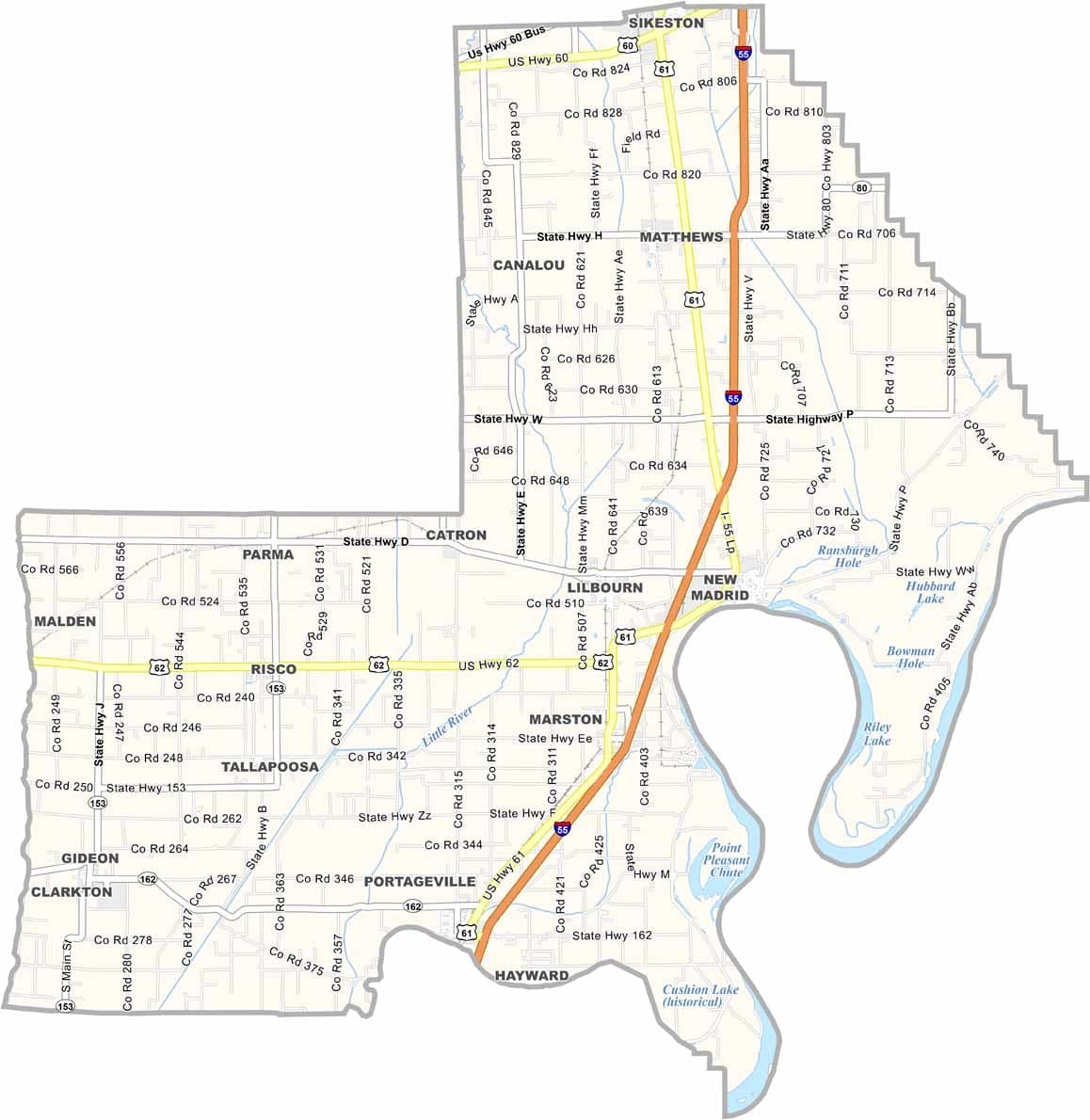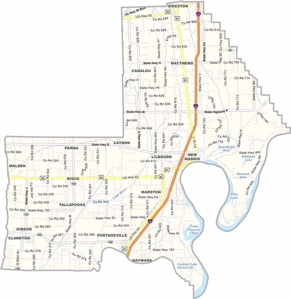
New Madrid County, Missouri

New Madrid County is located in Missouri’s Bootheel and is best known for the powerful earthquakes of 1811–1812, which famously affected the flow of the Mississippi River.

The river continues to shape life in the county, with levees protecting large fields of cotton and soybeans. New Madrid, the county seat, sits along the Mississippi River and Interstate 55.

Fishing remains both a popular pastime and an important part of the local economy. Winters are generally mild, while summers can be quite hot. Residents take pride in their rich history, strong river heritage, and distinctive Delta culture with a Missouri flavor.
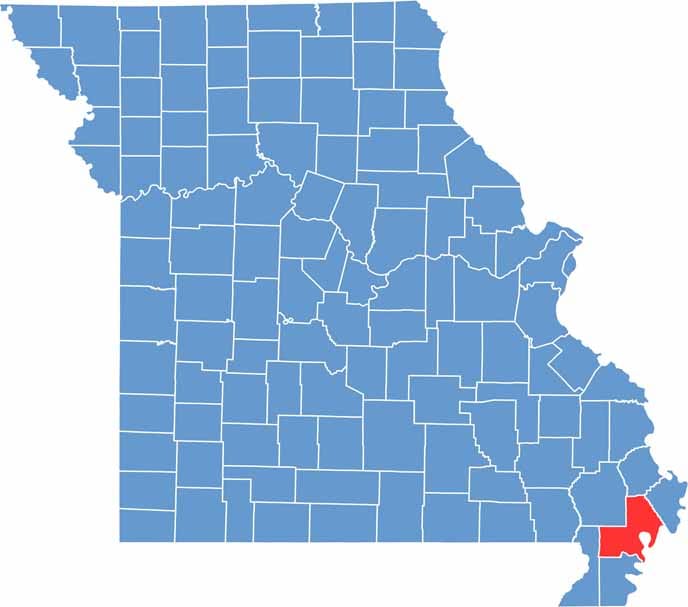

Printable New Madrid County Missouri location map showing county location and boundaries
Category Details
County Name New Madrid County
County Seat New Madrid
Cities, Towns, and Communities New Madrid, Portageville, Lilbourn, Gideon, Morehouse, Marston, Risco, Canalou
Interstates and Highways I-55, US 61, US 62, MO 153
Population Approximately 16,000
FIPS Code 29-143
Total Area (Land and Water) 697 square miles (Land: 675 sq mi, Water: 22 sq mi)
Time Zone Central Time Zone (CT)
State Missouri
Coordinates 36.5860° N, 89.6601° W
Etymology Named after New Madrid, Spain
Major Landmarks New Madrid Historical Museum, New Madrid Bend, Hunter-Dawson State Historic Site
Adjacent Counties (and Direction) Scott County (North), Mississippi County (Northeast), Fulton County, Kentucky (South), Lake County, Tennessee (South), Pemiscot County (South), Dunklin County (Southwest), Stoddard County (Northwest)
Scroll to Top