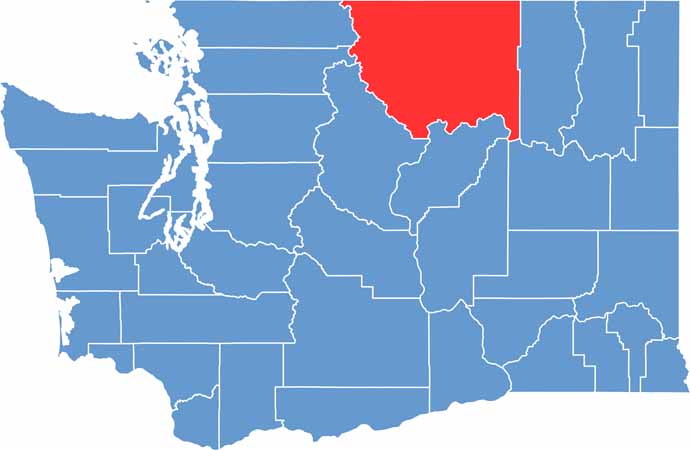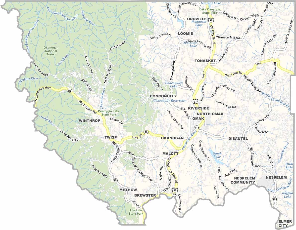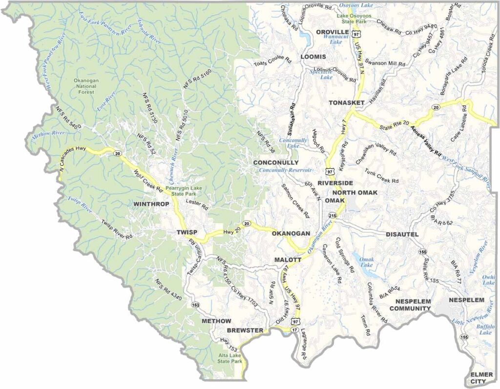
Okanogan County is located in north-central Washington along the Canadian border and is the largest county in the state by land area. Its landscape shifts from dry sagebrush plains to thick mountain forests, creating a striking mix of environments. With more cattle than residents, ranching remains an important part of local life.
The Methow Valley is one of the county’s most popular destinations, especially during winter when cross-country skiing attracts outdoor enthusiasts. Summers are warm and well suited for exploring orchards, with apples and cherries among the area’s best-known crops.
Okanogan County is also celebrated for its exceptionally dark skies, making it an excellent place for stargazing. The Okanogan River winds through the region, supporting wildlife, farming, and surrounding communities. Local rodeos remain an important tradition, keeping the county’s Western spirit alive.