
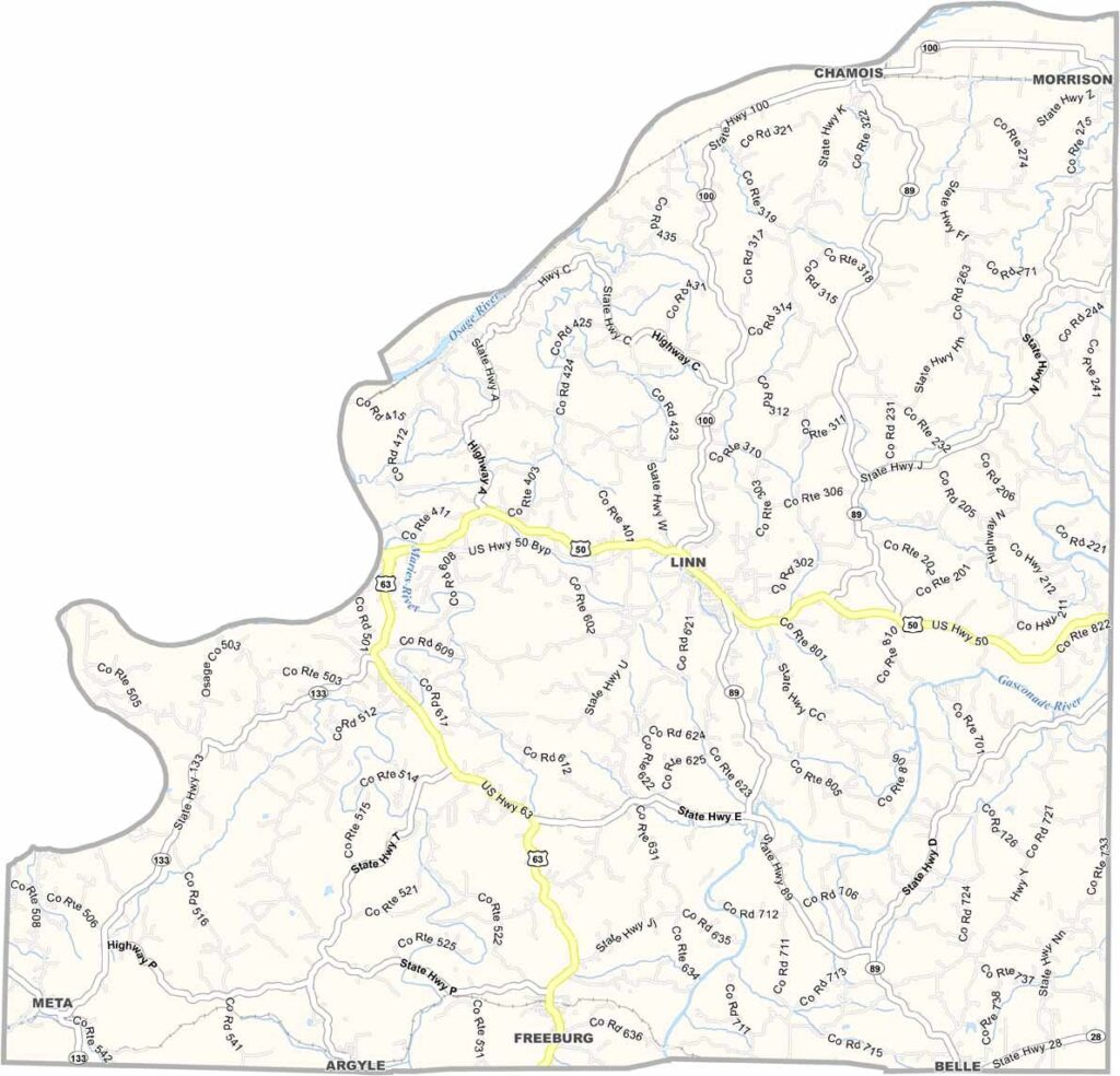
Osage County, Missouri

Osage County is located in central Missouri, where history and natural beauty come together. Jefferson City, the state capital, lies just across the river to the west.

Named after the Osage Nation, the county is bordered on the west by the Osage River. Rolling hills and farmland shape much of the landscape.

Chamois and Linn are the largest towns, though both retain a small-town feel. Fishing and boating are popular pastimes, and residents proudly celebrate their German heritage through local wines, beers, and traditions.
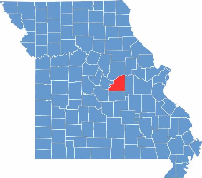

Printable Osage County Missouri location map showing county location and boundaries
Category Details
County Name Osage County
County Seat Linn
Cities, Towns, and Communities Linn, Freeburg, Chamois, Meta, Westphalia, Argyle, Rich Fountain
Interstates and Highways US 50, US 63, MO 89, MO 133
Etymology Named after the Osage River, which flows through the county
FIPS Code 29-151
Total Area (Land and Water) 613 square miles (Land: 604 sq mi, Water: 9 sq mi)
Time Zone Central Time Zone (CT)
State Missouri
Coordinates 38.4572° N, 91.8987° W
Population Approximately 14,000
Major Landmarks Osage County Historical Society Museum, Painted Rock Conservation Area, Missouri State Technical College
Adjacent Counties (and Direction) Callaway County (North), Gasconade County (East), Maries County (South), Miller County (Southwest), Cole County (West), Montgomery County (Northeast)
Scroll to Top


