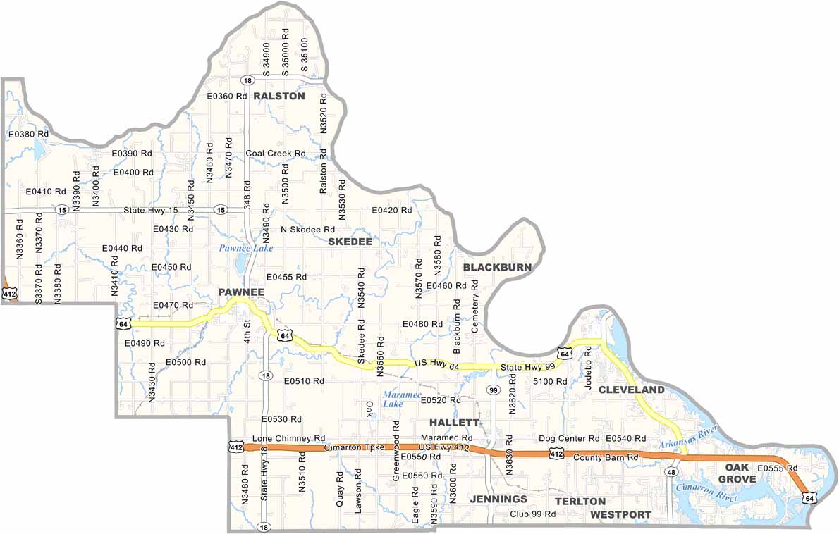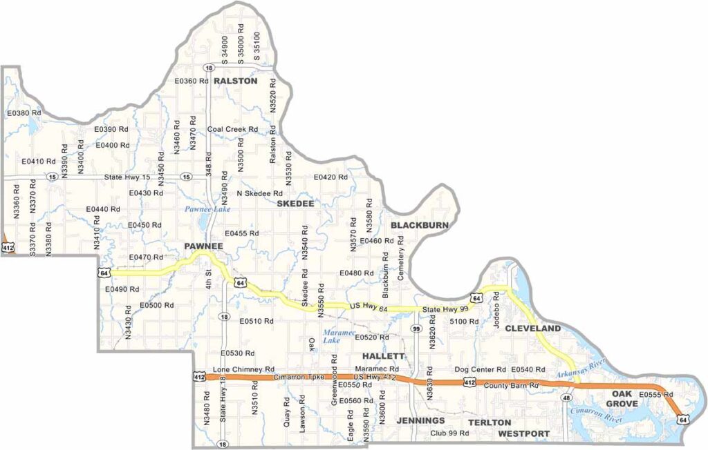
Pawnee County Map, Oklahoma

Pawnee County, Oklahoma

Pawnee County lies in north-central Oklahoma and takes its name from the Pawnee people. The landscape blends prairies with Cross Timbers forests.

Pawnee, the county seat, has Pawnee Lake just to its north, and the town is home to some impressive sandstone buildings.

Ranching and farming are major industries here. The Pawnee Bill Ranch and Museum is a local landmark that celebrates the legacy of Wild West shows. Hunting is popular across the county's rural areas.
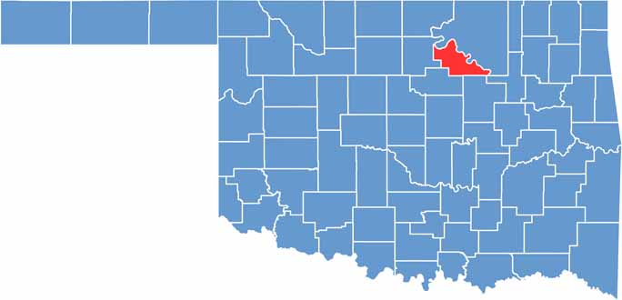

Location map of Pawnee County, Oklahoma
CategoryDetails
County NamePawnee County
County SeatPawnee
EtymologyNamed after the Pawnee Native American tribe
Cities, Towns, and CommunitiesPawnee, Cleveland, Jennings, Hallett, Terlton, Maramec
Interstates and HighwaysU.S. Highway 64, U.S. Highway 412, State Highway 18, State Highway 99
FIPS Code40-117
Total Area (Land and Water)595 square miles (569 sq mi land, 26 sq mi water)
Adjacent Counties (and Direction)Osage County (Northeast), Tulsa County (Southeast), Creek County (South), Payne County (Southwest), Noble County (West)
Time ZoneCentral Time Zone (CST)
StateOklahoma
Coordinates36°21’N, 96°42’W
Major LandmarksPawnee Bill Ranch and Museum, Keystone Lake, Pawnee Lake
PopulationApproximately 17,000
Scroll to Top