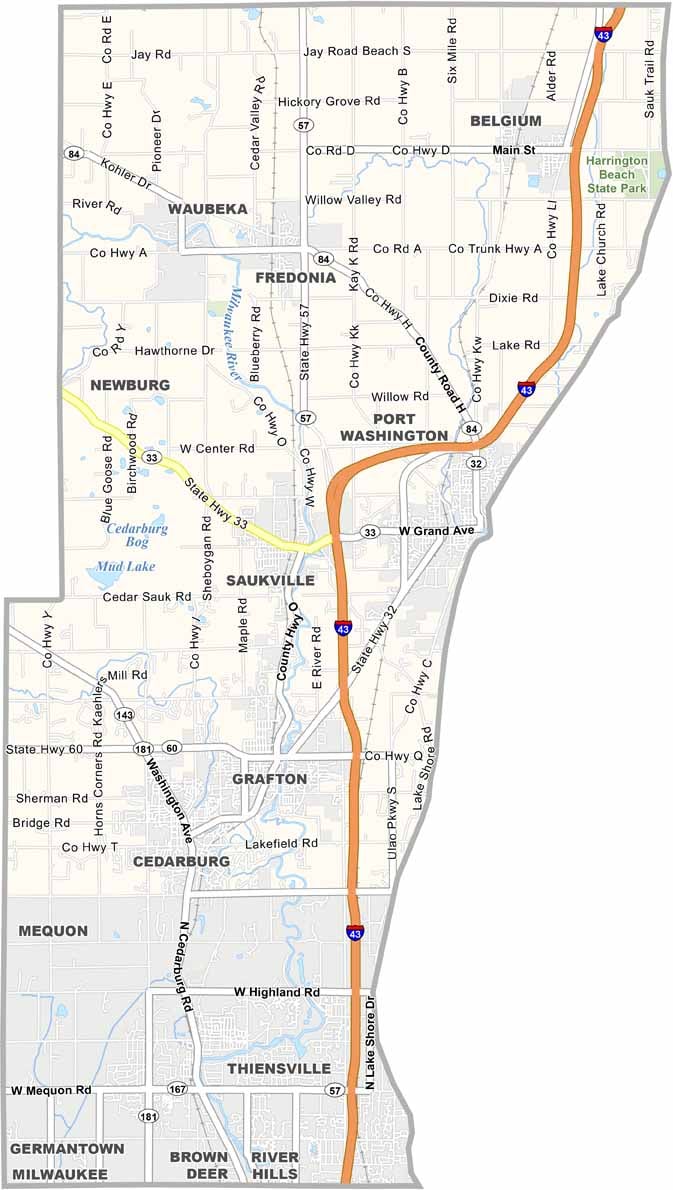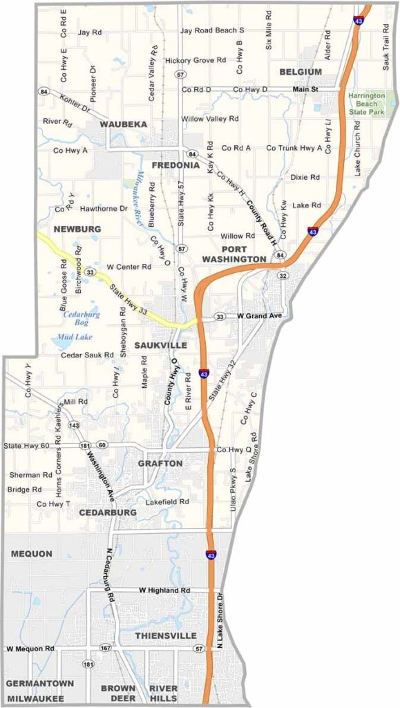
Ozaukee County stretches along the western shore of Lake Michigan, just north of Milwaukee, where suburban neighborhoods blend with peaceful rural countryside. The Ozaukee Interurban Trail runs through much of the county, giving cyclists, walkers, and joggers plenty of space to enjoy the outdoors.
Port Washington serves as the county seat, with a charming harbor that looks like it belongs on a postcard. The county also has plenty of history, while farmland still covers large parts of the countryside. Around here, it’s not uncommon to see an old barn sitting just a short distance from newer suburban developments.
Mequon is the largest city in the county and is well known for its strong schools and comfortable suburban setting. Nature enthusiasts can explore the Cedarburg Bog State Natural Area, one of the largest and most unique wetlands in southern Wisconsin. It’s a county where modern living and Wisconsin’s rural roots fit together surprisingly well.