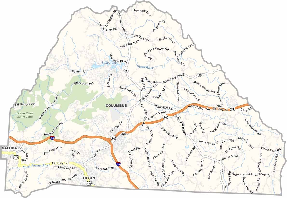
Polk County Map, North Carolina

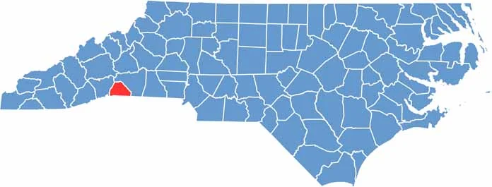
Polk County, North Carolina

Nestled in the foothills of western North Carolina, Polk County is a nature lover’s paradise. It borders South Carolina, and Polk County Line Road forms most of the remaining border.

The county is known for its equestrian culture, and the Tryon International Equestrian Center hosts world-class events. Wineries and cideries are also popping up across the county, taking advantage of the area’s unique microclimate.

Columbus, the county seat, has a small-town feel. Hiking trails abound in the nearby mountains, and the Green River Gorge is a favorite spot for whitewater rafting. Polk County is good at maintaining its rural character.

CategoryDetails
County NamePolk County
County SeatColumbus
EtymologyNamed after William Polk, officer in the American Revolutionary War
Cities, Towns, and CommunitiesColumbus, Tryon, Saluda, Mill Spring
Interstates and HighwaysU.S. Route 74, U.S. Route 176
FIPS Code37-149
Total Area238 square miles (land and water)
Adjacent CountiesRutherford County (Northeast), Spartanburg County, South Carolina (Southeast), Greenville County, South Carolina (Southwest), Henderson County (West)
Time ZoneEastern Time Zone
StateNorth Carolina
Coordinates35.2421° N, 82.2164° W
Major LandmarksTryon International Equestrian Center, Polk County Historical Museum
PopulationApproximately 22,000
Scroll to Top