
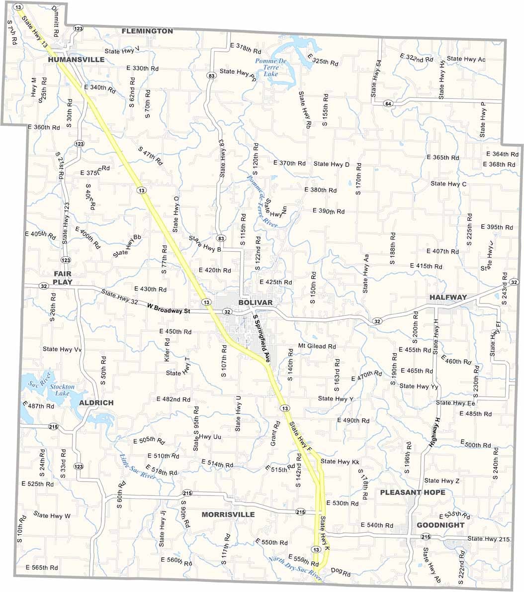
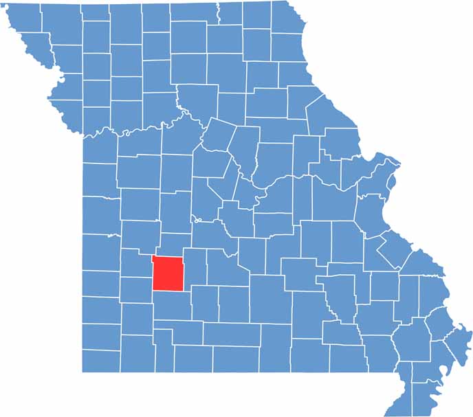
Polk County is located in southwestern Missouri in the heart of the Ozarks, just a short drive from Springfield. Bolivar, the county’s largest city, serves as the region’s educational and commercial center and is home to Southwest Baptist University.
Outdoor recreation is one of the county’s greatest attractions. Stockton Lake draws visitors from across the region for fishing, boating, sailing, and camping. Nearby Pomme de Terre Lake also offers excellent opportunities for water sports, fishing, and enjoying the natural beauty of the Ozarks.
Polk County has a rich agricultural history that continues to shape its identity today. While the area was once known for its thriving apple orchards, cattle ranching and farming now play a larger role in the local economy

Wright County Map Missouri

Worth County Map Missouri
Wayne County Map Missouri
Warren County Map Missouri
Washington County Map Missouri
