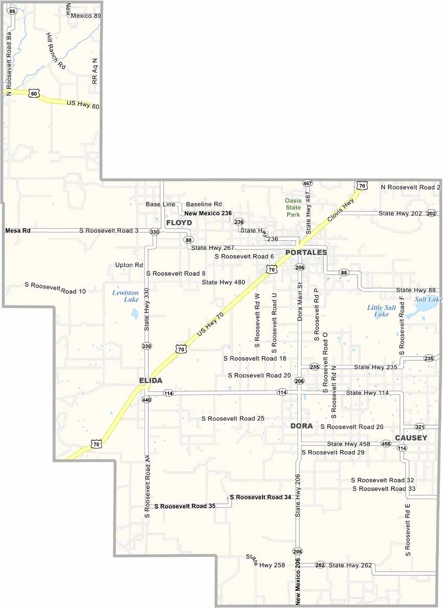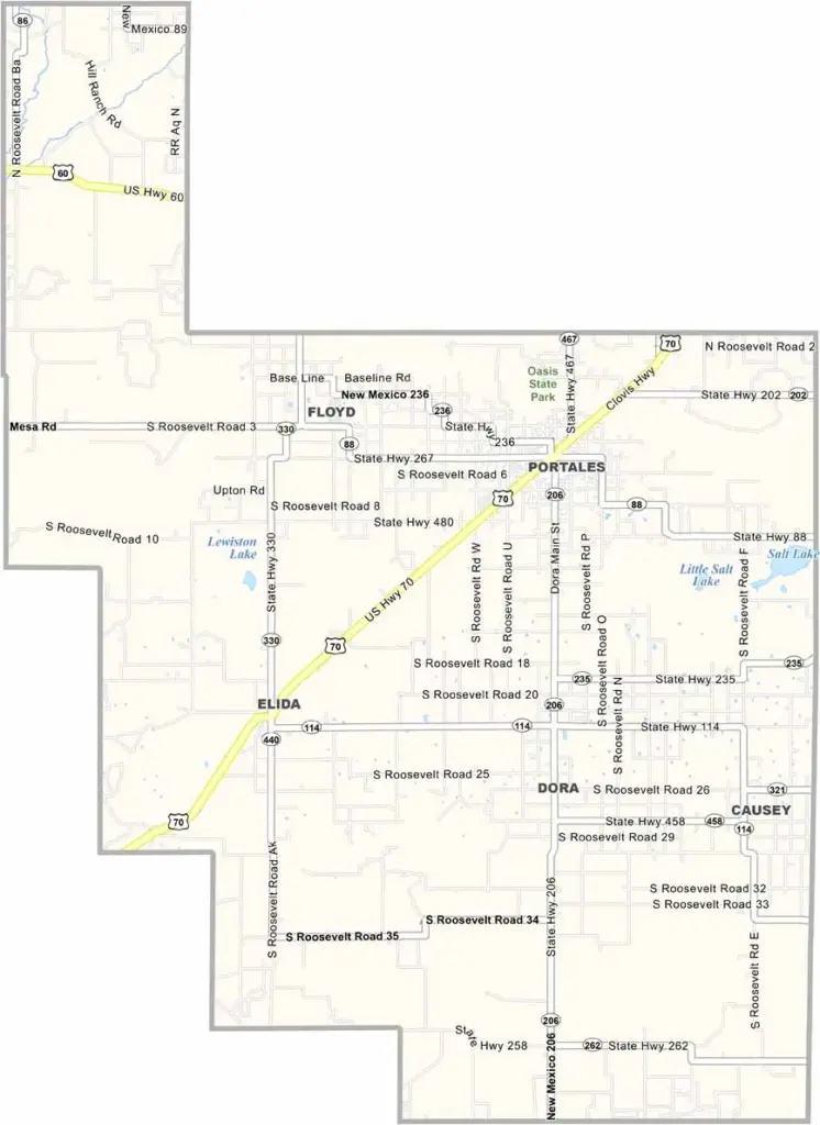
Roosevelt County Map, New Mexico

Roosevelt County, New Mexico

Roosevelt County sits along the eastern edge of New Mexico, right next to Texas. This is straightforward farm country, with fields of peanuts, cotton, and sorghum stretching as far as the eye can see.

Portales, the county seat, is home to Eastern New Mexico University. The county also has deep roots in dairy farming and is one of the state’s leading milk producers. Cannon Air Force Base is nearby, so military aircraft are a common sight overhead.

The landscape is mostly flat, but it has a beauty of its own. Blackwater Draw, an important archaeological site, is located here and is known for evidence of the Clovis people.
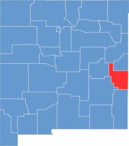

Roosevelt County location map of New Mexico
CategoryDetails
County NameRoosevelt County
County SeatPortales
EtymologyNamed after Theodore Roosevelt, 26th President of the United States
Cities, Towns, and CommunitiesPortales, Elida, Dora
Interstates and HighwaysU.S. Route 70, New Mexico State Road 206
FIPS Code35-041
Total Area (Land and Water)2,455 square miles (2,447 sq mi land, 8 sq mi water)
Adjacent Counties (and Direction)Curry County (North), Quay County (North), De Baca County (West), Chaves County (West), Lea County (South), Cochran County, Texas (Southeast), Bailey County, Texas (East)
Time ZoneMountain Time Zone (MT)
StateNew Mexico
Coordinates34.1598° N, 103.4123° W
Major LandmarksBlackwater Draw National Historic Landmark, Oasis State Park, Eastern New Mexico University
PopulationApproximately 19,000
Scroll to Top