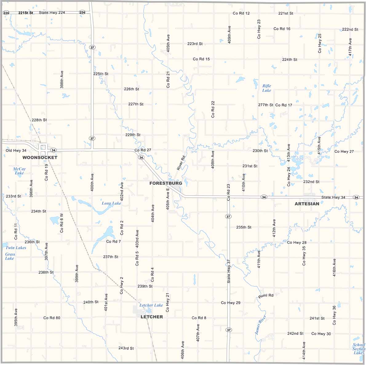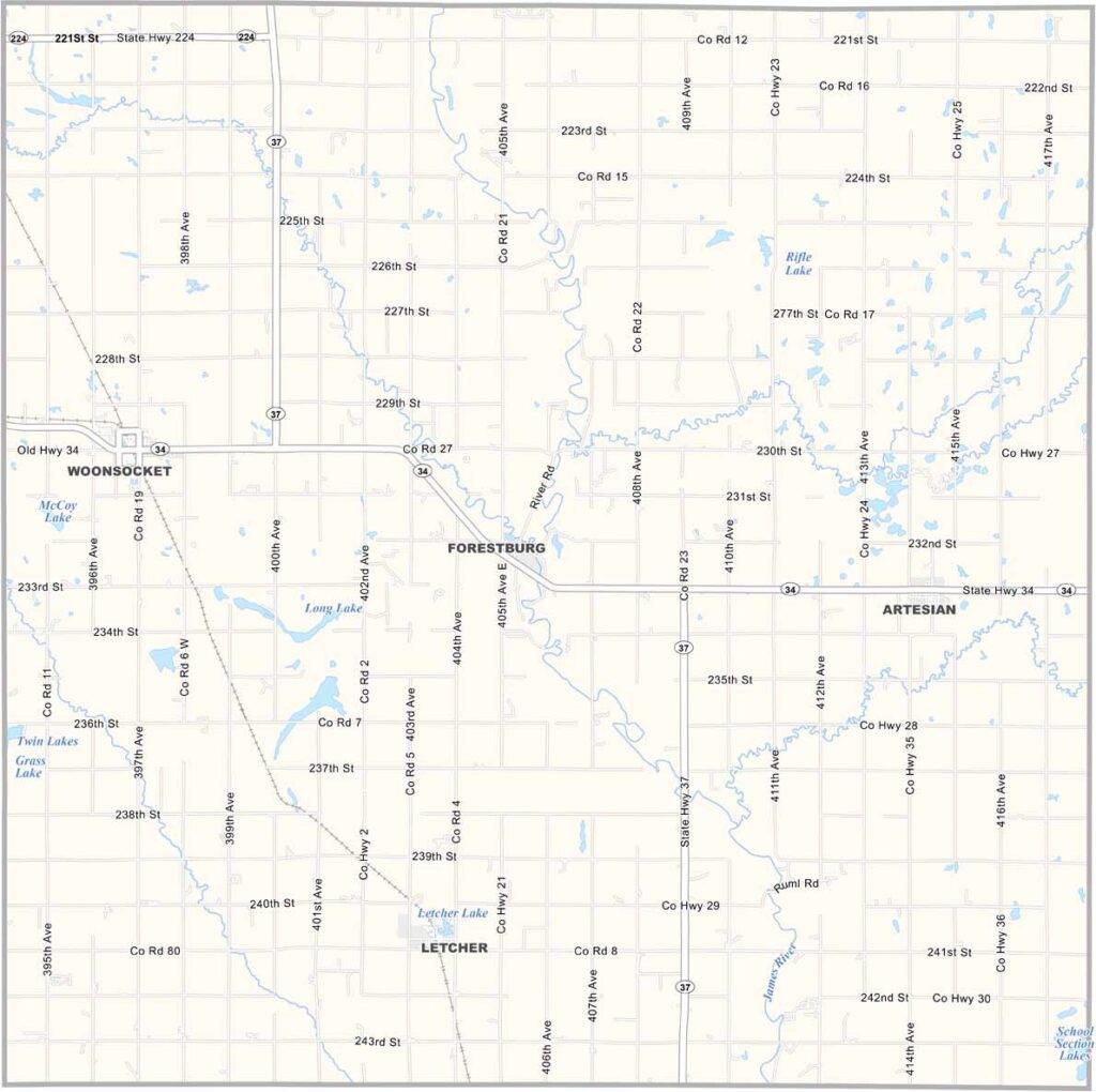
Sanborn County Map, South Dakota

Sanborn County, South Dakota

Sanborn County sits in the heart of South Dakota. The James River Valley cuts through the county, while Woonsocket serves as the county seat in the west.

Fertile soil makes the area well suited for farming, with corn and soybeans as the main crops. This is the Prairies in a nutshell. But there’s more to the county than agriculture.

The county has character. Old buildings tell stories of early pioneers. It’s quiet most of the time, and that’s how folks like it. Community ties run deep throughout these parts.
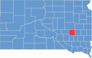

Sanborn County location map of South Dakota
CategoryDetails
County NameSanborn County
County SeatWoonsocket
EtymologyNamed after George W. Sanborn, a railroad executive
Cities, Towns, and CommunitiesWoonsocket, Letcher, Artesian
Interstates and HighwaysState Highway 34, State Highway 37
FIPS Code46-111
Total Area (Land and Water)570 square miles (569 sq mi land, 1 sq mi water)
Adjacent Counties (and Direction)Beadle County (North), Kingsbury County (Northeast), Miner County (East), Hanson County (Southeast), Davison County (South), Aurora County (Southwest), Jerauld County (West)
Time ZoneCentral Time Zone (CST)
StateSouth Dakota
Coordinates44°02’N, 98°13’W
Major LandmarksLake Prior, Sanborn County Courthouse, Woonsocket Opera House
PopulationApproximately 2,300
Scroll to Top