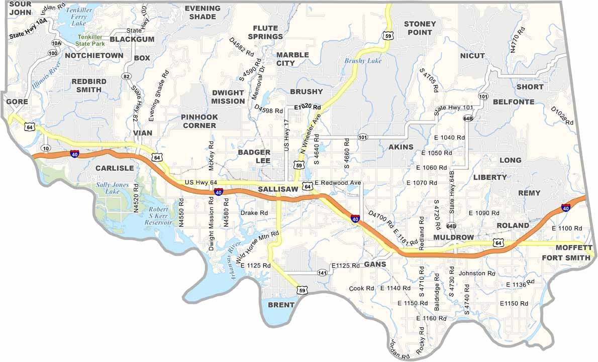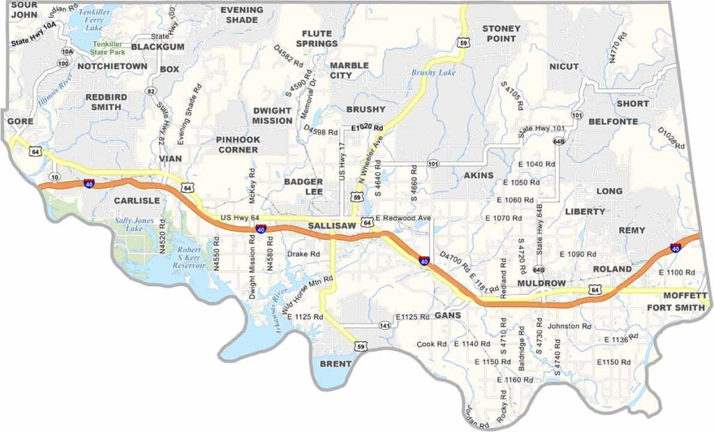
Sequoyah County Map, Oklahoma

Sequoyah County, Oklahoma

Sequoyah County stretches along the Arkansas border in eastern Oklahoma. Sallisaw serves as the county seat and is a friendly little city with a surprising amount going on.

The Ozark Mountains begin to make their presence known here. The county is named after the Cherokee scholar who created a writing system for his people.

Lake Tenkiller is a major attraction, with clear water and forested shores. The Illinois River is also popular for floating and fishing. Agriculture remains important, while tourism continues to grow.
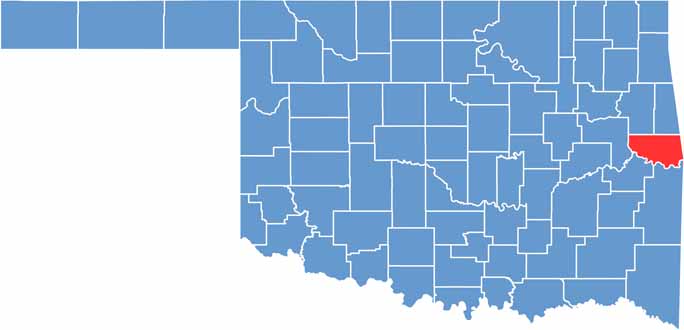

Location map of Sequoyah County, Oklahoma
CategoryDetails
County NameSequoyah County
County SeatSallisaw
EtymologyNamed after Sequoyah, the Cherokee scholar who created the Cherokee syllabary
Cities, Towns, and CommunitiesSallisaw, Muldrow, Roland, Vian, Gore, Marble City, Brushy
Interstates and HighwaysInterstate 40, U.S. Highway 59, U.S. Highway 64, State Highway 101
FIPS Code40-135
Total Area (Land and Water)714 square miles (673 sq mi land, 41 sq mi water)
Adjacent Counties (and Direction)Cherokee County (North), Adair County (North), Crawford County, Arkansas (East), Sebastian County, Arkansas (Southeast), Le Flore County (South), Haskell County (Southwest), Muskogee County (West)
Time ZoneCentral Time Zone (CST)
StateOklahoma
Coordinates35°30’N, 94°47’W
Major LandmarksSequoyah’s Cabin, Tenkiller Ferry Lake, Brushy Lake State Park, Dwight Mission
PopulationApproximately 41,000
Scroll to Top