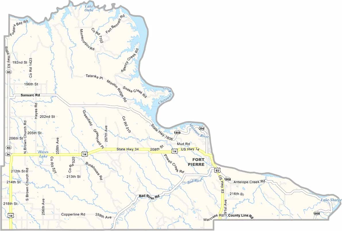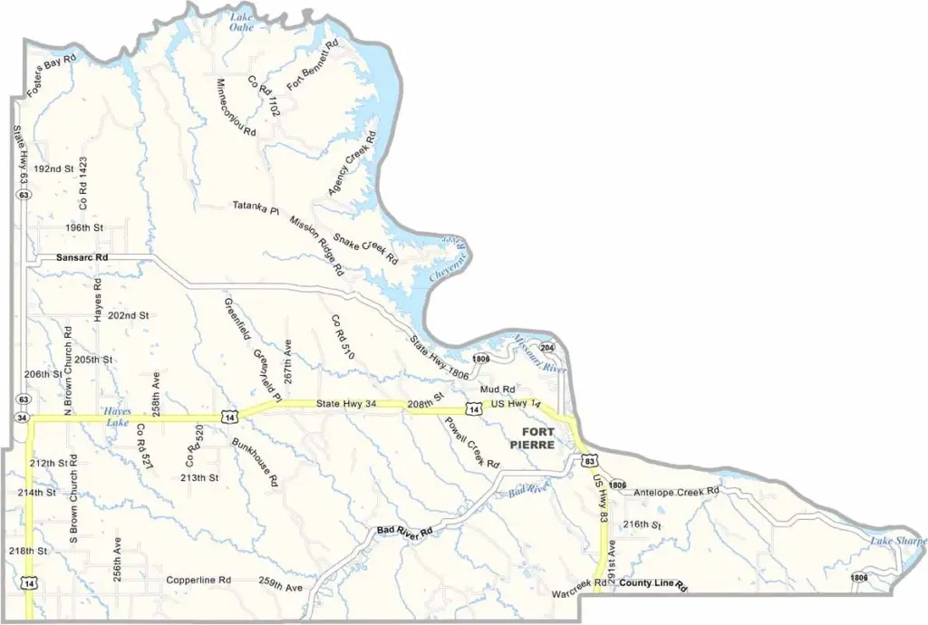
Stanley County Map, South Dakota

Stanley County, South Dakota

Stanley County lies in the geographic center of South Dakota. The Missouri River forms its eastern border, while Fort Pierre serves as the county seat and has a rich history.

Lewis and Clark passed through the area. Today, it’s a hub for outdoor recreation, with plenty of opportunities for fishing, boating, and hunting. The landscape is varied.

Rolling hills give way to flat prairies. Ranching and tourism drive the local economy, while the annual Casey Tibbs Matched Bronc Ride is a major draw.
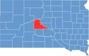

Stanley County location map of South Dakota
CategoryDetails
County NameStanley County
County SeatFort Pierre
EtymologyNamed after David S. Stanley, commander of Fort Sully
Cities, Towns, and CommunitiesFort Pierre, Hayes, Wendte
Interstates and HighwaysU.S. Highway 14, U.S. Highway 83
FIPS Code46-117
Total Area (Land and Water)1,517 square miles (1,444 sq mi land, 73 sq mi water)
Adjacent Counties (and Direction)Dewey County (North), Sully County (Northeast), Hughes County (East), Lyman County (Southeast), Jones County (South), Haakon County (West), Ziebach County (Northwest)
Time ZoneCentral Time Zone (CST)
StateSouth Dakota
Coordinates44°23’N, 100°24’W
Major LandmarksOahe Dam, Fort Pierre National Grassland, Verendrye Monument
PopulationApproximately 3,000
Scroll to Top