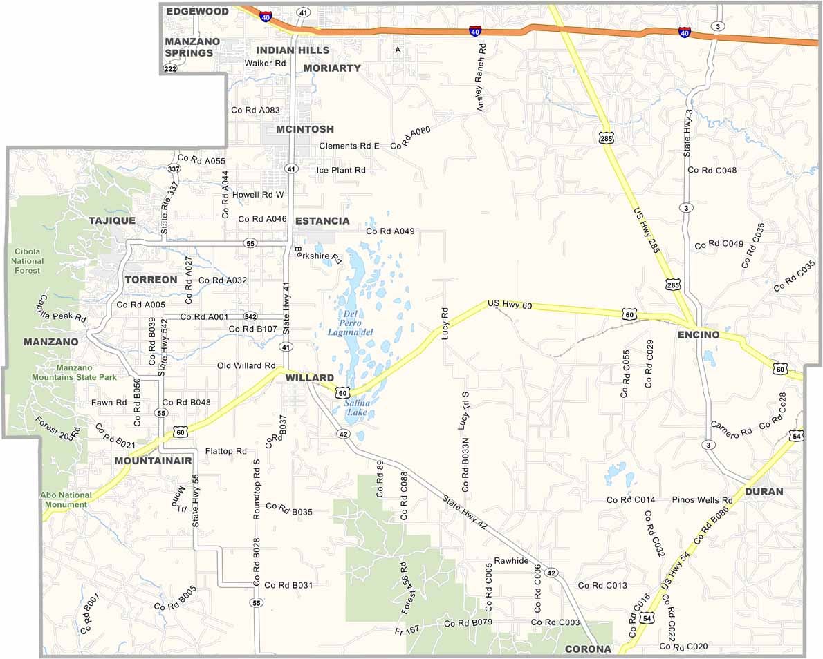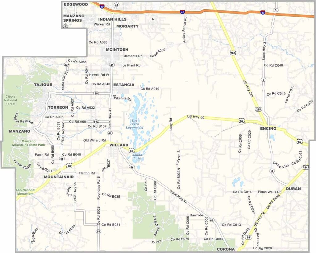
Torrance County Map, New Mexico

Torrance County, New Mexico

Torrance County sits in the heart of New Mexico, where the plains meet the mountains. Estancia serves as the county seat, offering small-town charm beneath wide-open skies. The area also has a long history, with ancient pueblos, Spanish missions, and other reminders of the past.

The Salt Lakes are one of the county’s most unusual features. They are remnants of an ancient inland sea. Mountainair, another community in the county, is known as the “Gateway to Ancient Cities.” In the southwest, Salinas Pueblo Missions National Monument offers a fascinating glimpse into the region’s past.

Agriculture remains important, with pinto beans being one of the major crops. The county also has some of the darkest skies in the country, making it popular with stargazers. Manzano Mountains State Park provides opportunities for hiking, camping, and picnicking.
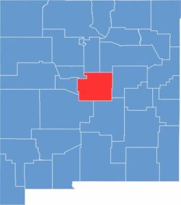

Torrance County location map of New Mexico
CategoryDetails
County NameTorrance County
County SeatEstancia
EtymologyNamed after Francis J. Torrance, a prominent rancher and politician
Cities, Towns, and CommunitiesEstancia, Moriarty, Mountainair, Willard
Interstates and HighwaysInterstate 40, U.S. Route 60, U.S. Route 285, New Mexico State Road 41
FIPS Code35-057
Total Area (Land and Water)3,346 square miles (3,344 sq mi land, 2 sq mi water)
Adjacent Counties (and Direction)Santa Fe County (North), San Miguel County (North), Guadalupe County (East), Lincoln County (South), Socorro County (South), Valencia County (West), Bernalillo County (Northwest)
Time ZoneMountain Time Zone (MT)
StateNew Mexico
Coordinates34.7438° N, 105.9974° W
Major LandmarksSalinas Pueblo Missions National Monument, Manzano Mountains State Park, Quarai Ruins
PopulationApproximately 16,000
Scroll to Top