Van Buren County, Iowa

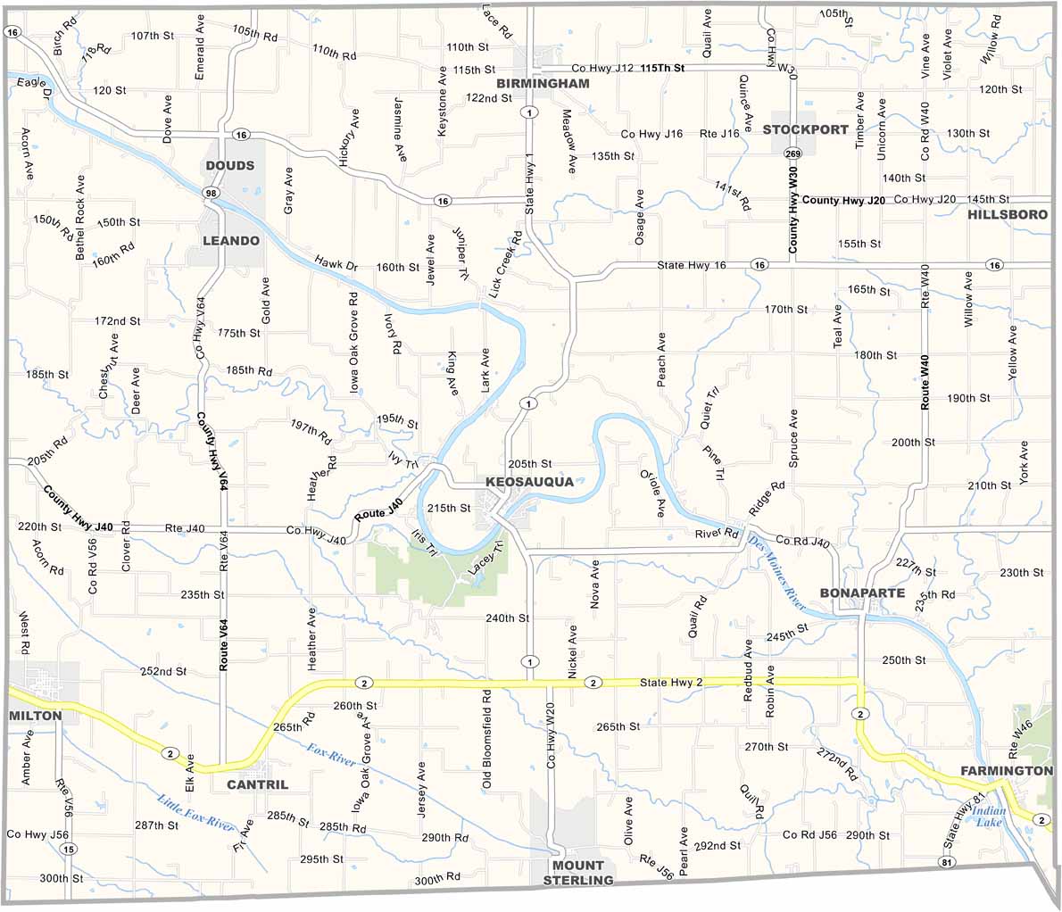
Van Buren County borders Missouri along Iowa’s southeastern edge. Named after President Martin Van Buren, the county is rich in history.

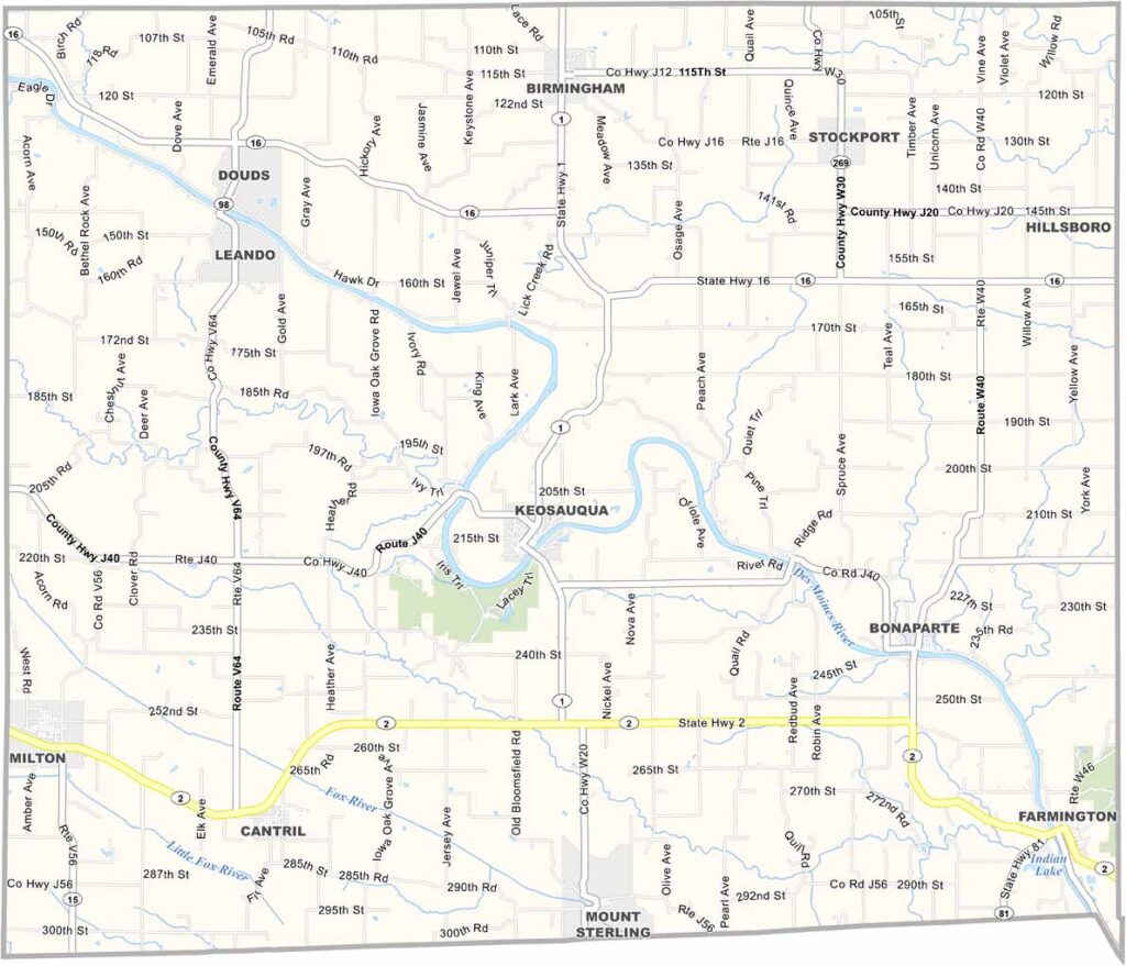
Keosauqua serves as the county seat and sits along a horseshoe bend of the Des Moines River. It is part of the “Villages of Van Buren” tourism area.

Lacey-Keosauqua State Park, one of Iowa’s oldest state parks, offers scenic hiking trails along the river bluffs. With only about 7,000 residents, Van Buren County is the definition of rural Iowa.
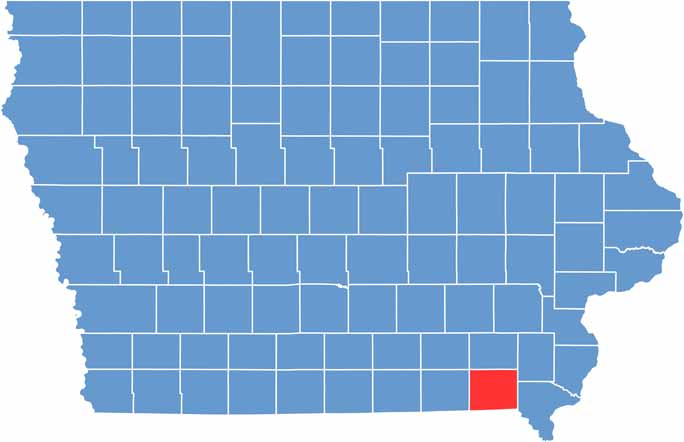

CategoryDetails
County NameVan Buren County
County SeatKeosauqua
EtymologyNamed in honor of Martin Van Buren, 8th President of the United States
Cities, Towns, and CommunitiesKeosauqua, Bonaparte, Farmington, and several smaller communities
Interstates and HighwaysU.S. Highway 61, Iowa Highway 2
FIPS Code19-177
Total Area (Land and Water)833 square miles (land: 827 sq mi, water: 6 sq mi)
Adjacent Counties (and Direction)Jefferson County (North), Henry County (Northeast), Lee County (East), Clark County, Missouri (Southeast), Scotland County, Missouri (Southwest), Davis County (West)
Time ZoneCentral Time Zone (CST)
Population7,000
StateIowa
Coordinates40.75°N, 91.93°W
Major LandmarksLacey-Keosauqua State Park, Van Buren County Courthouse, and the Bonaparte Pottery
Scroll to Top