Webster County, Iowa

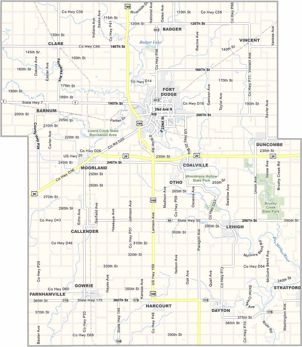
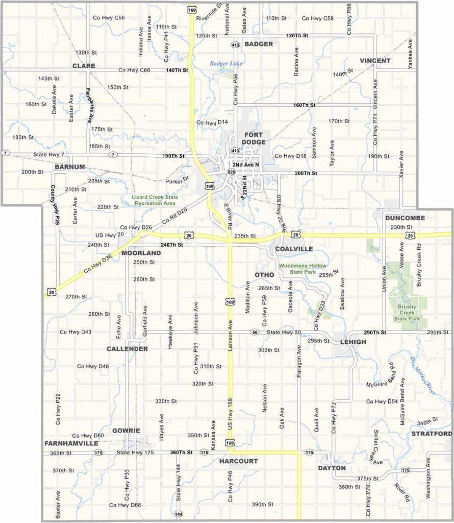
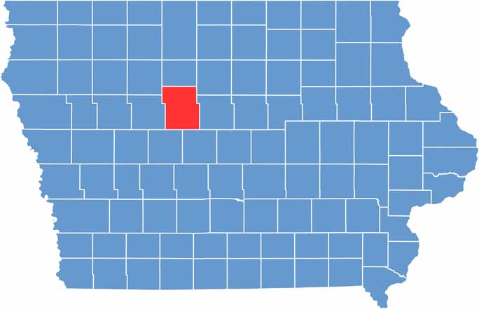
Webster County is located in north-central Iowa. The Des Moines River runs diagonally through the county, which has a mix of industry and agriculture.

Fort Dodge serves as the county seat and anchors the area. It was originally established as a military outpost. Duncombe, Lehigh, and Gowrie are some of the county’s other major communities.

The county is named after statesman Daniel Webster. Brushy Creek State Recreation Area offers more than 6,000 acres for outdoor activities. Visitors can enjoy hunting, horseback riding, and much more.

CategoryDetails
County NameWebster County
County SeatFort Dodge
EtymologyNamed after Daniel Webster, an American statesman
Cities, Towns, and CommunitiesFort Dodge, Duncombe, Lehigh, Gowrie, and several smaller communities
Interstates and HighwaysInterstate 35, Interstate 80, U.S. Highway 20, U.S. Highway 169
FIPS Code19-187
Total Area (Land and Water)715 square miles (land: 711 sq mi, water: 4 sq mi)
Adjacent Counties (and Direction)Boone County (Southeast), Calhoun County (West), Greene County (Southwest), Hamilton County (East), Humboldt County (North), Pocahontas County (Northwest), Wright County (Northeast)
Time ZoneCentral Time Zone (CST)
Population39,000
StateIowa
Coordinates42.49°N, 94.17°W
Major LandmarksFort Dodge Historic District, Blanden Memorial Art Museum, and the Webster County Fairgrounds
Scroll to Top