
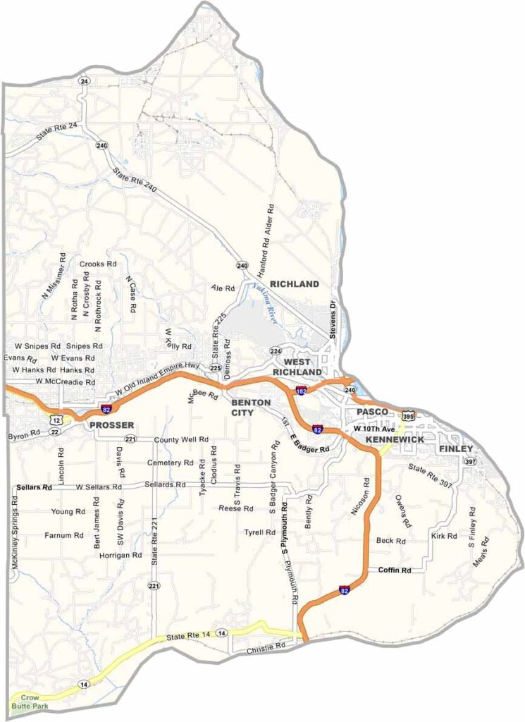
Benton County lies in south-central Washington and is home to the Tri-Cities region of Kennewick, Pasco, and Richland. Together, these communities make up the center of the county and serve as major hubs for the area.
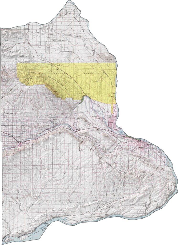
The county is a place where technology and agriculture come together. Vineyards, orchards, and farmland cover much of the landscape, while the Hanford Site, once a major center for nuclear production, is now dedicated largely to environmental cleanup.
The Columbia River forms much of Benton County’s border and draws locals for fishing, boating, and other water activities. The area has a rich history, from Native American communities to the journey of Lewis and Clark. Today, Benton County offers a comfortable mix of rural scenery, growing cities, and modern amenities.
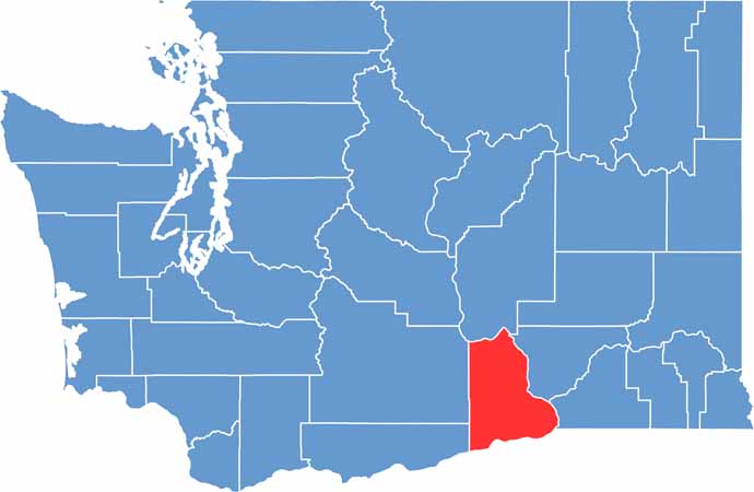
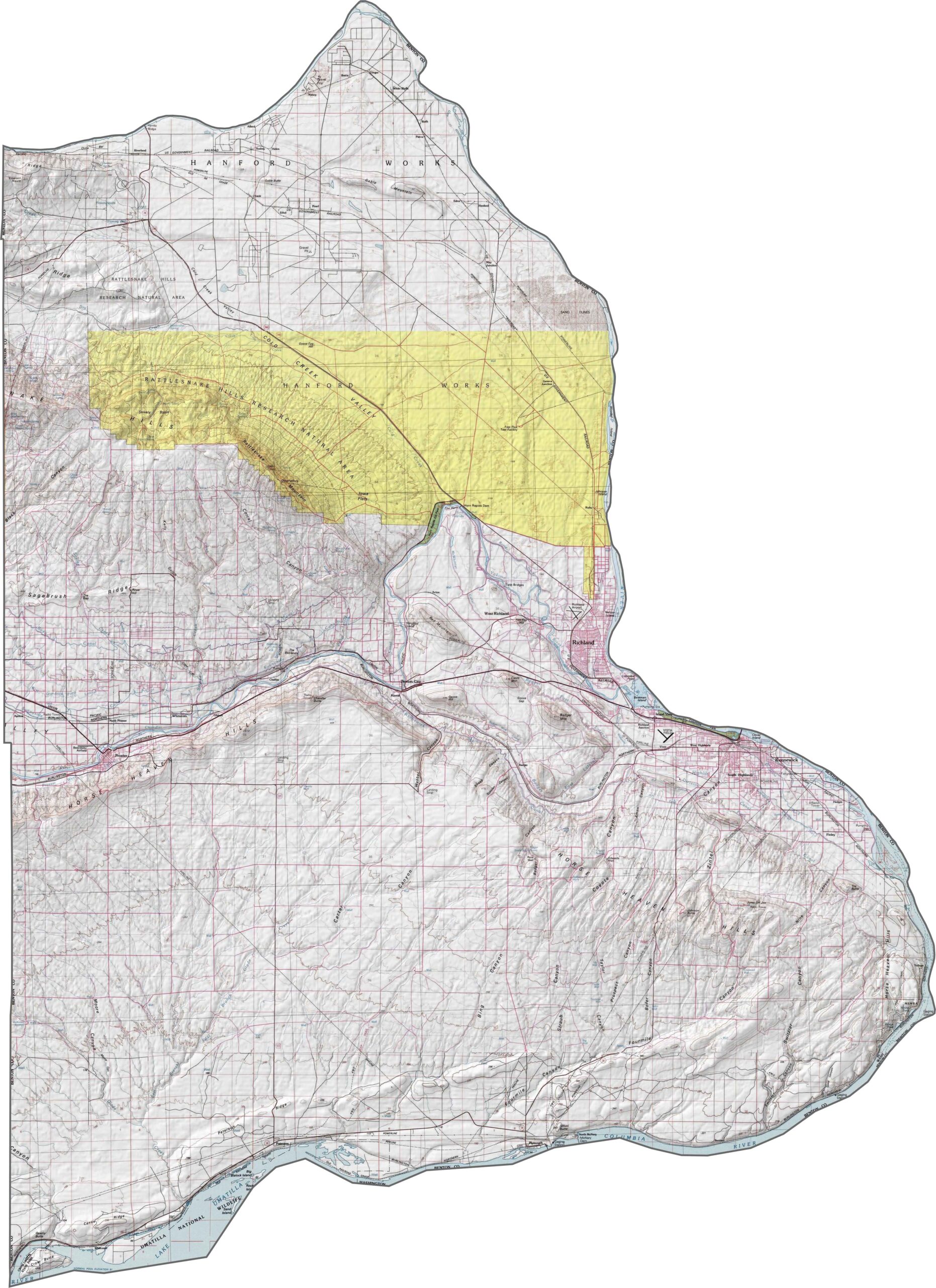
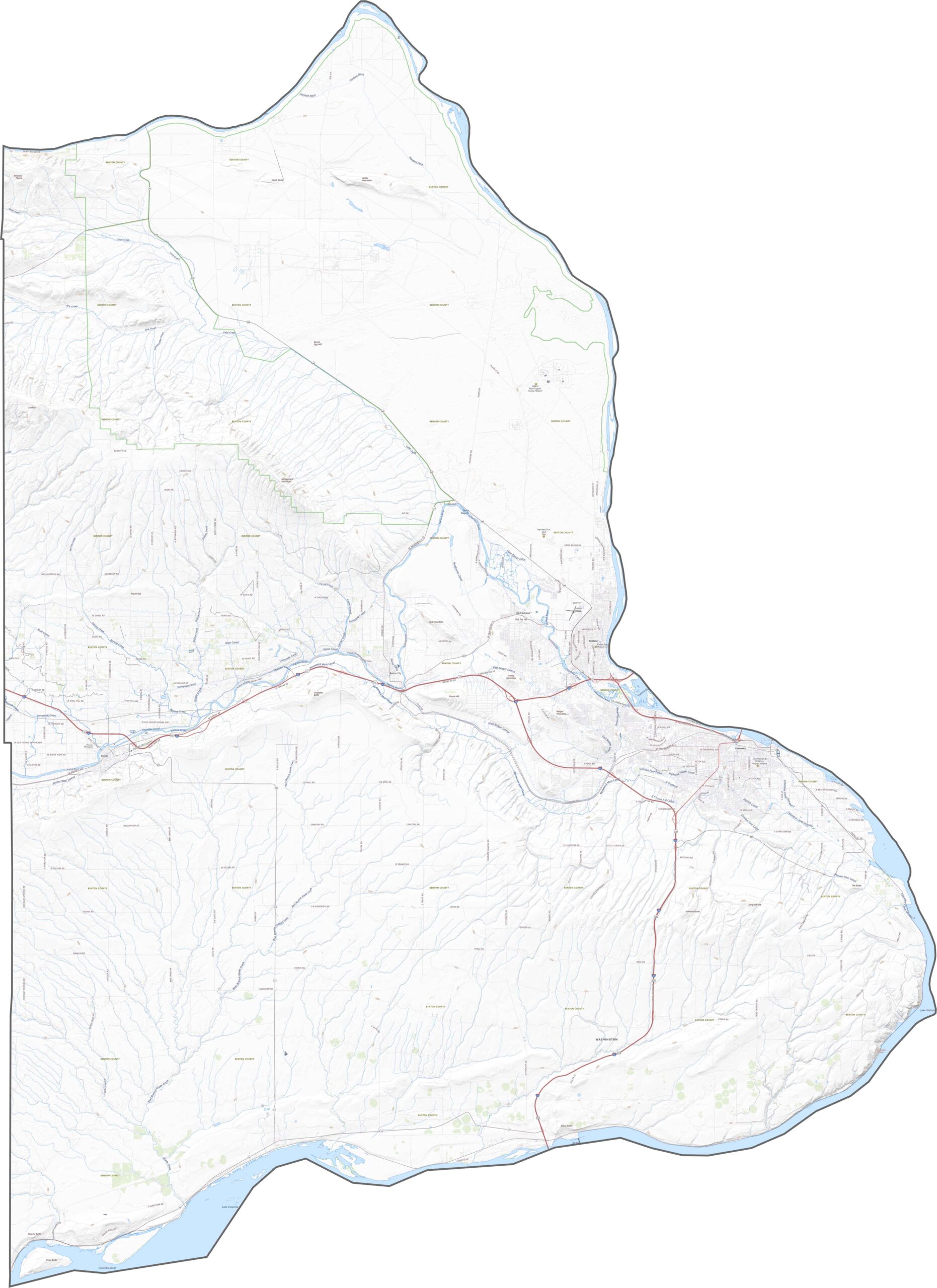
Benton County is shaped by its rivers, arid hills, and dry desert landscape. Rivers surround much of the county, creating distinctive natural boundaries, while the western side is the main exception. Although most of the terrain is dry, the landscape changes noticeably around the Columbia River and other waterways, where the scenery becomes more varied.
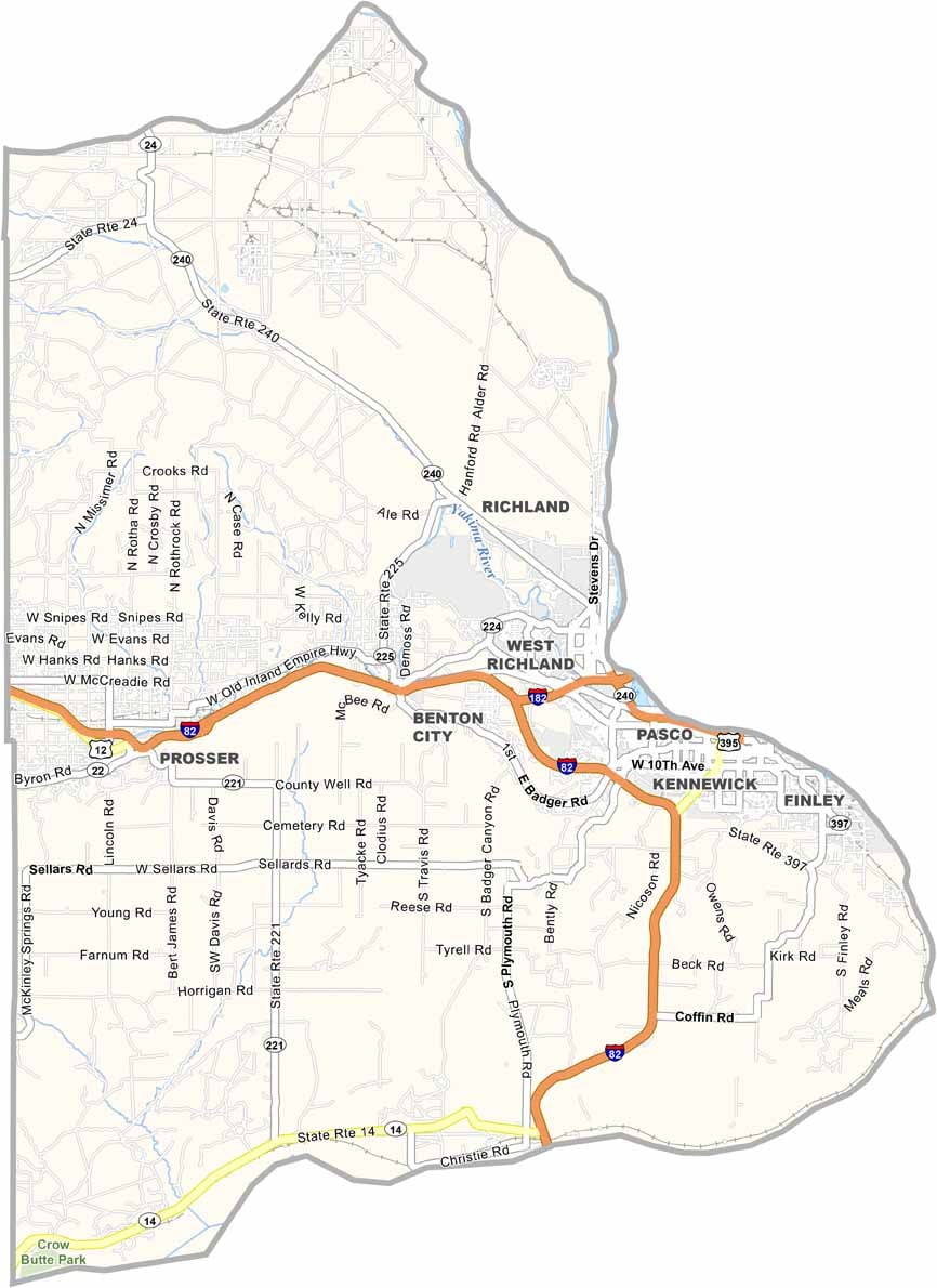
The county also has a well-developed road network that connects its major communities and surrounding regions. Interstate 82 runs through Benton County, linking the Tri-Cities with Yakima and Oregon. Local routes such as Highway 240 are also important, providing key north-south connections across the county.
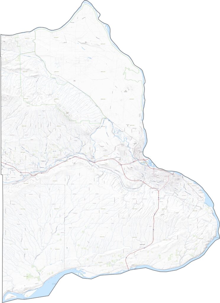
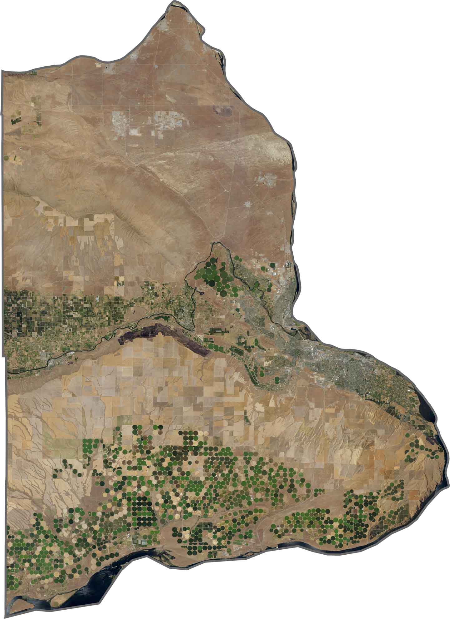
In our Benton County satellite map, the most noticeable feature is the pattern of circular irrigated farmland, especially across the southern part of the county. These green circles highlight the region’s extensive agricultural activity and irrigation-based farming.
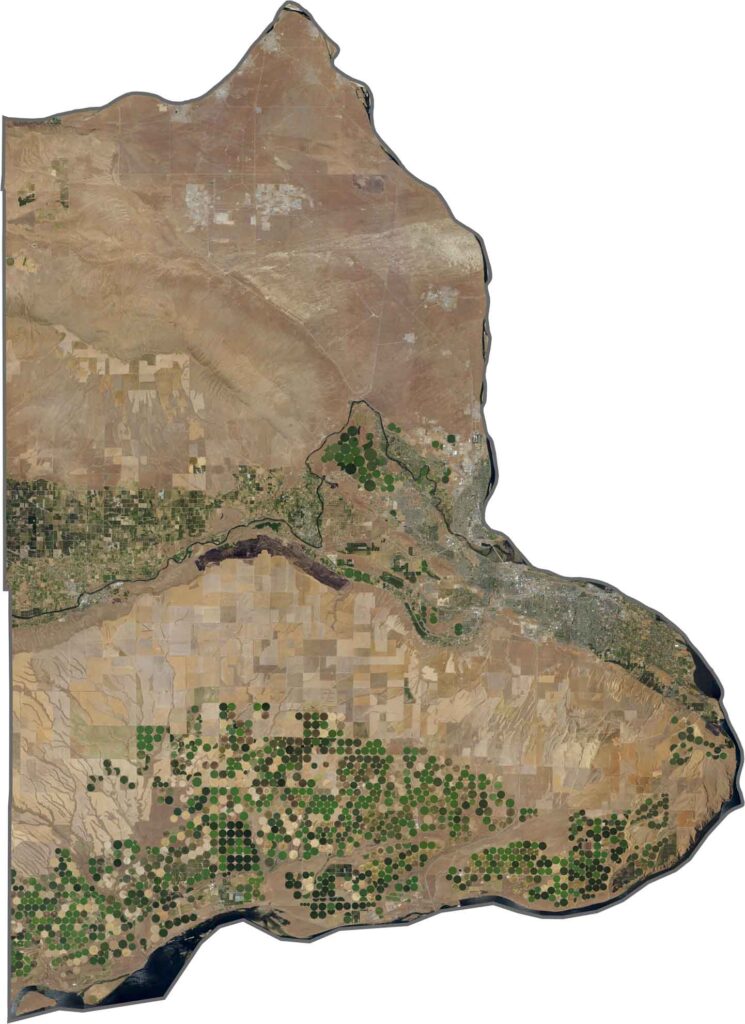
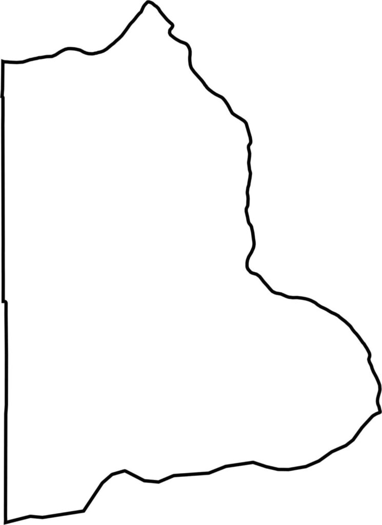
Benton County has a wide, irregular shape, with rivers forming much of its boundaries. The Columbia River marks large portions of the southern and eastern edges, while Oregon lies directly across the river to the south.






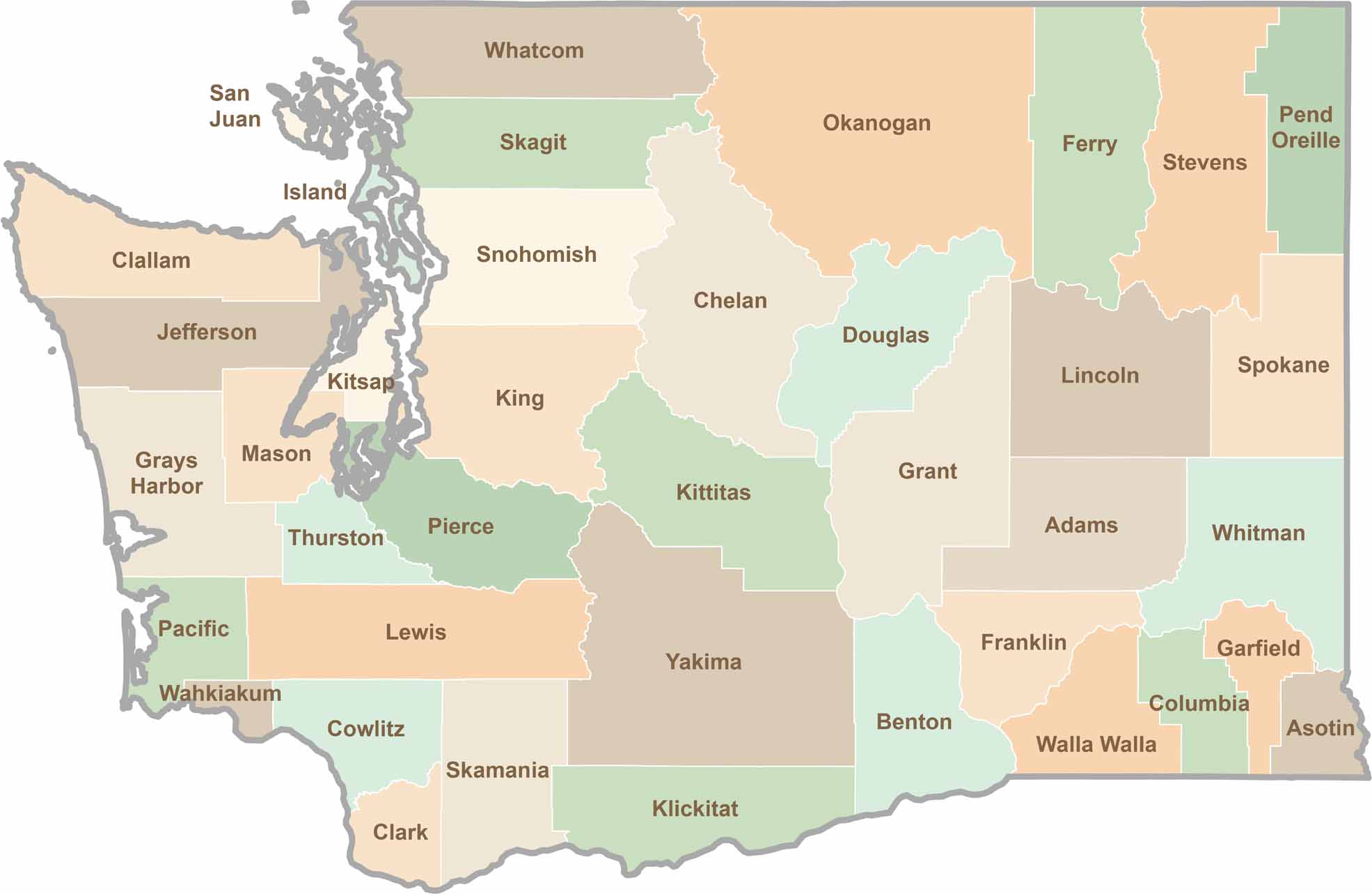
Seattle may get most of the attention, but the rest of Washington State is where the wild truly shines. From rugged Pacific coastlines and lush forests to towering mountain ranges, Washington’s 39 counties offer an incredible variety of landscapes, communities, and outdoor adventures. Explore them all and find your favorite place in Washington.