Wright County, Iowa

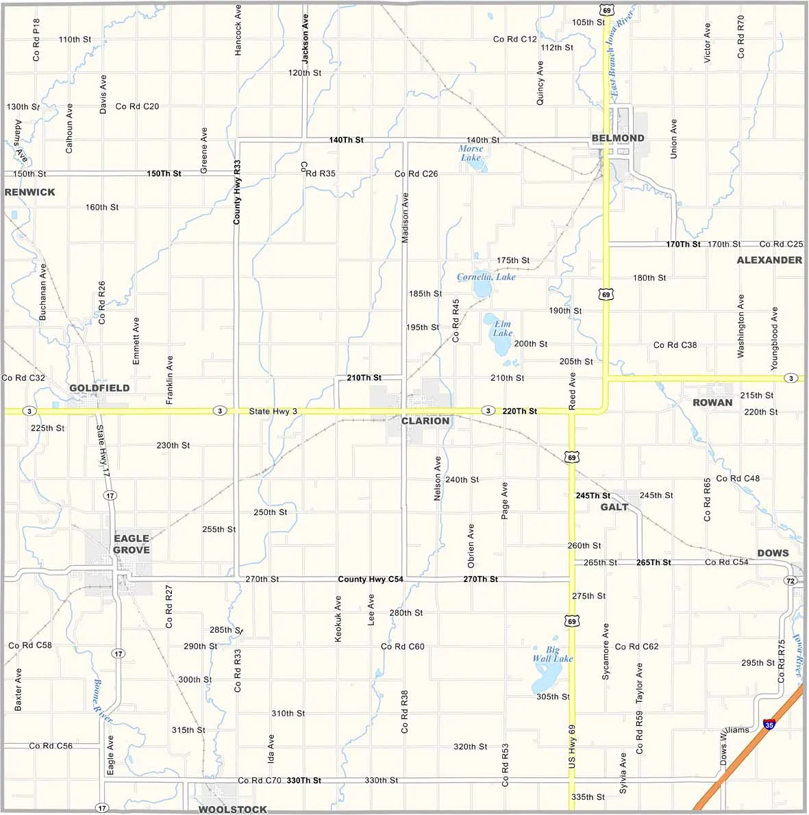
Wright County is located in north-central Iowa. It was once nicknamed the “Creamery Capital of Iowa” because of its numerous dairy processing plants.

The Heartland Museum in Clarion preserves the area’s agricultural history. Interestingly, Wright County is also home to several large wind farms, reflecting Iowa’s growing renewable energy sector.

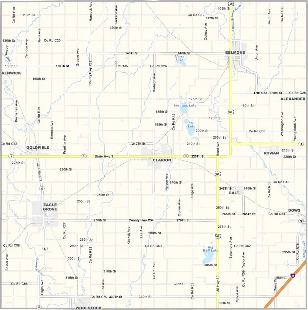
The county is named after Silas Wright, a governor of New York. While Lake Cornelia offers opportunities for fishing and camping, the Boone River winds through the county and is better suited for canoeing and kayaking.
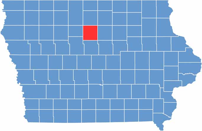

CategoryDetails
County NameWright County
County SeatClarion
EtymologyNamed in honor of Silas Wright, former New York Governor
Cities, Towns, and CommunitiesClarion, Eagle Grove, Belmond, and several smaller communities
Interstates and HighwaysU.S. Highway 69, Iowa Highway 3, Iowa Highway 44
FIPS Code19-197
Total Area (Land and Water)580 square miles (land: 575 sq mi, water: 5 sq mi)
Adjacent Counties (and Direction)Hancock County (North), Cerro Gordo County (Northeast), Franklin County (East), Hardin County (Southeast), Hamilton County (South), Webster County (Southwest), Humboldt County (West), Kossuth County (Northwest)
Time ZoneCentral Time Zone (CST)
Population13,200
StateIowa
Coordinates42.73°N, 93.73°W
Major LandmarksWright County Courthouse, the Belmond Historical Museum, and the Eagle Grove City Park
Scroll to Top