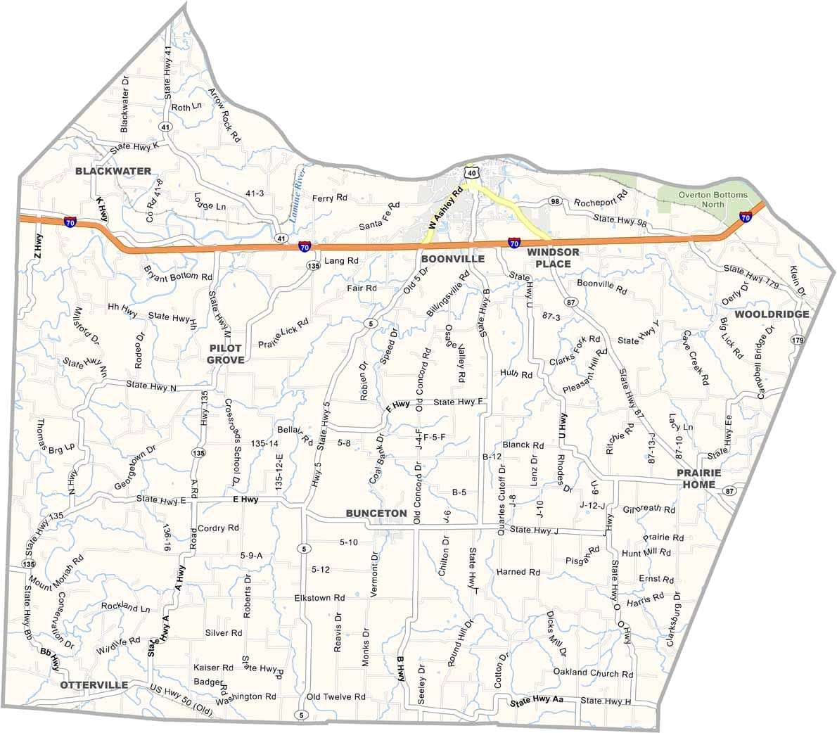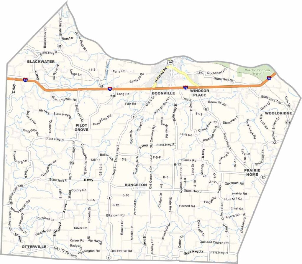
Cooper County, Missouri

Boonville is the largest town in Cooper County, though it remains fairly small. The county sits in central Missouri along the Missouri River.

Farming drives much of the local economy. The Katy Trail passes through, attracting cyclists and hikers. The annual Boonville Heritage Days festival is a highlight, with a parade and BBQ that bring out the whole town.

Cooper County was settled in the early 1800s, and remnants of that history remain in the old buildings around the courthouse square.
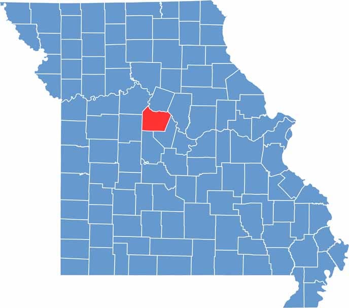

Cooper County Location Map Missouri
Category Details
County Name Cooper County
County Seat Boonville
Cities, Towns, and Communities Boonville, Pilot Grove, Bunceton, Otterville, Prairie Home
Interstates and Highways I-70, US 40, MO 5, MO 87
Population Approximately 17,000
FIPS Code 29-053
Total Area (Land and Water) 267 square miles (Land: 267 sq mi, Water: 0.3 sq mi)
Time Zone Central Time Zone (CT)
State Missouri
Coordinates 38.8793° N, 92.8029° W
Etymology Named after Sarshel Cooper, a frontier settler
Major Landmarks Katy Trail State Park, Thespian Hall, Cooper’s Oak Winery, Isle of Capri Casino
Adjacent Counties (and Direction) Howard County (North), Boone County (Northeast), Moniteau County (Southeast), Morgan County (South), Pettis County (West), Saline County (Northwest)
Scroll to Top