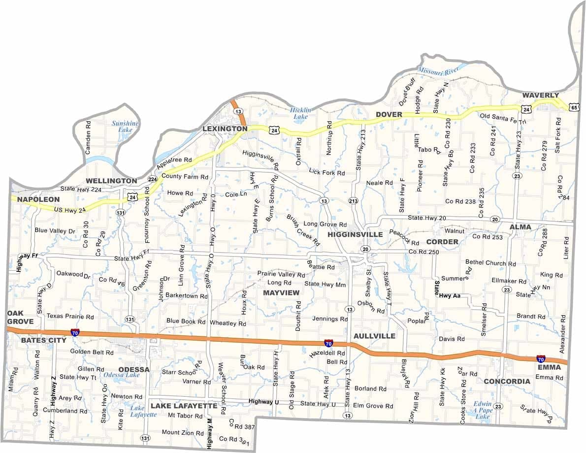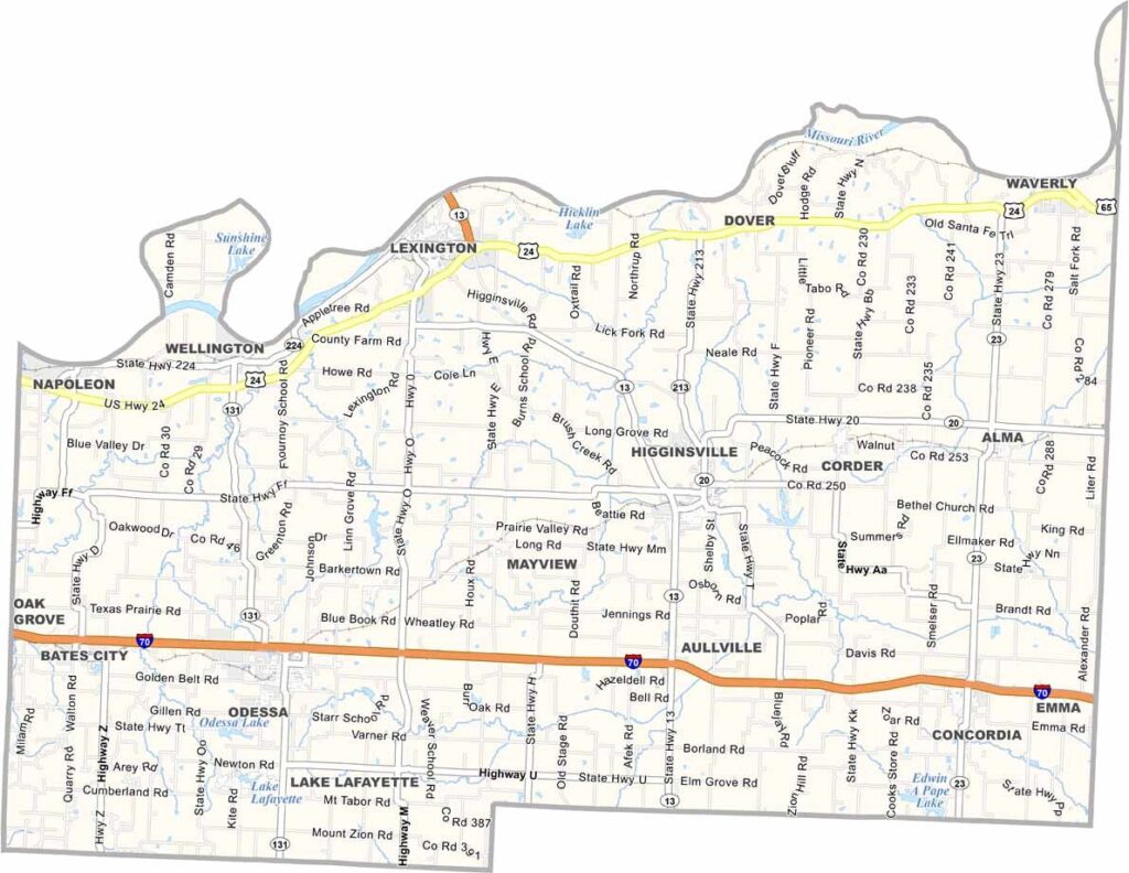
Lafayette County, Missouri

Lafayette County lies just east of Kansas City in western Missouri and is known for having some of the most productive farmland in the state.

The Missouri River forms the county’s northern boundary, contributing to its natural beauty and agricultural success. Farming remains a cornerstone of the local economy, and community festivals celebrate everything from apples to antiques.

The county seat, Lexington, is rich in Civil War history. One of its most notable landmarks is the historic courthouse, where cannonballs from wartime battles can still be seen embedded in the columns today.
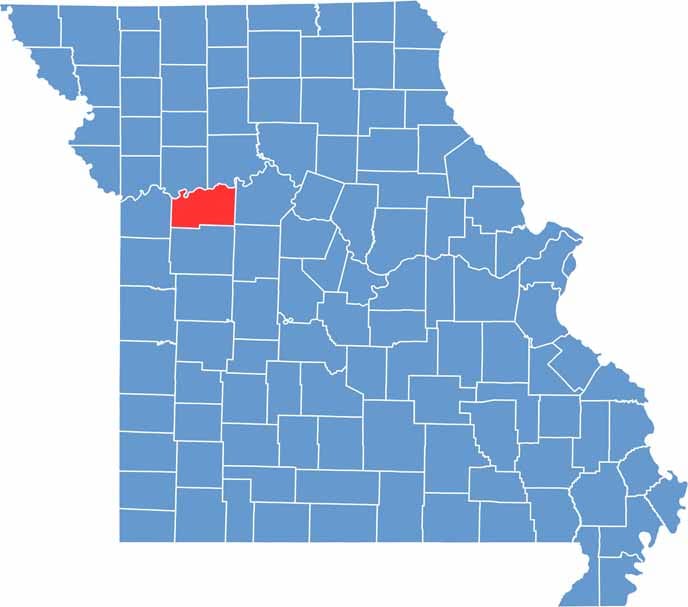

Lafayette County location map showing the county's position within Missouri.
Category Details
County Name Lafayette County
County Seat Lexington
Cities, Towns, and Communities Lexington, Higginsville, Odessa, Bates City, Corder, Dover, Wellington, Alma
Interstates and Highways I-70, US 24, MO 13, MO 23, MO 131
Population Approximately 33,000
FIPS Code 29-107
Total Area (Land and Water) 639 square miles (Land: 628 sq mi, Water: 11 sq mi)
Time Zone Central Time Zone (CT)
State Missouri
Coordinates 39.0319° N, 93.8541° W
Etymology Named after the Marquis de Lafayette, a French hero of the American Revolutionary War
Major Landmarks Battle of Lexington State Historic Site, Confederate Memorial State Historic Site, Wentworth Military Academy Museum
Adjacent Counties (and Direction) Ray County (Northwest), Carroll County (Northeast), Saline County (East), Johnson County (South), Jackson County (West), Pettis County (Southeast)
Scroll to Top