
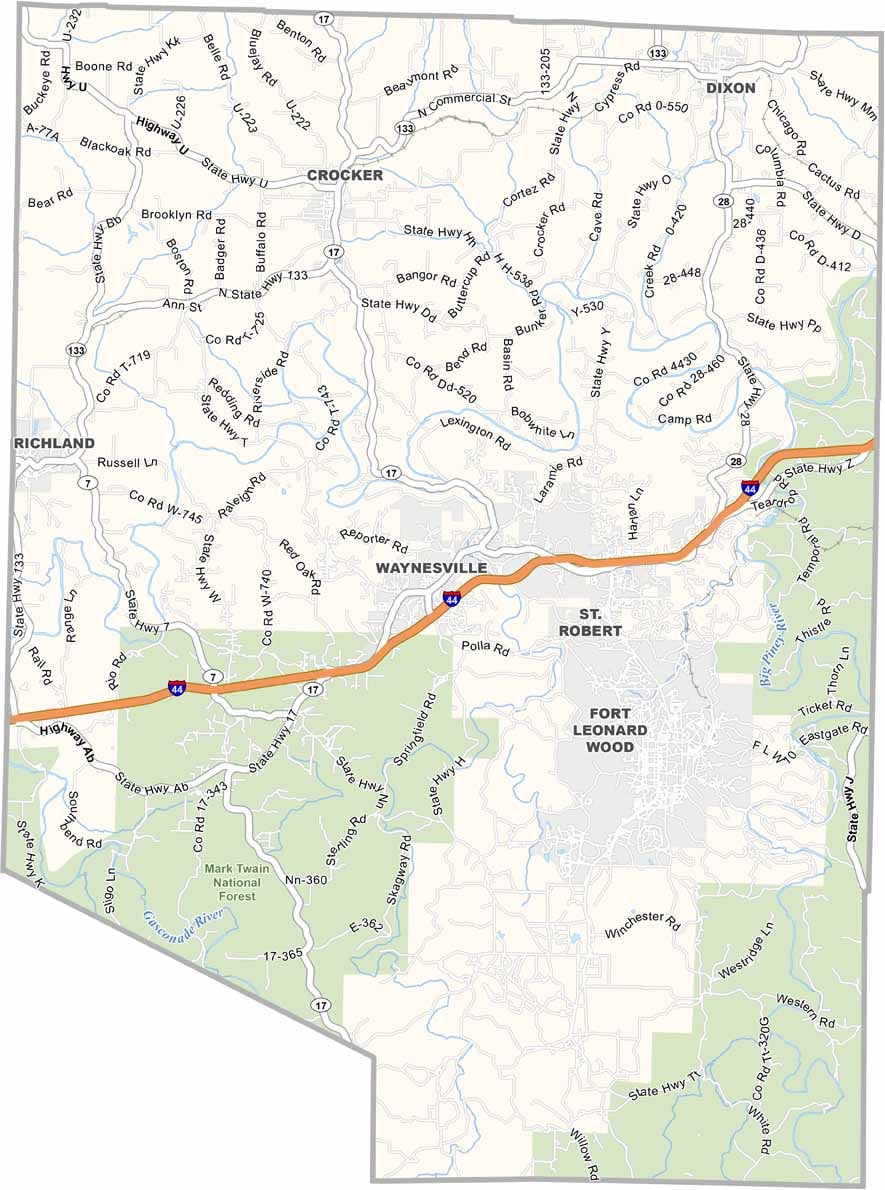
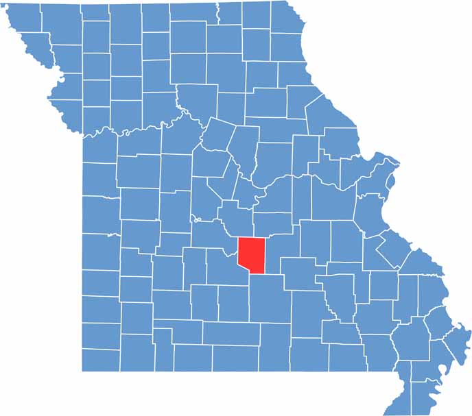
Pulaski County is located in central Missouri and is widely recognized for its strong military presence. Fort Leonard Wood plays a major role in the county’s economy and identity, serving as a key training center for soldiers, military engineers, and law enforcement personnel.
The Big Piney River is one of the area’s most popular natural attractions, offering excellent opportunities for floating, fishing, and outdoor recreation. Waynesville, the county seat, provides a welcoming small-town atmosphere while serving as a hub for local businesses and community activities. Interstate 44 runs through the county, making the region easily accessible to travelers.
Pulaski County is also known for its fascinating caves and unique geological features, with several caves open for guided tours. Visitors can also explore Devil’s Elbow, a historic and sharply curved section of the Big Piney River that earned its name from the challenges it once posed to river travelers and log rafts.

Wright County Map Missouri

Worth County Map Missouri
Wayne County Map Missouri
Warren County Map Missouri
Washington County Map Missouri
