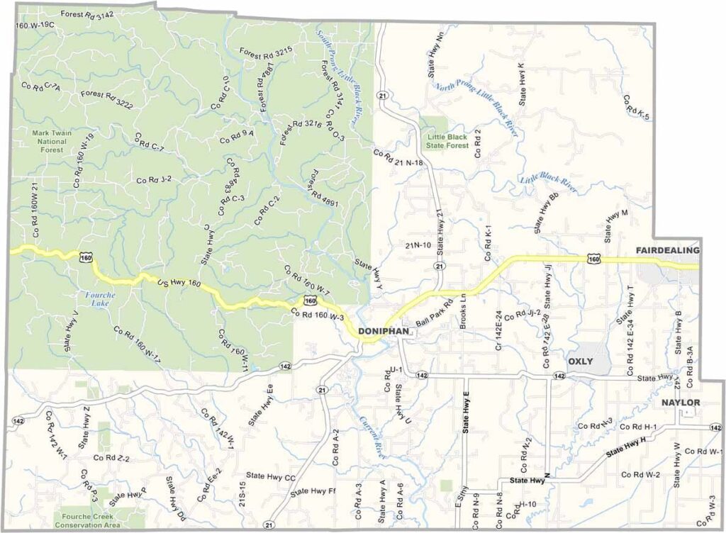
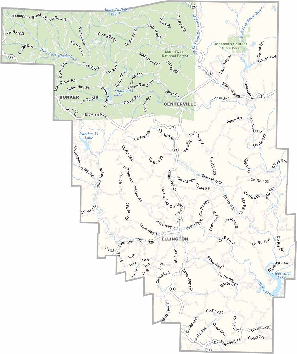
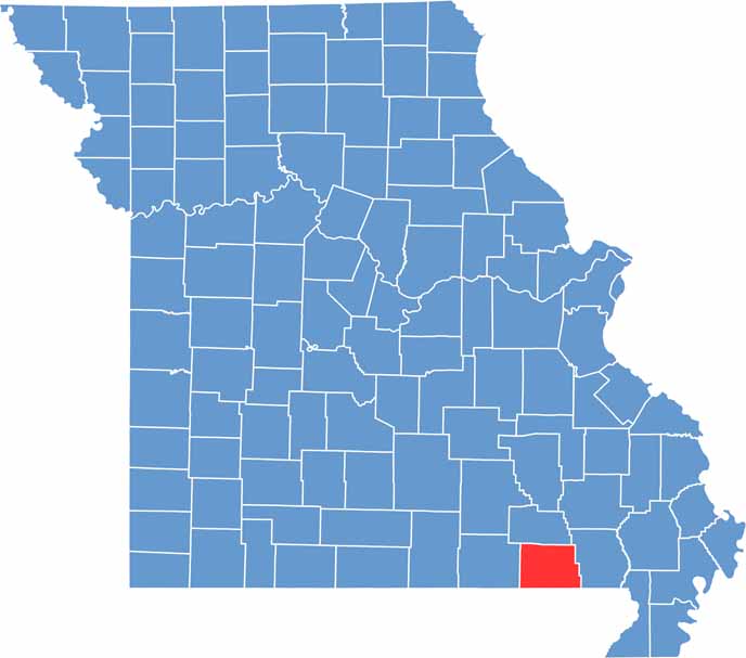
Ripley County is located in southeastern Missouri and is known for its rolling hills, lush forests, and crystal-clear springs. The county offers a scenic Ozark landscape that attracts nature lovers and outdoor enthusiasts throughout the year.
The Current River is one of the county’s greatest natural treasures and is part of the Ozark National Scenic Riverways. Its clear waters provide exceptional opportunities for canoeing, kayaking, fishing, and other outdoor activities.
Ripley County also boasts a rich cultural and historical heritage. Attractions such as the Current River Heritage Museum preserve the stories, artifacts, and traditions that have shaped the region over the years.

Missouri
Wright County Map Missouri

Missouri
Worth County Map Missouri
Missouri
Wayne County Map Missouri
Missouri
Warren County Map Missouri
Missouri
Washington County Map Missouri

Missouri