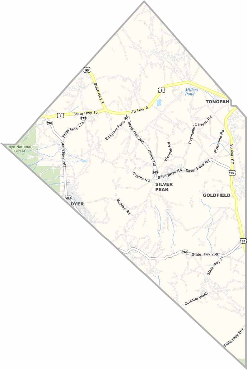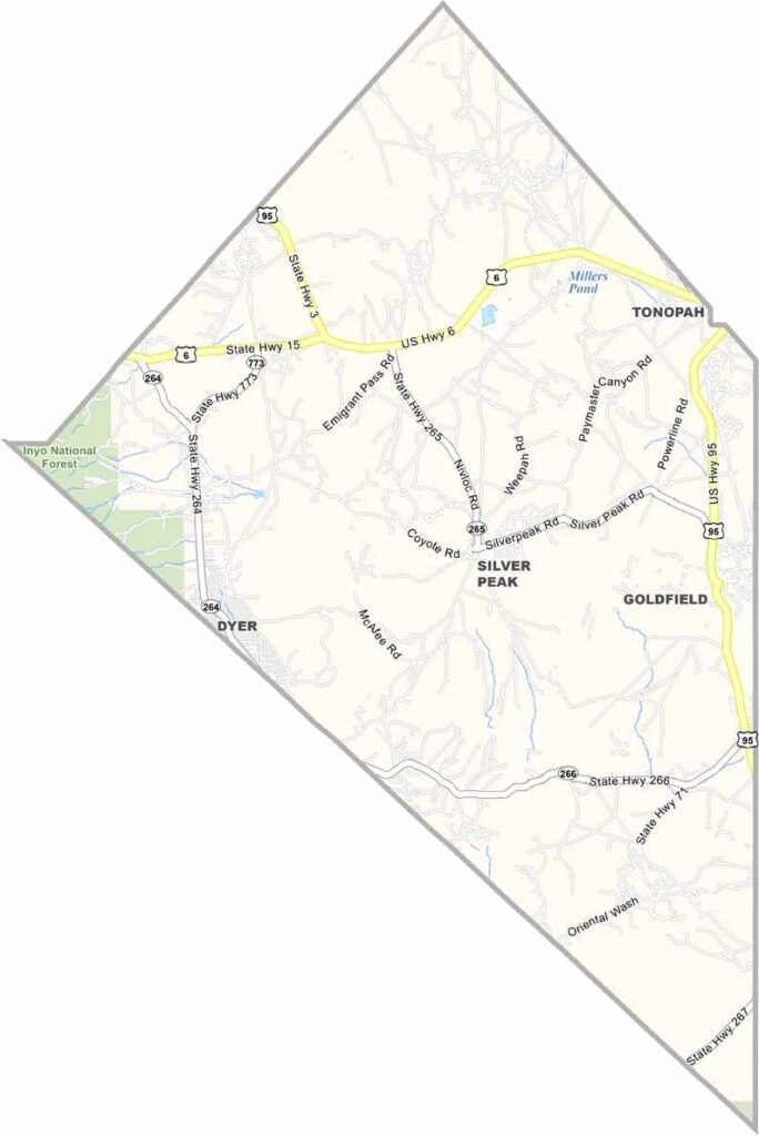
Esmeralda County Map, Nevada

Esmeralda County, Nevada

Esmeralda County lies way down in the southwest corner of Nevada and is one of the least populated counties in the entire United States. Just a tad over 700 people live here, making it a place where you can really get away from it all.

Goldfield, the county seat, was once a booming gold rush town and is now a shadow of its former self. The landscape is pure high desert, stark, beautiful, and unforgiving. You won't find a single stoplight in the whole county.

Hikers and rockhounds come for the excellent rockhounding opportunities. With so little light pollution, the night sky is something else, and the stars seem close enough to touch. Esmeralda County is not for everyone, but those who love wide open spaces and quiet solitude will find something special here.
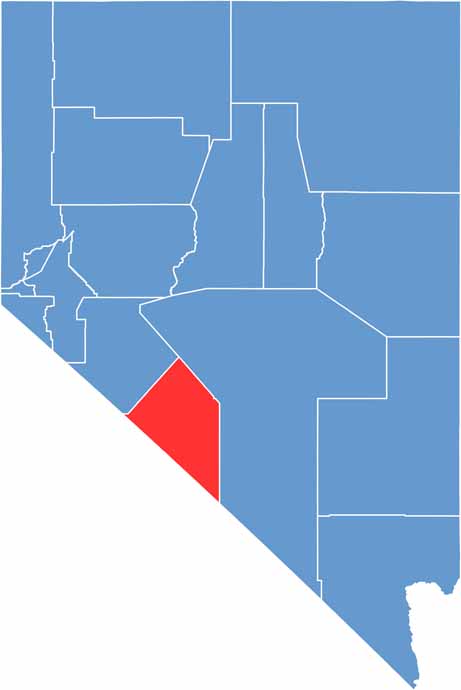
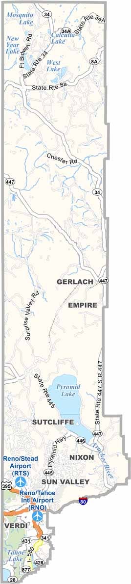
Esmeralda County location map of Nevada
CategoryDetails
County NameEsmeralda County
County SeatGoldfield
EtymologyNamed after the Spanish word for “emerald”
Cities, Towns, and CommunitiesGoldfield, Silver Peak, Dyer
Interstates and HighwaysU.S. Highway 95, Nevada State Route 266
FIPS Code32-009
Total Area (Land and Water)3,589 square miles (3,582 sq mi land, 7 sq mi water)
Adjacent Counties (and Direction)Mineral County (Northwest), Nye County (East), Inyo County, California (South), Mono County, California (West)
Time ZonePacific Time Zone (PT)
StateNevada
Coordinates37.7118° N, 117.6340° W
Major LandmarksGoldfield Historic District, International Car Forest of the Last Church
PopulationApproximately 1,000
Scroll to Top