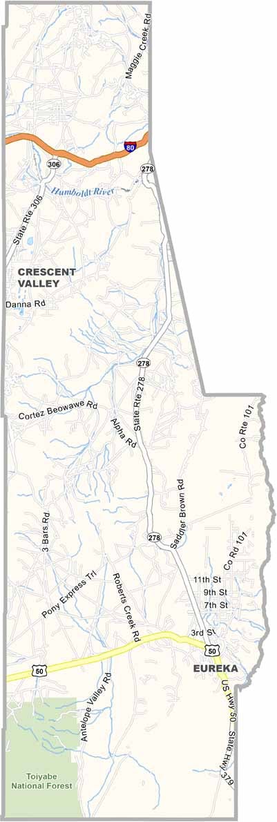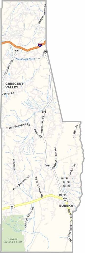
Eureka County Map, Nevada

Eureka County, Nevada

Eureka County sits in the middle of Nevada, a place that feels like stepping back in time. It's sparse. Really sparse, with about 2,000 people spread across an area bigger than Rhode Island.

The town of Eureka, the county seat, looks much like it did during its 1870s silver boom. You can still see that history in the lovingly preserved Opera House and County Courthouse. Ranching and mining keep the local economy ticking.

The Ruby Hill Mine is a major employer, extracting gold and silver from the rocky earth. Outdoor types enjoy the Diamond Mountains for hiking and camping, far from the crowds, while hunters come for some of the best mule deer territory in the state.
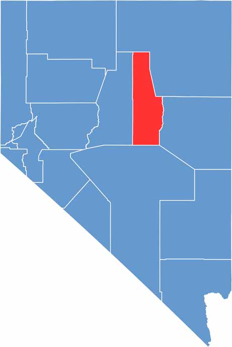
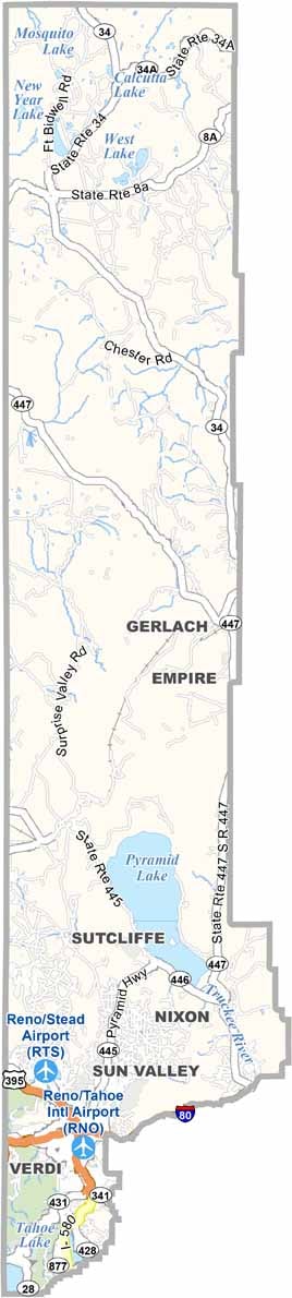
Eureka County location map of Nevada
CategoryDetails
County NameEureka County
County SeatEureka
EtymologyNamed after the Greek word “Eureka,” meaning “I have found it”
Cities, Towns, and CommunitiesEureka, Crescent Valley
Interstates and HighwaysU.S. Highway 50, Nevada State Route 278, Nevada State Route 306
FIPS Code32-011
Total Area (Land and Water)4,180 square miles (4,176 sq mi land, 4 sq mi water)
Adjacent Counties (and Direction)Elko County (Northeast), White Pine County (East), Nye County (South), Lander County (West)
Time ZonePacific Time Zone (PT)
StateNevada
Coordinates39.5126° N, 116.0056° W
Major LandmarksEureka Opera House, Ruby Hill Mining District, Fannie Komp Senior Center
PopulationApproximately 2,000
Scroll to Top