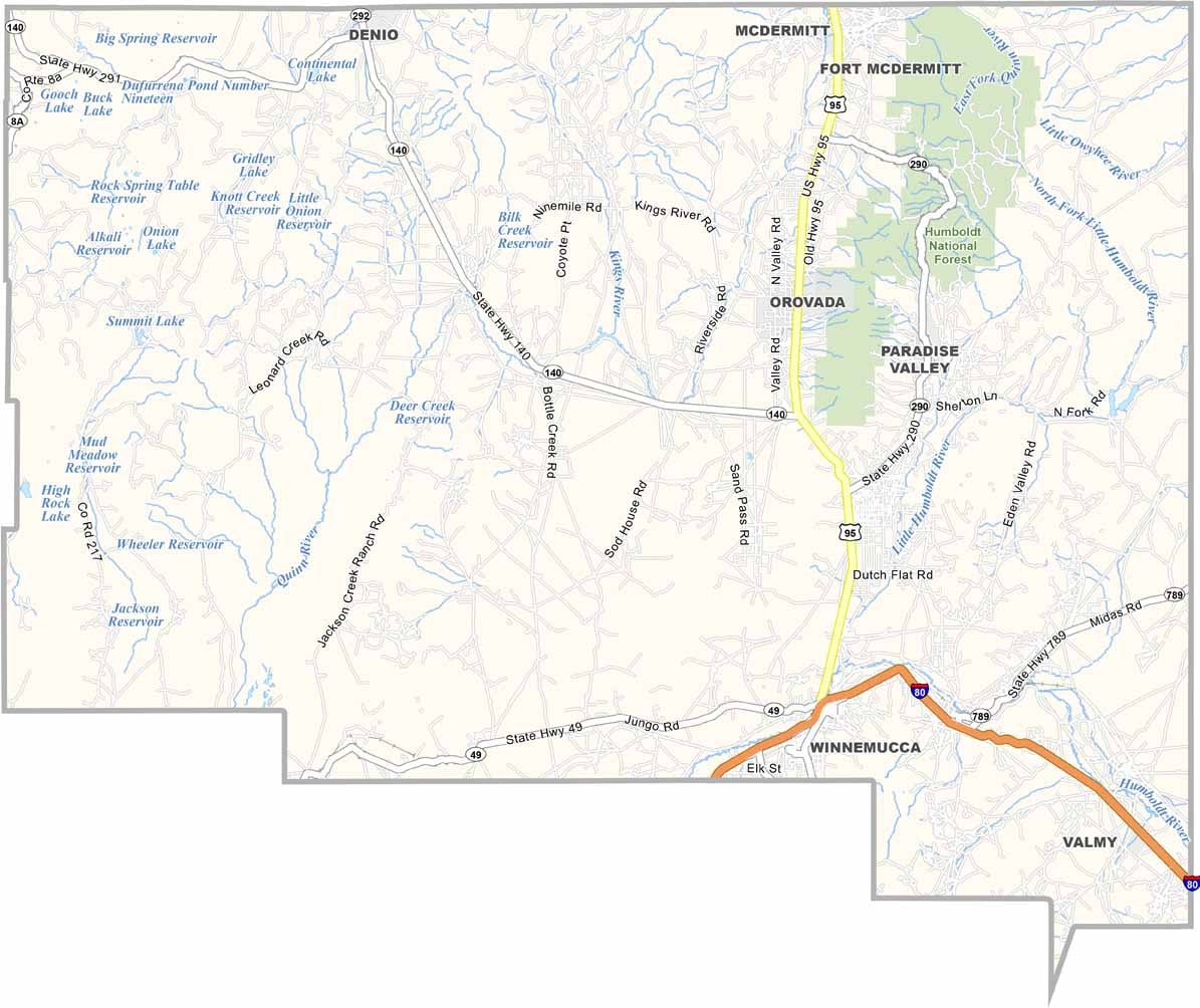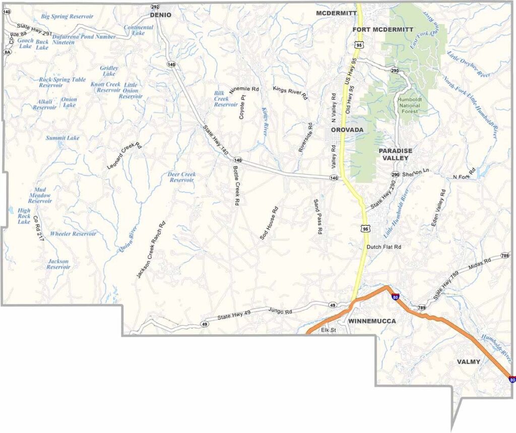
Humboldt County Map, Nevada

Humboldt County, Nevada

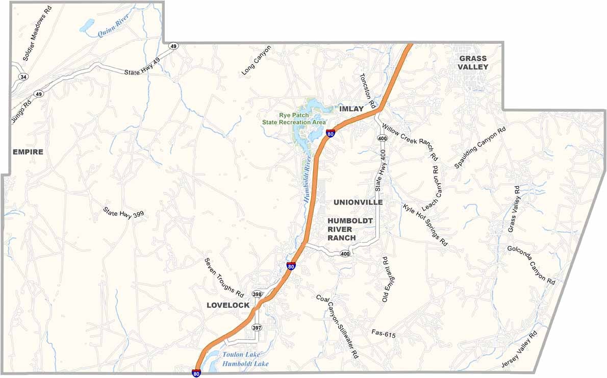
Humboldt County sprawls across northwestern Nevada, a vast expanse of high desert and mountain ranges. Winnemucca, the county seat, serves as a pit stop for travelers on I-80. This is prime cowboy country, where ranching still shapes the local culture.

The Humboldt River snakes through the landscape, including through Humboldt National Forest. You can feel the area's history in places like the Buckaroo Hall of Fame, which celebrates the region's Western heritage. The county borders Oregon just to the north.

Visitors head to the Santa Rosa Mountains for hiking and camping, far from the crowds. Despite its rural nature, Humboldt County has a surprisingly diverse population thanks to its mining industry. Gold and silver have long been the county's lifeblood, with modern mines still operating today.
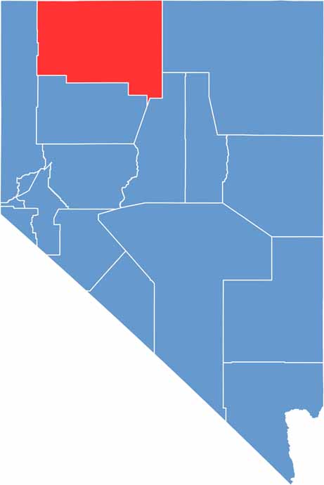
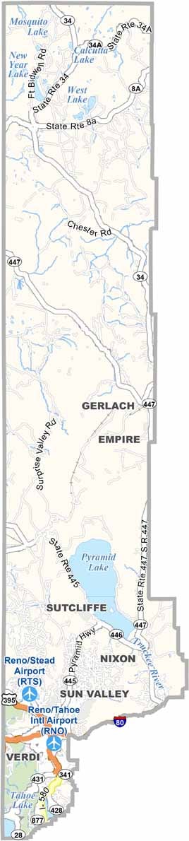
Humboldt County location map of Nevada
CategoryDetails
County NameHumboldt County
County SeatWinnemucca
EtymologyNamed after the Humboldt River, which was named after German naturalist Alexander von Humboldt
Cities, Towns, and CommunitiesWinnemucca, McDermitt, Denio, Orovada, Paradise Valley
Interstates and HighwaysInterstate 80, U.S. Highway 95, Nevada State Route 140
FIPS Code32-013
Total Area (Land and Water)9,658 square miles (9,641 sq mi land, 17 sq mi water)
Adjacent Counties (and Direction)Harney County, Oregon (Northwest), Malheur County, Oregon (North), Owyhee County, Idaho (Northeast), Elko County (East), Lander County (Southeast), Pershing County (South), Washoe County (West)
Time ZonePacific Time Zone (PT)
StateNevada
Coordinates41.4096° N, 117.7164° W
Major LandmarksWinnemucca Sand Dunes, Paradise Valley, Sheldon National Wildlife Refuge
Population
Scroll to Top