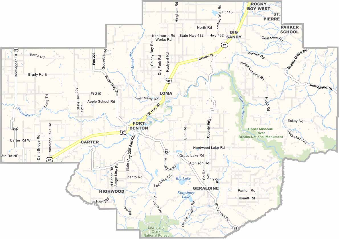
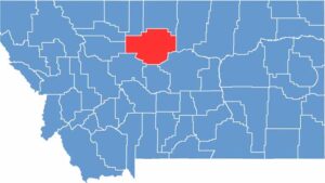
Chouteau County, Montana

The Missouri River runs through the heart of Chouteau County in north-central Montana. Fort Benton, the county seat, was once the world’s innermost port, believe it or not. Steamboats used to chug up the Missouri, bringing in supplies and carrying away furs and gold.

These days, it’s mostly wheat leaving by trucks and trains. Yep, agriculture remains a major part of the local economy. The county is named after Pierre Chouteau Jr., a fur trader who established Fort Benton as the last fur-trading post.

You’ll find some of the most productive farmland in the state here. Visitors also come to explore the old fort and learn about the area’s rich Native American heritage. It’s not a flashy place, but Chouteau County has a quiet beauty that grows on you.

CategoryDetails
County NameChouteau County
County SeatFort Benton
EtymologyNamed after Pierre Chouteau Jr., a fur trader and entrepreneur
Cities, Towns, and CommunitiesFort Benton, Big Sandy, Geraldine, Loma, Carter
Interstates and HighwaysUS 87, MT 80, MT 236
FIPS Code30-015
Total Area (Land and Water)3,997 square miles (Land: 3,972 sq mi, Water: 25 sq mi)
Adjacent Counties (and Direction)Liberty County (North), Hill County (North), Blaine County (East), Fergus County (Southeast), Judith Basin County (South), Cascade County (South), Teton County (West), Pondera County (Northwest)
Time ZoneMountain Time Zone (MT)
StateMontana
Coordinates47.8833° N, 110.6364° W
Major LandmarksMissouri Breaks National Monument, Fort Benton Historic District, Lewis and Clark Memorial
PopulationApproximately 5,800
Scroll to Top