
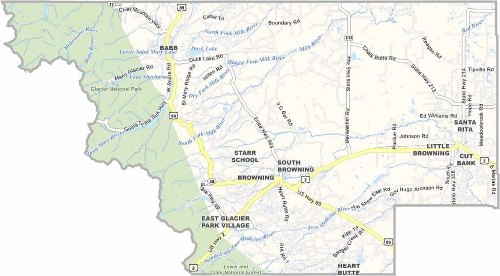
Glacier County lies in far northern Montana, where the Rocky Mountains meet the Great Plains. It’s a place of breathtaking scenery. The eastern half of Glacier National Park lies within the county, which means spectacular mountain views are never far away.
Cut Bank serves as the county seat and is known for being one of the coldest places in the contiguous United States. Locals joke that they have two seasons: winter and August. The Blackfeet Indian Reservation covers a large part of the county, adding a rich layer of cultural heritage. Wildlife is everywhere, from grizzly bears and mountain goats in the high country to pronghorn antelope across the prairies.
Ranching and farming remain major parts of the local economy, but tourism gives them plenty of competition. You may also spot oil rigs along the way, a reminder that there’s more to this place than beautiful scenery. It’s the kind of place where you can drive for hours without seeing another person, but those you do meet will probably greet you with a wave and a smile.
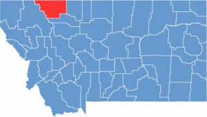
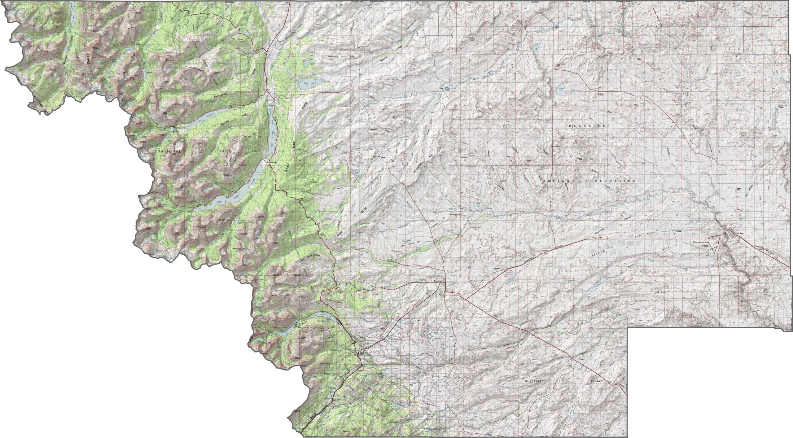
Glacier County is shaped by powerful natural forces. Deep valleys cut through the mountains, creating wide, shadowed gaps. The Rocky Mountains rise sharply along the western side, while the land becomes flatter to the east. Use our zoom tool in the topographic map to explore the county.
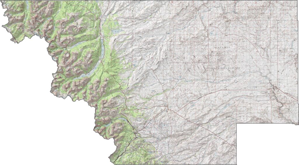
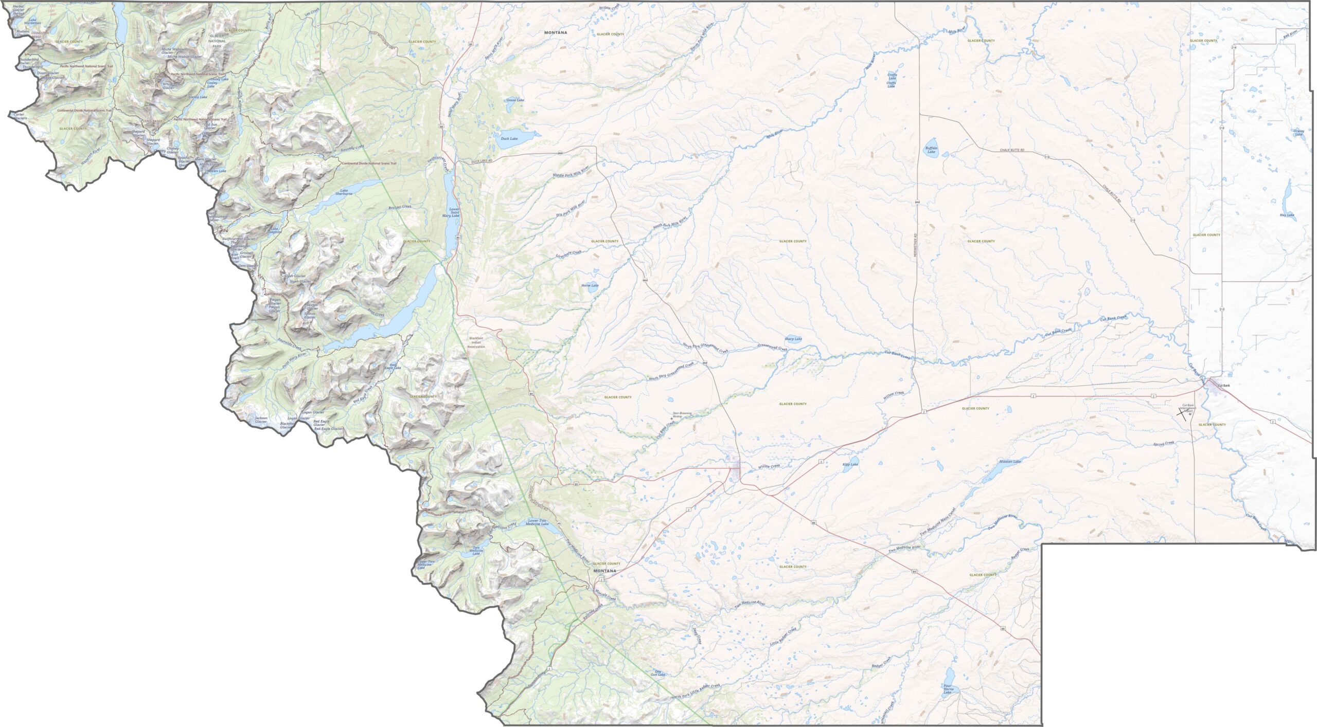
Glacier County doesn’t have a dense road network, but the roads that are here are important. U.S. Highway 2 crosses the southern edge, while smaller routes such as Highway 89 provide access through the area and north toward Canada. Zoom in on our road map below to follow the roads through the mountains and plains.
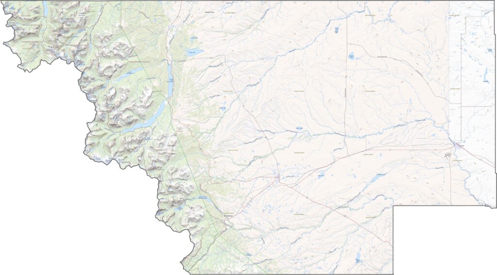
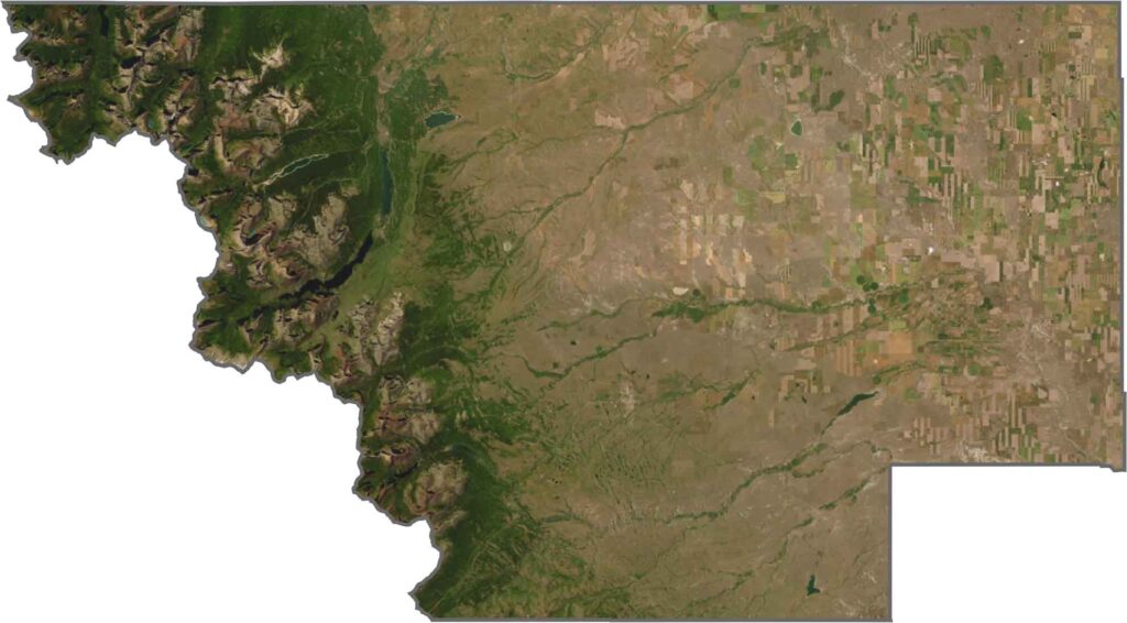
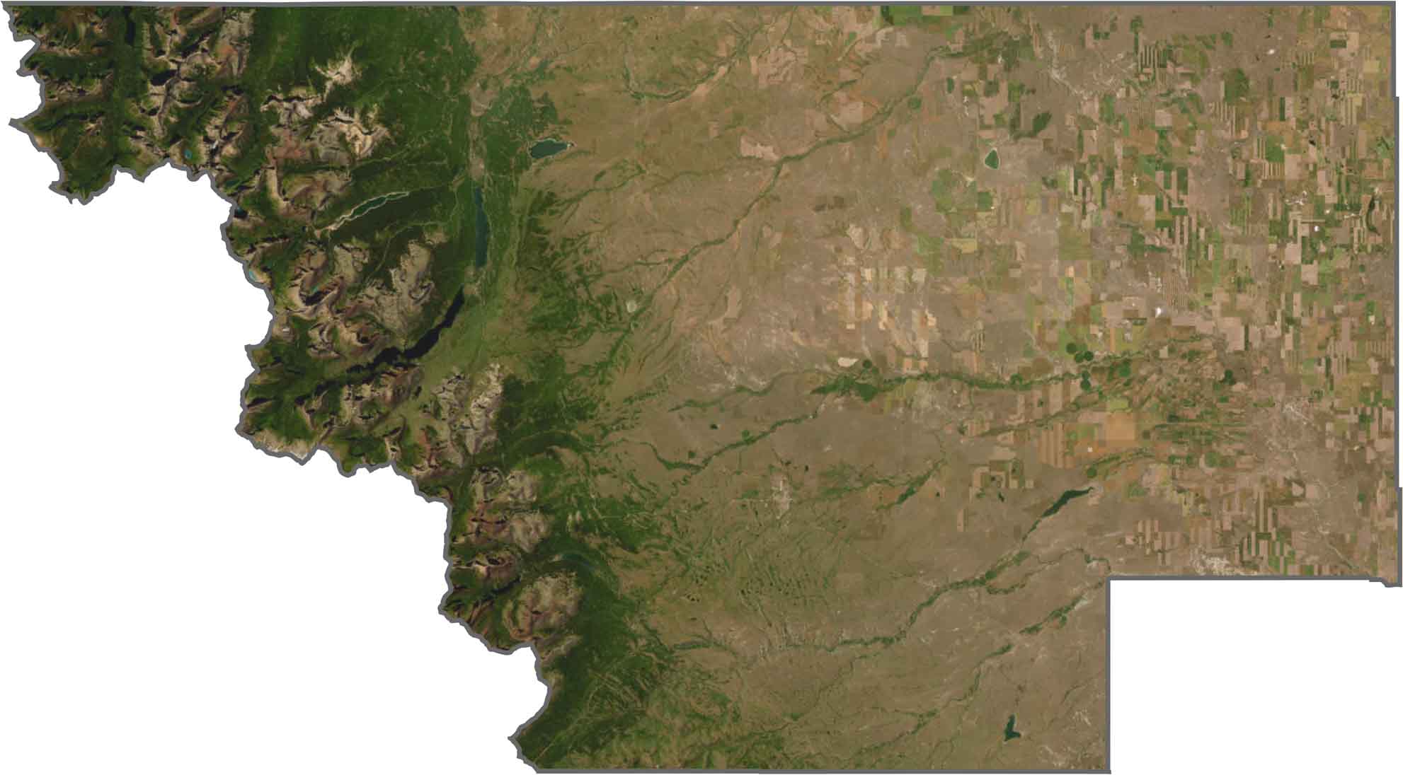
At first glance, Glacier County looks almost divided in two. The western side is dominated by rugged mountains that cast dark, broken shadows, while the land to the east stretches out in softer, muted colors.
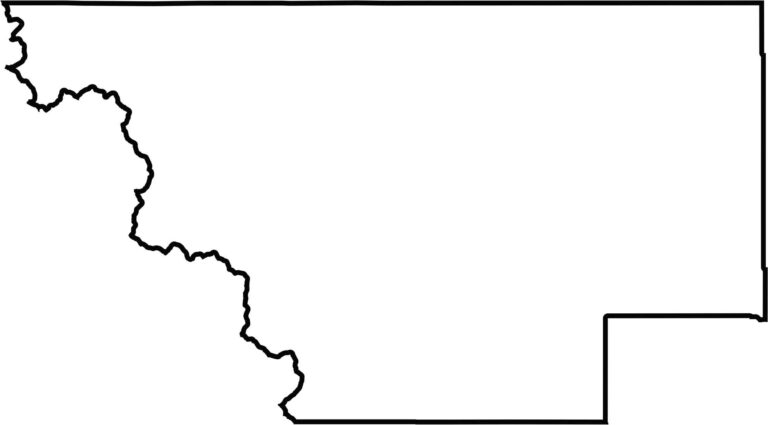
Glacier County has a long, jagged shape. Its northern edge follows the Canadian border. Although no river forms its boundaries, steep ridges define much of the western side.








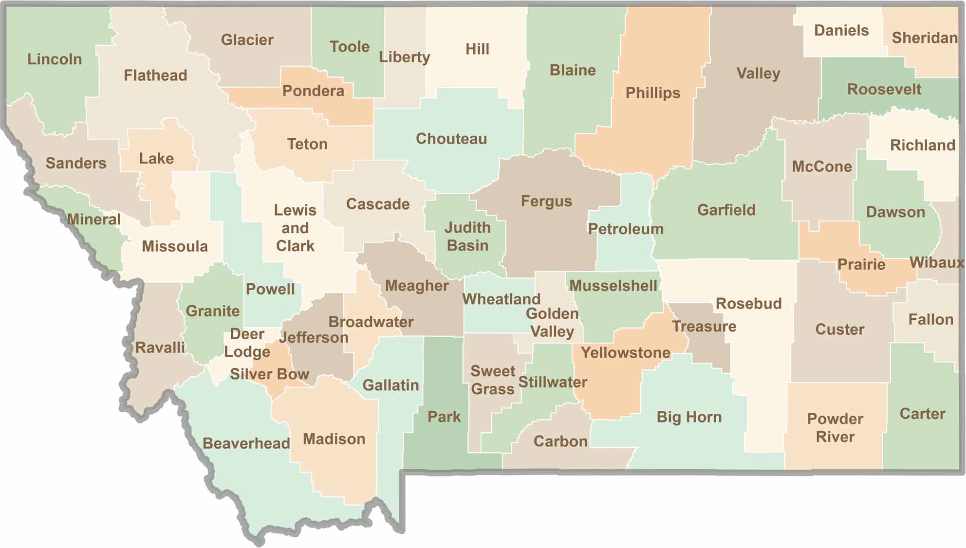
Big skies and wide-open adventures define Montana, where all 56 counties offer their own blend of rugged landscapes, scenic beauty, and Western character. From sweeping plains and mountain ranges to peaceful valleys and remote wilderness, Montana is filled with places to explore.